Photograph: Modis/Aqua/Nasa
Photograph: Modis/Aqua/Nasa
Photograph: Modis/Aqua/Nasa
Photograph: ALI/EO-1/Nasa
Photograph: ALI/EO-1/Nasa


Photograph: GOES/Nasa
Photograph: Modis/Aqua/Nasa
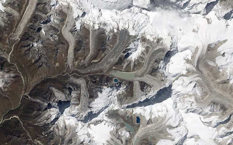
Photograph: ALI/EO-1/Nasa

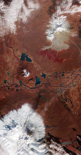
Photograph: ISS/Nasa
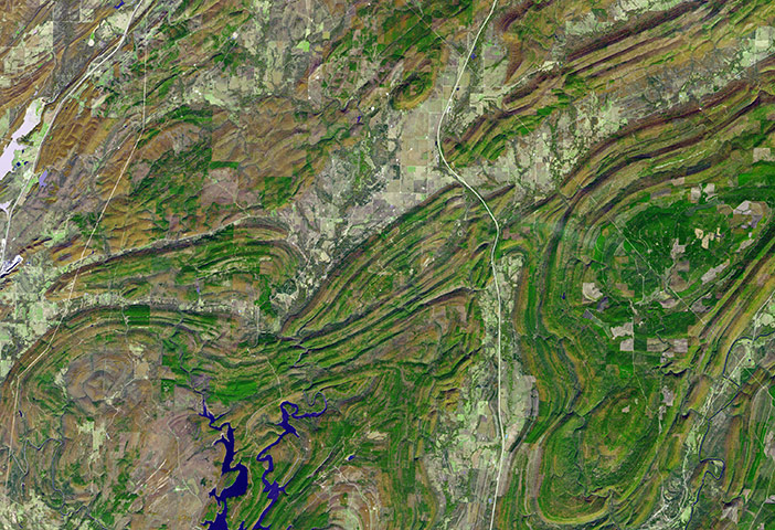
Photograph: ASTER/Terra/Nasa
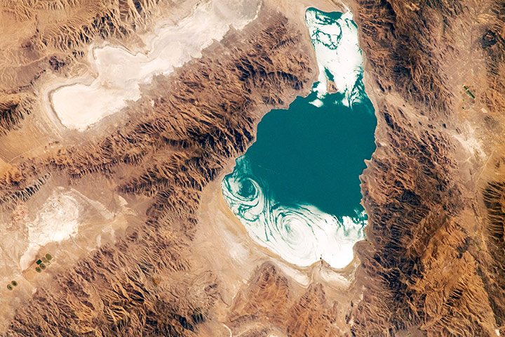
Photograph: ISS/Nasa
Photograph: MODIS/Terra/Nasa