Photograph: Modis/Terra/Nasa
Photograph: Meris/Envisat/ESA
Photograph: Aster/Terra/Nasa
Photograph: Modis/Terra/Nasa
Photograph: ISS/Nasa
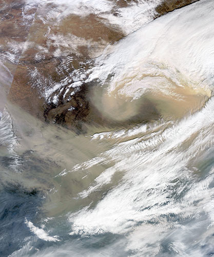
Photograph: Modis/Aqua/Nasa
Photograph: ALI/EO-1/NASA
Photograph: ISS/Nasa
Photograph: Nasa
Photograph: Ali/EO-1/Nasa
Photograph: Meris/Envisat/ESA
Photograph: Ali/EO-1/Nasa
Photograph: ISS/Nasa
Photograph: Ali/EO-1/Nasa
Photograph: Modis/Terra and Aqua/Nasa
Photograph: Modis/Aqua/Nasa
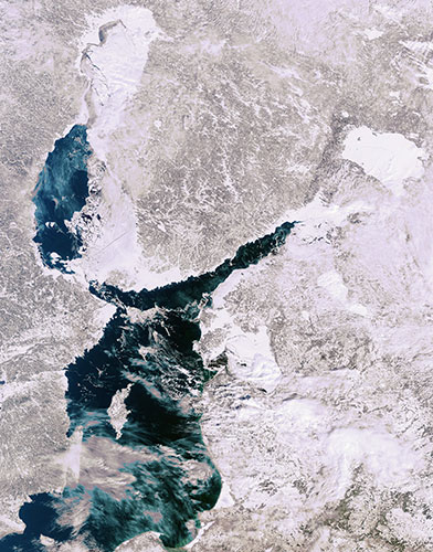
Photograph: Modis/Terra/Nasa

Photograph: Ali/EO-1/Nasa
Photograph: Modis/Aqua/Nasa
Photograph: Modis/Terra/Nasa