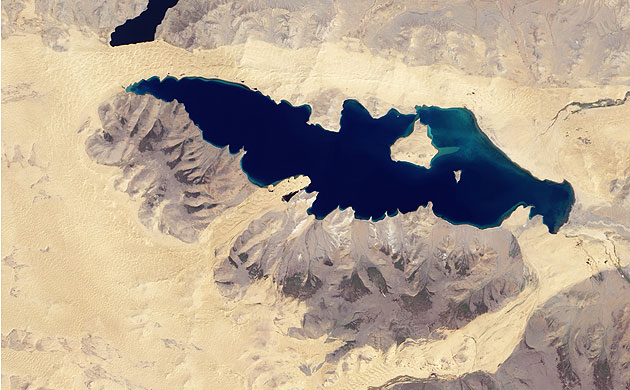
Photograph: ALI/EO-1/NASA
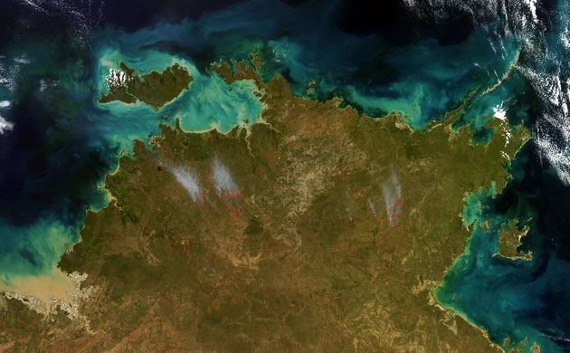
Photograph: MODIS/Aqua/NASA
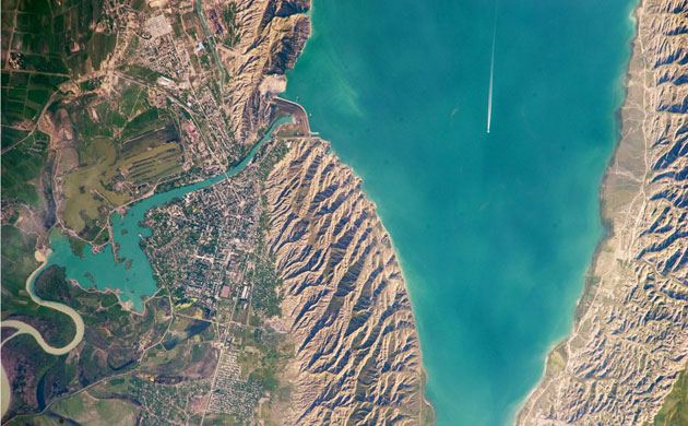
Photograph: ALI/EO-1/NASA
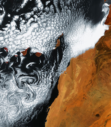
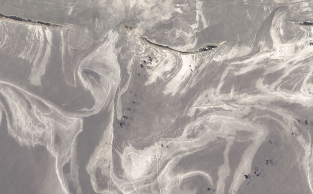
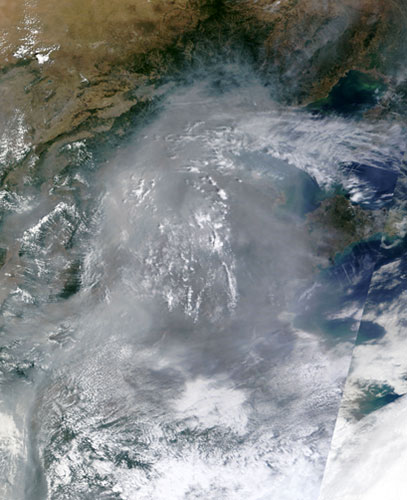
Photograph: MODIS/Terra/NASA
Photograph: ALI/EO-1/NASA

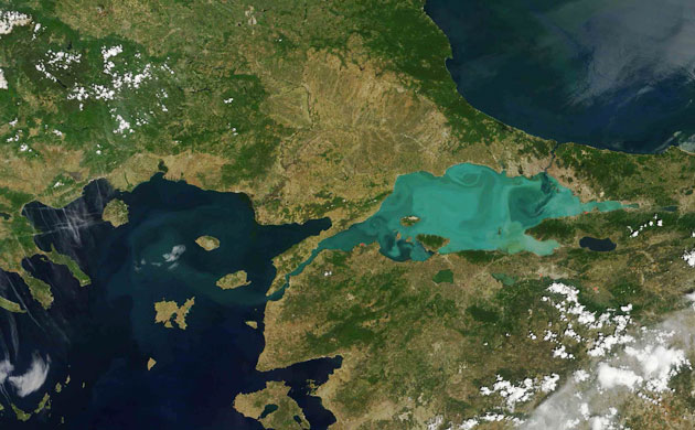
Photograph: MERIS/Envisat/ESA
Photograph: ALI/EO-1/NASA
Photograph: MODIS/Terra/NASA
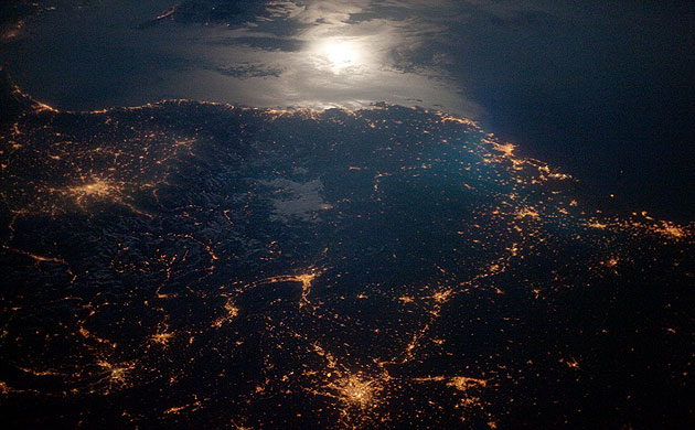
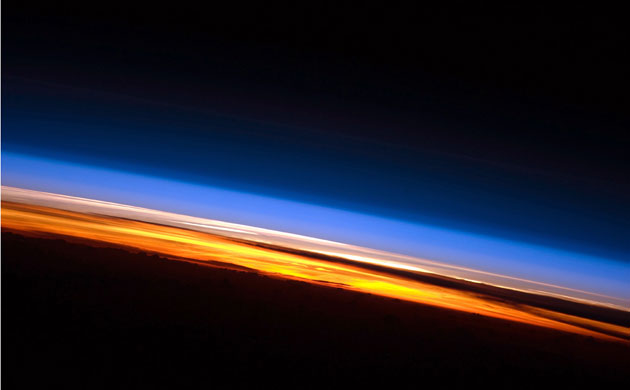
Photograph: ISS/NASA

Photograph: ALI/EO-1/NASA
Photograph: Envisat/ESA
Photograph: ALI/EO-1/NASA
Photograph: MODIS/Terra/NASA
Photograph: ALI/EO-1/NASA
Photograph: MODIS/Aqua/NASA
Photograph: MODIS/Terra/NASA
Photograph: ISS/NASA
Photograph: ISS/NASA