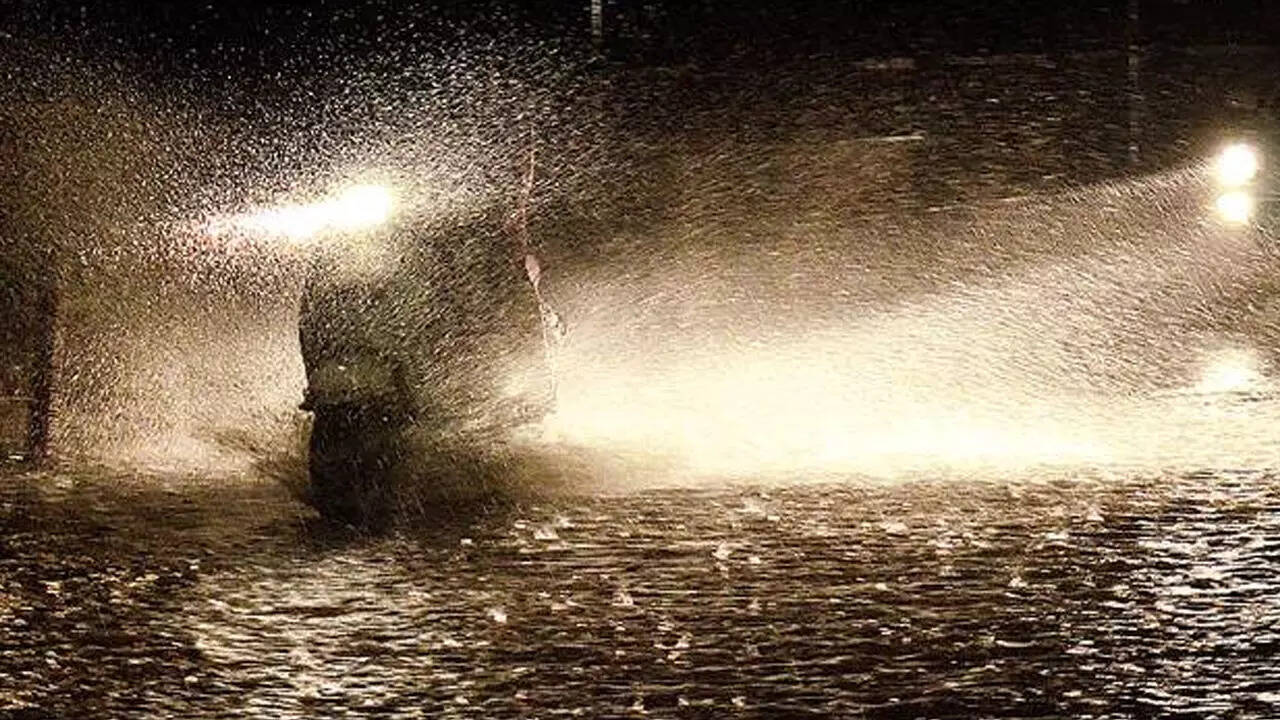
PANAJI: Thunderstorms accompanied by lightning are likely to continue over Goa till Monday as the combined impact of a trough from the Arabian Sea and the remnant of a low pressure system over south interior Karnataka will take some time to wear off.
“The rain is due to a trough from a well-marked low pressure area which initially formed as a low pressure area in the Arabian Sea and remnant circulatio of a low pressure area over south interior Karnataka,” Rahul M, scientist, India meteorological department (IMD), Panaji said.
The system over Karnataka is remnant of the depression that had crossed near Chennai on Friday. Both systems triggered intense moisture inflow and widespread rainfall over the state during the last 24-hours since Saturday afternoon.
Earlier last week IMD had forecast heavy rainfall on the weekend. Quepem received heavy rainfall of 69.4m similar to the monsoon season, while Panaji recorded 19mm, Margao 16.2m, Sanguem 16mm and other centres on a lesser scale. The state average rainfall recorded on Saturday was 16.3mm.
Identically another spell on November 6 had yielded 16.3mm. But the wettest 24-hour spell during this month was 26.8mm recorded on November 17.
With this continuing offseason rain activity continuing to impact agriculture and other activities, the post-monsoon total has touched 349.6mm. A total of 188.3mm is considered normal at this stage and the surplus has soared to 86%. Thunderstorms during the next two days are likely to be in isolated places.