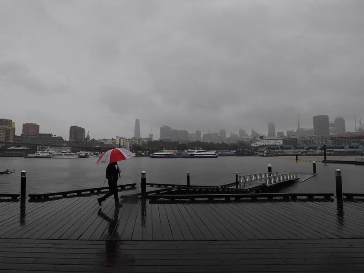
The Bureau of Meteorology has issued warnings for damaging winds, heavy rain and large hail for parts of NSW, with conditions clearing for a warm and sunny long weekend.
BOM meteorologist Hugh McDowell said widespread rainfall and thunderstorms in inland NSW had peaked on Wednesday and Thursday and the weather front was now moving towards the coast.
Severe thunderstorms hit numerous locations, with hail up to five centimetres in diameter and 85km/h wind gusts recorded in Bourke in the state's far west.
Walgett in northern NSW saw 60mm of rain - double its monthly average for September - in one day, while Canberra recorded 38mm, or half its September average.
While most communities will only experience showers or rain over the next couple of days, some will see more thunderstorms between now and the weekend, he said.
Friday could bring isolated thunderstorms over central eastern NSW but many locations will be spared storm activity.
"But there will be widespread showers across many parts of the state," he said.
The BOM said people should monitor for changes in their areas over coming days, with warnings remaining for storms, damaging winds, heavy rain and hail.
Conditions should ease as the trough moves offshore, making for a largely nice long weekend.
"We're looking at dryer and cooler conditions starting to improve from Saturday.
"Sunday looks mostly dry with temperatures above average - even into the 30s - with quite warm conditions developing and that's going to continue until Monday and potentially Tuesday," Mr McDowell said.
Parts of northern NSW will experience increased bushfire risk, as low humidity combines with westerly winds.
Residents in those areas are urged to remain alert for warnings from fire services.