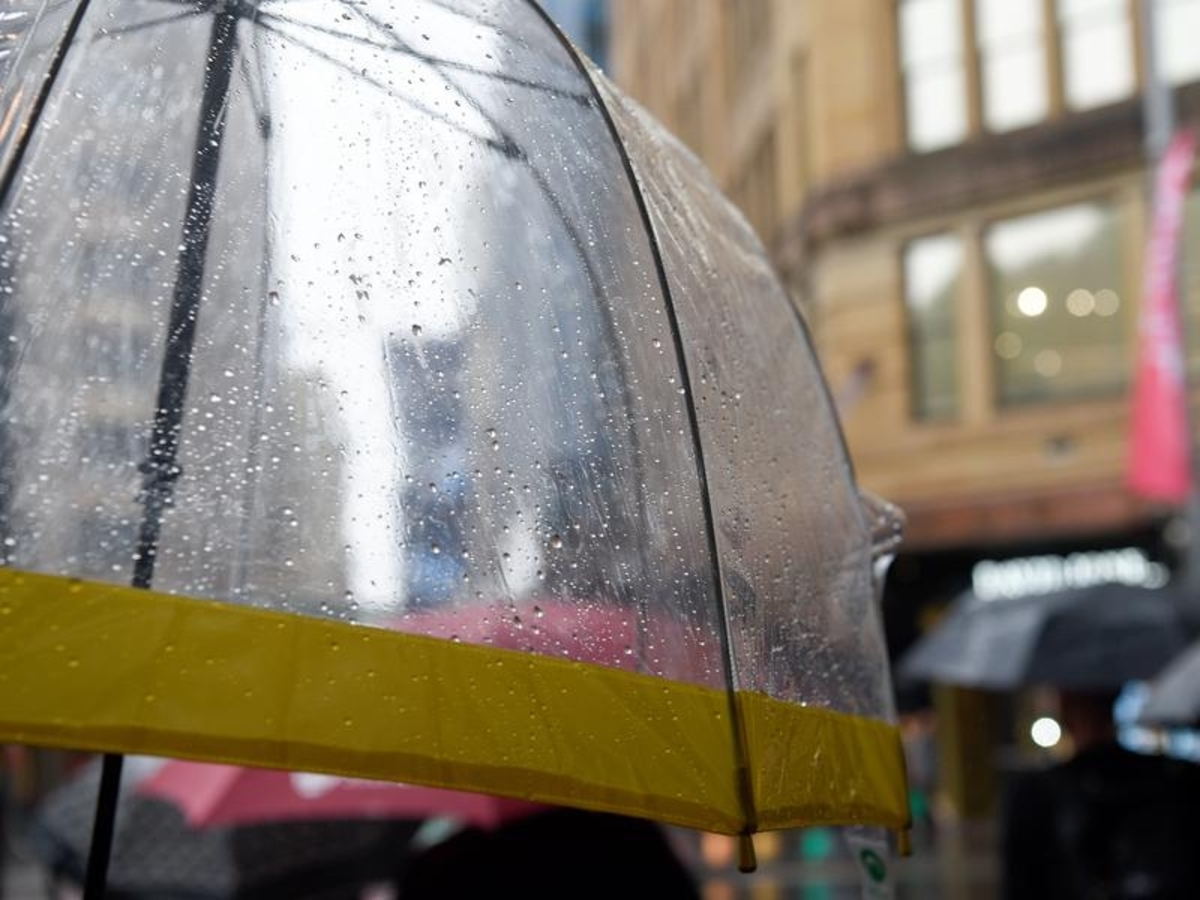
A rain band headed for the entire NSW coast will wash away smoke haze that has lingered in parts of the state for days, before giving way to a cold front.
The Bureau of Meteorology has forecast consistent falls as the rain moves in from western NSW, before developing into a low pressure system off the south coast on Wednesday.
Some thunderstorms are possible across the state, but the south coast will bear the brunt on any adverse weather when the low develops.
"It's not going to be benign," meteorologist Helen Reid said.
"We're expecting rainfall to really pick up there... (it) might even be around the 50 millimetre mark for quite a few locations."
An increase in thunderstorm activity, wind and hazardous surf is also expected.
While catchments are still wet from heavy rainfall in March, flooding isn't a big concern, Ms Reid said.
On the plus side, the rain, due to linger for a couple days, will help rid the state of smoke from hazard reduction burns.
"The areas that have been affected by smoke haze, we're expecting the rainfall to be washing the sky and helping us have better air to breathe for the next few days," she said.