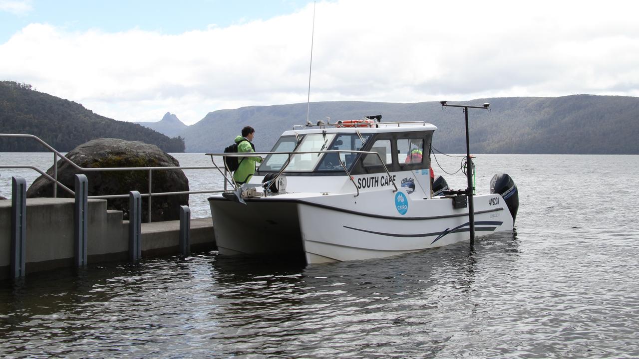
A high-tech sonar device and eight days of hard work in wild weather has solved the mystery of Australia's deepest lake.
The exact depth of Lake St Clair in Tasmania's picturesque Central Highlands has previously been unknown, with guesses ranging from 160 to 215 metres.
Mapping from a CSIRO team using a remote-operated vessel dubbed the "otter" has officially confirmed its maximum depth - a plunge of 163m.
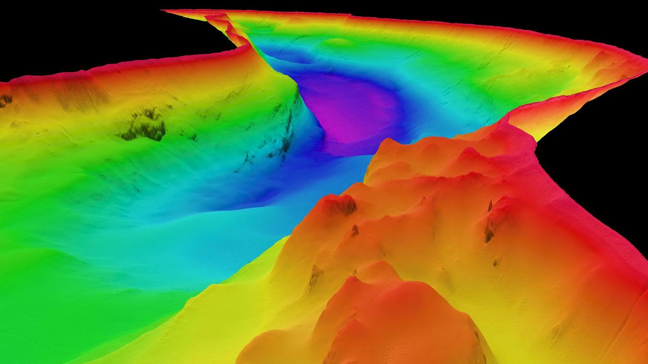
The figure is well beyond any other lake in Australia and is around twice as deep as Bass Strait, which reaches approximately 85m.
"Lake St Clair is absolutely Australia's deepest lake, with the next deepest lake being less than 100m deep," CSIRO hydrographic surveyor Augustin Deplante said.
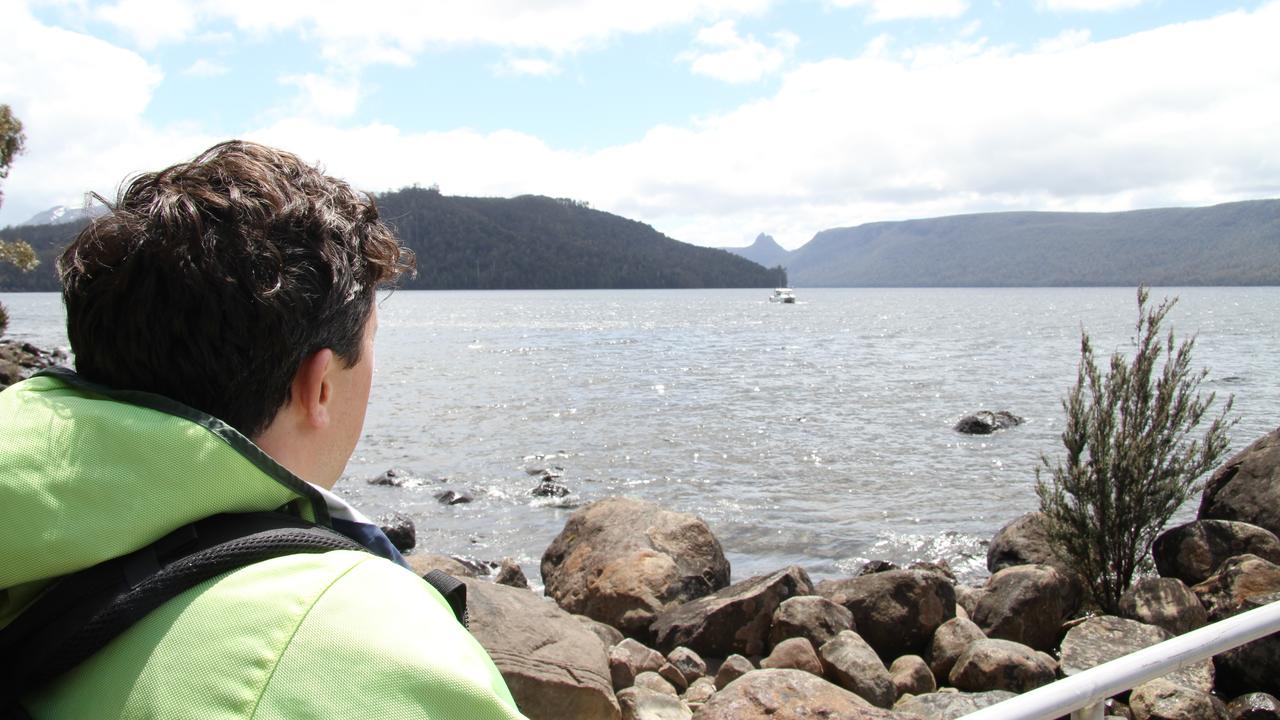
"We found Lake St Clair's deepest point is close to the western shore on the bend in the lake about 4km north of the visitor centre.
"There are several areas where the lake depth reaches 150m."
Lake St Clair, sited in a world-heritage national park, was carved from surrounding bedrock by ancient glaciers.
The highly detailed 3D mapping of the lake bed and shoreline has revealed dramatic underwater cliffs, deep ravines and towering rock formations.
It has also identified objects as small as 50cm and revealed fallen trees and several "mysterious features".
"While the data does not confirm the presence of a Lake St Clair 'Loch Ness' monster, it does offer a powerful new tool for exploring the lake's hidden depths," Mr Deplante said.
"Importantly, the project provided us with the opportunity for cross-disciplinary training for our team and to integrate the latest technologies into our toolbox to enhance the capabilities we offer the research community."
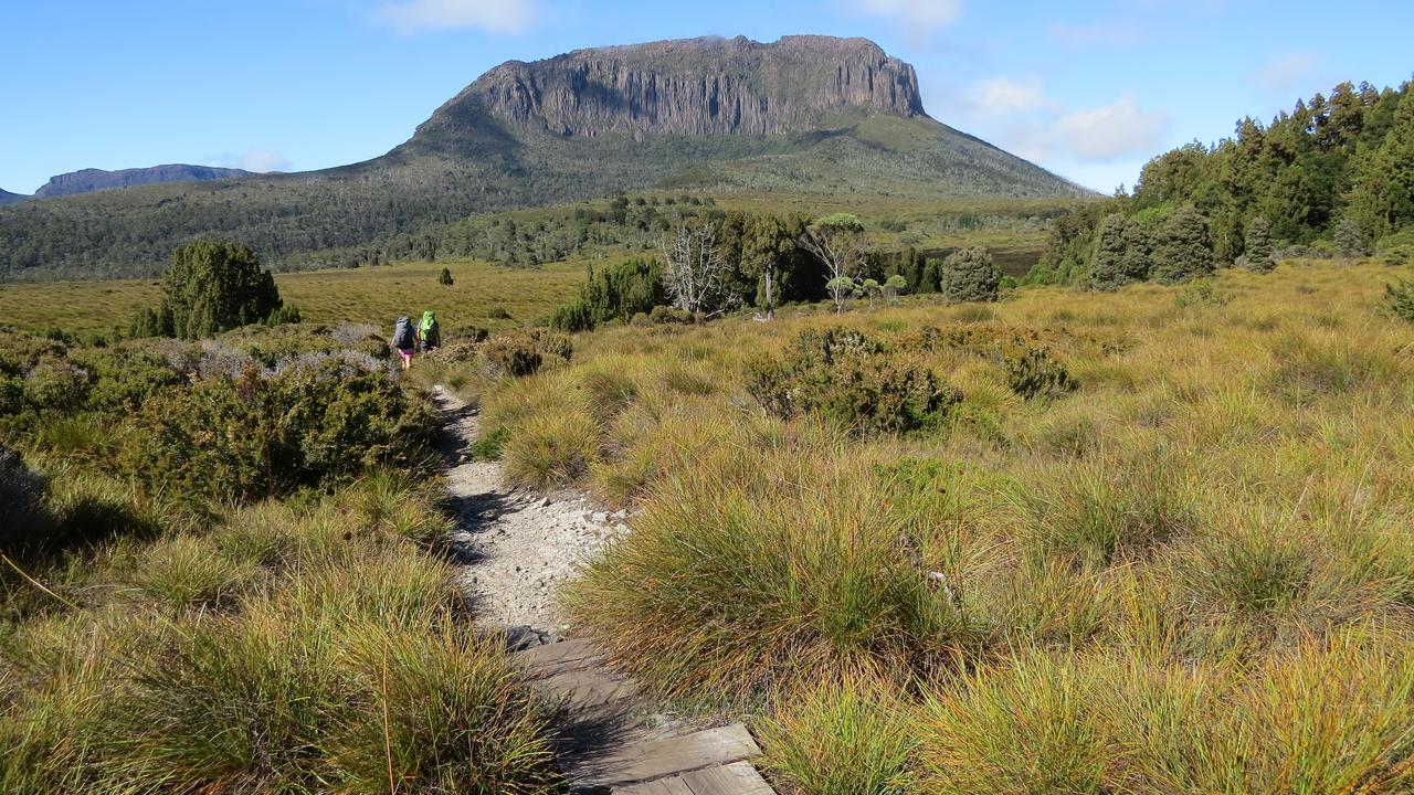
Lake St Clair, which also goes by the Aboriginal name Leeawuleena meaning sleeping water, is at the end of the multi-day Overland Track hike.
World heritage-listed Cradle Mountain is also at the popular tourist destination, while the hike itself is described as Australia's premier alpine walk.
The 2m-long "otter" used to gather the lake's data in 3D, which was operated from a vessel in weather described by researchers as wild, allowed mapping in areas inaccessible to larger boats.
It will be shared with several shareholders to get a better understanding of the lake's habitat.