Widespread rain and thunderstorms are intensifying over eastern Australia with the potential for destructive winds, giant hail and flooding.
Bureau of Meteorology senior meteorologist Jonathan How said a severe weather warning had been issued for the NSW south coast, south of Nowra, as rain eased through South Australia and picked up across much of the country's east.
"Rainfall will pick up from early Wednesday morning and there is the potential for six-hour totals of up to 50mm leading to flash flooding and damaging winds in excess of 90km/h," he said on Tuesday.
"More broadly across eastern Australia, we are expecting widespread rain and storms in coming days all the way from southern Queensland and into southern Victoria."
Flood watches have been issued for minor to moderate flooding in NSW catchments including the Peel and Namoi rivers.
In Victoria, minor to isolated major flooding was forecast for the Otways, Surf Coast and Wilsons Promontory.
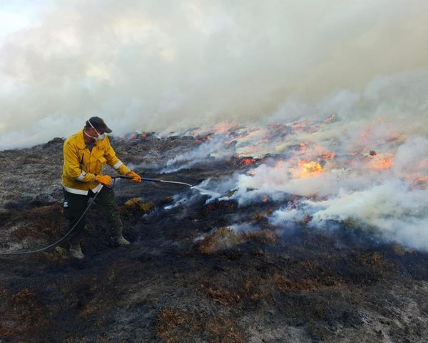
Severe heatwave and storm warnings were in place throughout Queensland on Tuesday, with flood warnings expected to increase as river levels rise in coming days.
Severe heatwave conditions in the north of the state - where temperatures were forecast to reach the mid to high 30s - are expected to build along the east coast and extend south during the week.
A severe thunderstorm warning for damaging winds and large hailstone was issued on Tuesday afternoon for people in parts of Queensland's Channel Country and Maranoa and Warrego districts in the southwest.
Moderate flood warnings were also in place in Queensland on Tuesday for the Moonie River and Wallam Creek, with flood warnings current for Mungallala Creek, and the Paroo and Barcoo Rivers.
Mr How said conditions were expected to ease on Tuesday afternoon after flooding and disruptions in Adelaide, with severe thunderstorms contracting east of Murray Bridge but continuing for Mildura and Ivanhoe up into northeastern parts of NSW.
"On Wednesday, we see the severe thunderstorm risk extend to the coast taking in Brisbane, Sydney and Canberra," he said.
Parts of southern Queensland and northern NSW could see destructive winds of more than 125km/h and giant hail.
"This includes places like Toowoomba, Dalby, Moree and Tamworth," Mr How said.
Conditions are expected to ease late Thursday into Friday.