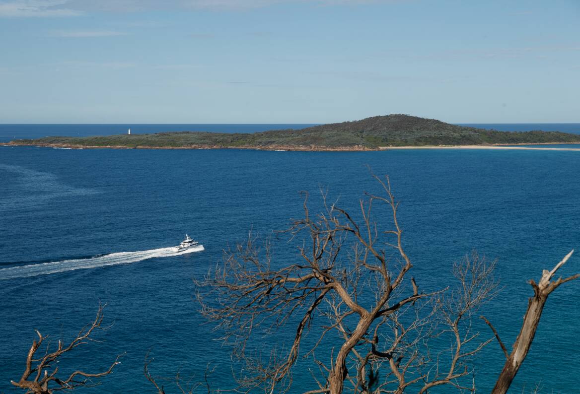
EROSION along Port Stephens' coastline due to extreme weather events and rising sea levels is going under the microscope.
Port Stephens Council has identified areas most under threat based on a list of "priority coastal hazards" - coastal erosion, tidal inundation, and coastal inundation caused by storm events and wind-blown sand.
Those have been mapped to track the potential level of damage forecast for 2040, 2070 and 2120.
Acting Mayor Giacomo Arnott said the community had concerns about the changing coastal environment and were already seeing and experiencing some of these changes.
The council was working to prepare communities and protect them from the impact of climate change now and into the future as part of its Coastal Management Program, Mr Arnott said.
Strategy and Environment Section Manager Brock Lamont said the council was now moving into the third stage of the program, which involved inviting the community to have a say and provide feedback and consider options to manage the identified hazards and threats.
"We'll be holding four drop-in sessions in May where the community can meet with Council staff and coastal specialists to learn more about the coastal hazards and look over the key management areas to see what's involved," Mr Lamont said. "We want to understand what's important to the community and integrate this into Council's priorities and response to the increasing coastal hazards."
Face-to-face drop-in sessions will be held on May 3 and 4 at Nelson Bay, Anna Bay, Williamtown and Tanilba Bay, as well as online.
There will be more sessions in June to discuss and identify potential strategies, and a survey between June 7 to 28.
The community's input would be fed back to the council to inform the draft Coastal Management Program, Mr Lamont said.
The draft plan is expected to be made available for comment during a formal public exhibition period in 2024.
To read more or to register your interest to get involved and have your say visit pscouncil.info/cmp
WHAT DO YOU THINK? Join the discussion in the comment section below.
Find out how to register or become a subscriber here.
.jpg?w=600)