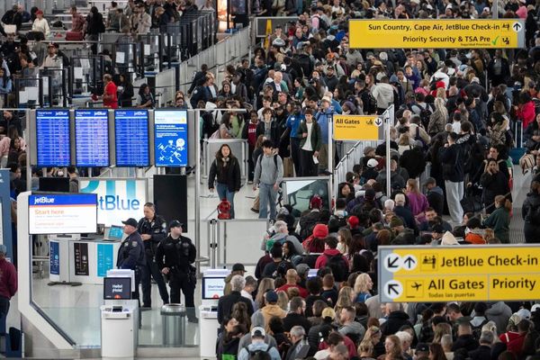
The fuel shortage is causing difficulty for drivers up and down the UK.
Long queues have been seen as a result of the crisis and panic buying has only made the problem worse.
The shortage of HGV drivers is one of the main problems. In July, the Road Haulage Association estimated that there was a shortage of around 100,000 qualified HGV drivers.
British Army troops and Royal Air Force personnel have been brought in to help drive fuel tankers, but must be trained with extra safety qualifications to drive fuel tankers.

The government stated it would offer temporary visas for 5,000 HGV drivers. But according to reports by the BBC, the prime minister Boris Johnson said only 127 petrol tanker drivers from the EU have applied for the temporary visas intended to help tackle the petrol crisis.
The shortage, which is only slowly improving, means that some people are finding it tough to find fuel, or their nearest station has long queues.
So how can you get around this problem and make sure it isn't you queueing?
How can Google Maps help me find fuel?

So many of us will need fuel in the coming days and weeks, be it for getting to work or simply dropping the kids off at school.
But long queues are a nuisance due to some fuel shortages. However, Google Maps has a handy trick for helping us find the best place to go.
Simply search 'petrol station near me' and the app will give you several options.
You may want to use the website fuelGenie, which shows you the nearest station, the price of the fuel, as well as the type of fuel it has to offer.
Google Maps is available on our laptop or PC, but the app on either iPhone or Android is probably the easiest option
On your phone can change the map to traffic settings by pressing the diamond shaped icon which sits over a v-shaped chevron. Simply click the terrain tap if on laptop or PC.
For areas where there is no to little traffic, the road will glow green. Busier traffic will show up yellow, while clogs and queues will appear as red and dark brown.
If your nearest petrol station has a long line of red running alongside it, you might want to give it a miss an either find a different pump, or wait until the queue dies down.