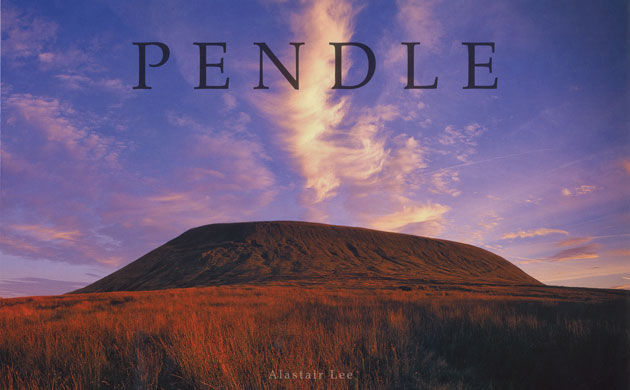
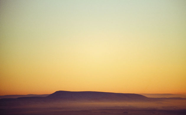
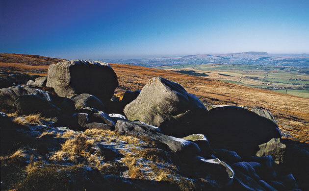
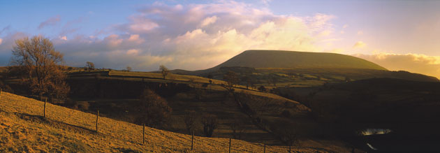
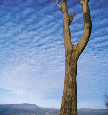
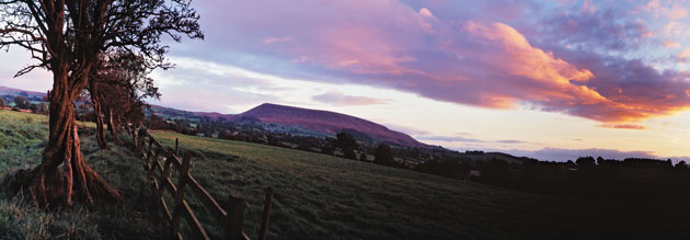
Pendle Hill in the north-east of Lancashire, peaks at 557 metres (1,827 ft) above sea level but still dominates the flat landscapePhotograph: Alastair LeeSleeping Pendle Hill lays at dusk, as seen form Pen-y-Gent, YorkshirePhotograph: Alastair LeeFrost covered gritstone boulders on the summit ridge of Boulsworth Hill, Pendle Hill looms large on the horizonPhotograph: Alastair Lee
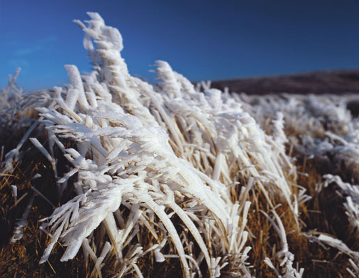
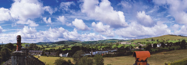
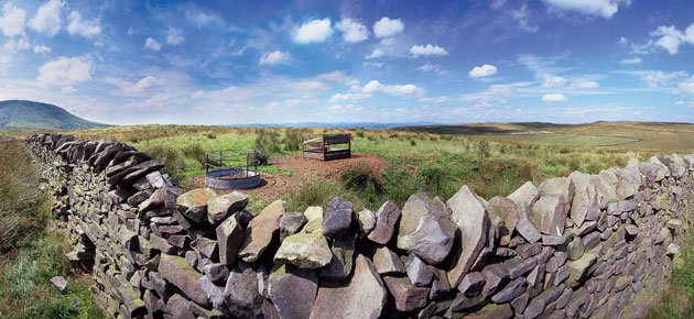
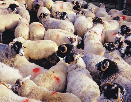
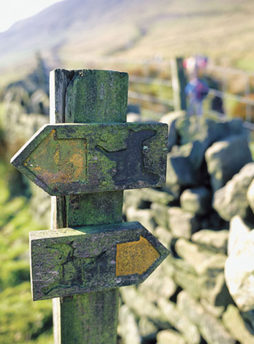
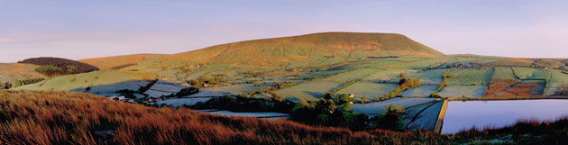
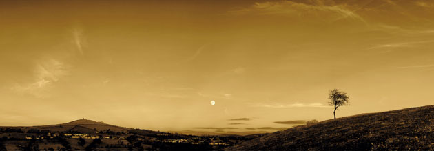
Four days of frost on the moorland grassPhotograph: Alastair LeeStorm clouds clear over Pendle Hill, as seen on route for Downham from NelsonPhotograph: Alastair LeeTaken from Alastair Lee's home in the village of Blacko Photograph: Alaistair LeeHigh ciro-cumulus flow over Nelson and Pendle Hill, taken from Marsden Golf Course, NelsonPhotograph: Alastair LeeCattle feeding stations and dry stone wall complete with sheep access hole, as seen on Twiston MoorPhotograph: Alastair LeeSheep from the farm at Pendle Hill's basePhotograph: Alastair LeeSign post for the Witch Way, a popular walk around the Pendle areaPhotograph: Alastair LeeFirst light on a dewy May morning sets the hill glowing over Barley and Black Moss reservoirsPhotograph: Alastair LeeTwisted hawthorne trees mark the boundaries for the Ribble Valley farmlands. Taken just off the Clitheroe bypass near GisburnPhotograph: Alaistair LeeBlacko Tower and a full moon, taken near RoughleePhotograph: Alaistair Lee
Sign up to read this article
Read news from 100’s of titles, curated specifically for you.