Snow in one part of NSW and potential fires in another.
That's the contrasting weekend forecast from the Bureau of Meteorology as school holidays begin.
A cold front is expected to drop snow down to 700m in southern parts of the state, while warmer conditions further north raise fire danger levels.
Acting NSW/ACT bureau manager Agata Imielska said it was quite common for spring to bring changeable conditions across the state.
"We're seeing that change from a bit of summer weather coming through and a bit of winter reminding us that we're not quite as far away from those wintry conditions," she told reporters on Friday.
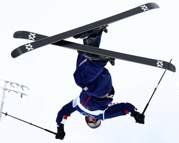
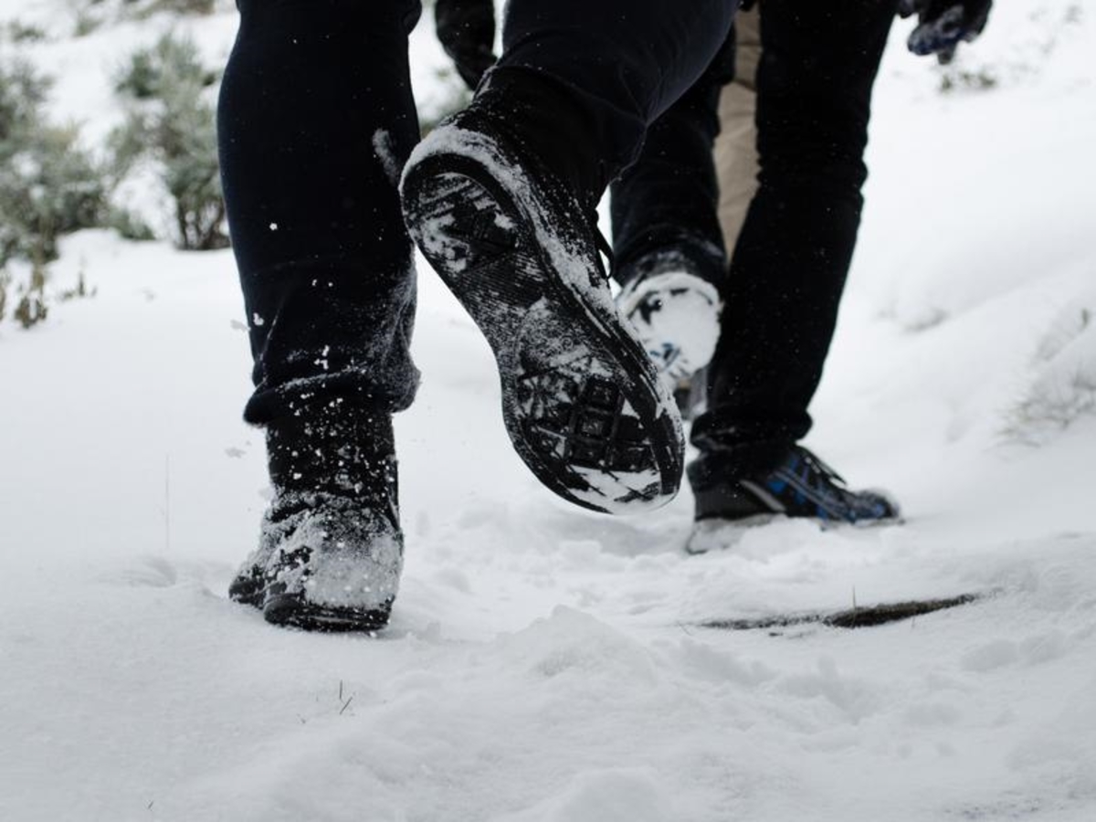
Up to 40cm of snow could fall in the alpine areas, stretching out the ski season.
There are potential white dustings on the cards for Canberra, Oberon, Orange, Crookwell and possibly around the Barrington Tops.
"We might see areas with snow settling and (people) waking up to that sort of winter wonderland," Ms Imielska said.
"But for the most part, they are quite lower accumulations."
Southern NSW could encounter possible thunderstorms on Friday.
The far north coast, meanwhile, is likely to have heightened fire danger fuelled by dry, warm and windy conditions.
Ms Imielska said temperatures in the area would drop as the front moves through overnight, but the heightened fire danger would linger into the weekend.
Sydneysiders won't be immune to the icy blast, with "deceptive" temperatures in the city on Saturday feeling about 10 degrees lower than forecast.
"We are expecting a top of 19 degrees, but it will actually feel more like eight or nine degrees," she said.
"Looking outside it will be quite sunny, but with that wind chill (and) dry air coming through will feel quite a bit cooler."
The mercury is tipped to warm up early next week, but the bureau is reminding motorists to take care, especially travelling on the Great Western Highway or into alpine regions.