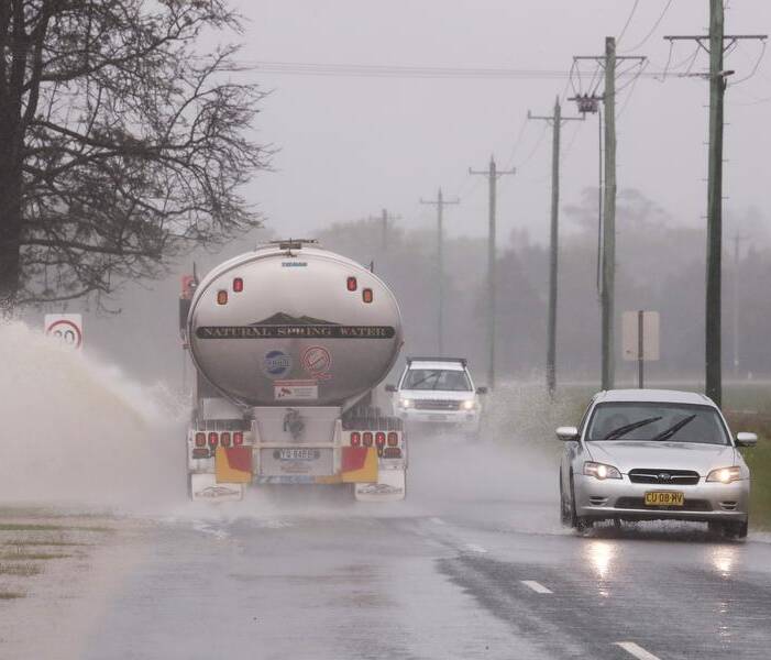
NSW emergency services are preparing for a "difficult summer", as multiple weather systems move across the state and days of heavy rain fall on already-saturated catchments.
A succession of three rainfall systems will bring downpours across large tracts of the country's east this week, with parts of NSW's inland regions already hit with showers and thunderstorms.
"It will be a difficult week but even more so a difficult summer and significant flooding is expected," Premier Dominic Perrottet told reporters on Wednesday.
"Our rivers and dams are full, that creates a significant risk of flooding that creates a risk to people's lives and properties," he said.
"There will be many challenges as we move through this period of time, but our focus is a government is to save lives, protect property, and our SES volunteers do an amazing job," Mr Perrottet said.
SES crews were working to prepare communities near swollen rivers and dams for the onslaught of rain to come later in the week, the premier said.
He urged people to avoid risks and follow SES instructions.
Assistant SES commissioner Sean Kearns said he was concerned about western and southwestern parts of the state as more rain falls on drenched catchments.
"This is going to impact communities that have already been impacted by floods over the last month or two," he told ABC TV on Wednesday.
"What we're going to see is significant amounts of rain, sometimes the monthly rainfall in just a couple of days, if not more."
There are particular concerns around the areas of Gunnedah, Wee Waa, Warren, Bathurst, Forbes, Gundagai, Tumut and Wagga Wagga.
The school holidays mean there are a lot of people travelling in areas they may not be familiar with.
"So really take heed of conditions, be very mindful about caravan parks and camping grounds, they're often next to rivers," Mr Kearns said.
He also warned racegoers heading to Mount Panorama for the Bathurst 1000 this weekend to take heed of the conditions and follow SES directions amid concerns the Macquarie River could be hit with moderate to major flooding.
The warning comes as NSW enters its third consecutive La Nina season.
Heavy falls and thunderstorms with a risk of flash flooding are expected in the western parts of the Riverina and Central West Slopes and Plains on Wednesday as a trough drags moisture across inland NSW.
A severe warning for heavy rainfall covers a large part of the state's west, from Nyngan in the central north to Deniliquin near the Victorian border through to Broken Hill in the central west.
Inland towns on flood watch include Deniliquin, Griffith, Hay, Tibooburra, Cobar, Bourke, Broken Hill, Wentworth and Brewarrina.
Hazardous surf and swell are expected on the Macquarie, Hunter, Sydney, Illawarra, Batemans and Eden coasts on Wednesday.
A second trough will bring storms, rain and bursts of heavy falls from Queensland to southern Victoria from Thursday night and into Friday.
Finally, a third rainfall system will sweep across southern Queensland, NSW and eastern Victoria on Saturday and Sunday.
Flood warnings are current across numerous inland catchments including the Namoi, Macquarie, Bogan, Lachlan, Murrumbidgee, Murray, Edward, Culgoa, Birrie, Bokhara, Warrego, Paroo, Barwon, Darling and Snowy rivers.
A flood watch has also been issued for rivers closer to the coast, including the Hunter, Hawkesbury and Colo rivers, and Wollombi Brook, with rises expected over the weekend.
Australian Associated Press