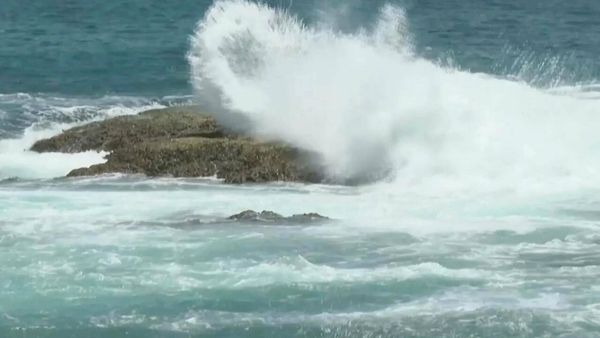
The West Coast will have an active end to the week in terms of weather, and AccuWeather forecasters say that the upcoming rounds of rain and mountain snow will follow a more “traditional” storm track compared to what the precedent has been in recent months.
Parades of storms have frequently tracked into Central and Southern California this past winter, bringing record-breaking snowfall to the Sierra Nevada and neighboring ranges across the state. Even cities across the southern tier of the Golden State, such as Los Angeles, recorded rainfall amounts in March that totaled approximately 430% of the monthly historical average.
The pattern of storms pushing into California has played an imperative role in improving the current drought situation. Roughly 55% of California is no longer facing any level of drought, while three months ago, every county in the state was facing at least some degree of drought, according to the U.S. Drought Monitor.
“Coming out of a historical winter season across much of California, drought conditions, both in coverage and severity, have decreased significantly,” explained AccuWeather Meteorologist Brandon Buckingham.
Through the weekend, rounds of storms advancing into the West Coast will focus across the Northwest states, where pockets of exceptional drought remain, rather than moving inland over California.

Dry conditions have gripped areas along the eastern slopes of the Cascade range, with the worst of the dryness concerns focusing on central Oregon. Forecasters say that any storms that sweep through Washington and Oregon in the coming days may bring beneficial moisture to the region and help to mitigate levels of drought.
A broad dip in the jet stream across the Western U.S. through the late week will help usher in storms to the Northwest coast. An initial push of moisture is set to arrive late Wednesday across Washington, Oregon and Northern California as a warm front slowly makes its way to the coast.
On Thursday, a cold front will move onshore and bring steady coastal rain with mountain snow to the Cascades, Klamath Mountains, northern Sierra Nevada range and parts of the Rocky Mountains in Oregon and Idaho. Any measurable snowfall is expected to be limited to the higher levels of the Cascades and Rockies, with snow levels falling to around 5,000-6,000 feet in Northern California.
In major Northwest cities such as Portland and Seattle, the wet pattern will continue for much of the holiday once the rain arrives Wednesday afternoon and evening.
According to observations from the last 10 years, Seattle has recorded at least a trace of precipitation on the Easter holiday around 30% of the time. This Sunday is likely to prove to be a damp day for Easter egg hunts, with showers in the forecast.

Many locations spanning from Northwestern California to western Washington will face a similar outcome at the end of the weekend, including Portland and Salem, Oregon. However, some spots across southern Oregon and Northwest California may see a momentary break in the rain Saturday into early Sunday before another frontal boundary pushes onshore.
Early next week, cooler conditions can begin to filter across the Northwest, and daytime temperatures may drop between 5-15 degrees Fahrenheit lower than late this week. Cities like Portland and Medford, Oregon, may fall into the upper 40s by the middle of next week, roughly 10–15 degrees below the historical average for this time in April.
In the higher elevations, falling temperatures early next week will allow for additional snow potential across portions of the Cascades and northern Rockies.
Produced in association with AccuWeather