Almost a third of the Netherlands sits at or below sea level. Yet instead of losing land to the water, the Dutch have spent hundreds of years doing the opposite, turning water into land they can actually live on. They do this using dikes, windmills, pumps and specially built plots of land called polders. Over the centuries, this system has helped reclaim thousands of square kilometres from seas, lakes and marshes. None of this happened quickly or by accident. It came together slowly, often after floods forced people to rethink how they were living so close to water. Today, the Netherlands is one of the best examples anywhere of what good engineering can do to a country's landscape over time.
Get breaking news anytime, anywhere. Download the TOI app now!
Polder meaning and how Dutch polders work
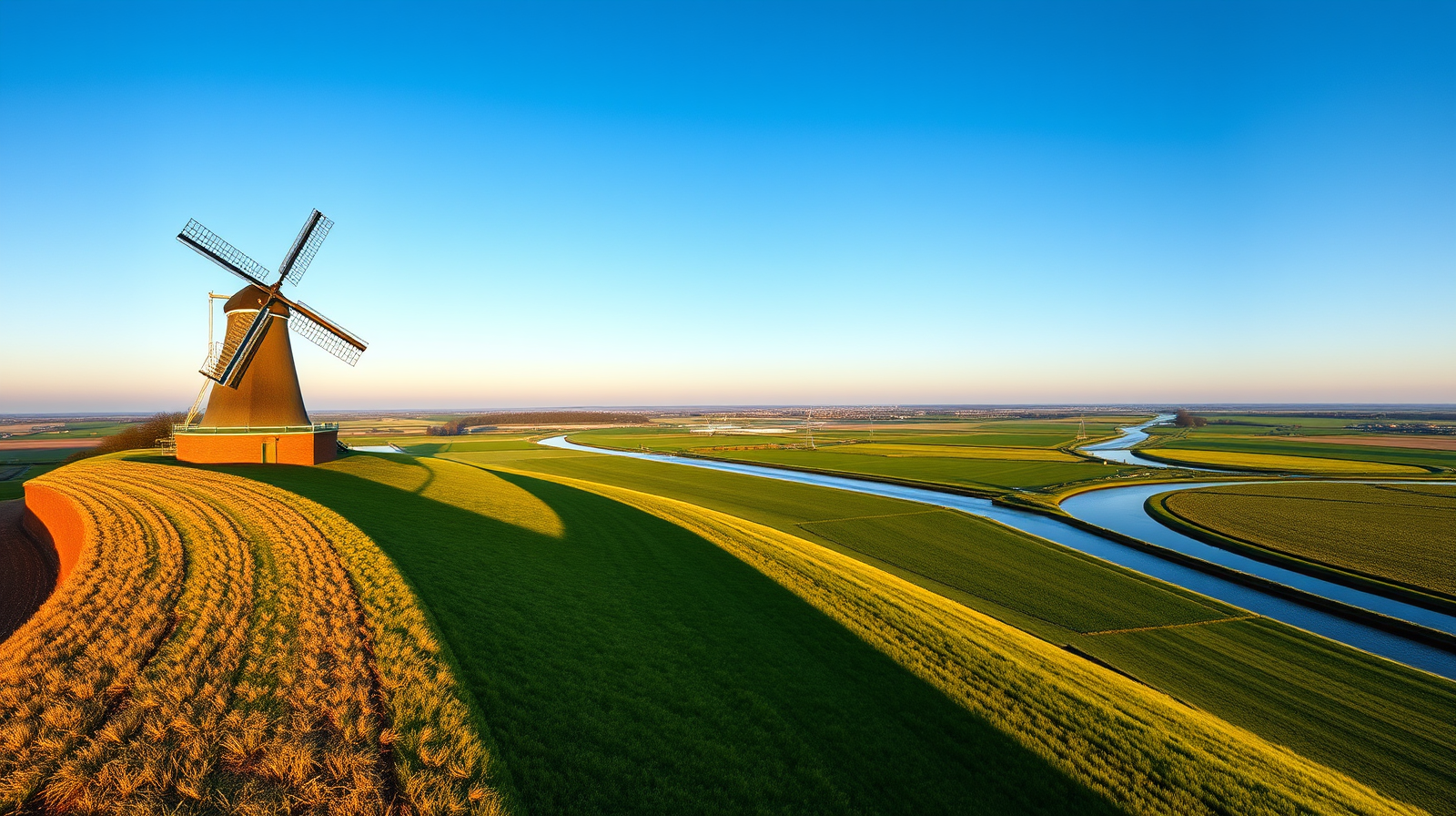
A polder is basically a low piece of land that sits behind dikes, where the water level is kept under control through drainage instead of just letting gravity do the work. Once a dike goes up around an area, the water trapped inside gets pumped out bit by bit, first by windmills and now mostly by electric pumping stations, until the land is dry enough to build on or farm. But the job never really finishes. Rain, groundwater and river flow keep seeping back in, so a polder needs someone watching over it all the time. Without that upkeep, the land would simply flood again.
History of Dutch dikes and water boards
The earliest attempts to hold back water in the Netherlands go back more than a thousand years, when small farming villages built basic mud and earth dikes just to protect their fields. As these projects got bigger and more complicated, farmers started organising themselves into what became known as water boards, groups responsible for keeping dikes in shape, managing water levels and running local drainage. These boards raised their own money through local taxes and worked separately from the rest of the government, and remarkably, this same system still runs today. It is considered one of the oldest democratic setups still in use anywhere in the world.
Windmills and Dutch land reclamation history
Things changed a lot by the sixteenth and seventeenth centuries once windmill powered pumps came into the picture. Suddenly it was possible to drain shallow lakes and soggy peat marshes much faster than before, which is how many of the country's most famous polders came to be. Reclamation stopped being a small, local farming job and turned into something much bigger and more organised, backed by growing wealth and a population that badly needed more land to live and grow food on. But there was a catch. Drained peat soil slowly sinks over time, in some places by several metres, so newly reclaimed land often needed constant pumping just to stay above the water around it.
The Zuiderzee project and the Afsluitdijk dam
One of the biggest chapters in Dutch water history began after a terrible flood hit the Zuiderzee area in 1916, killing people, wrecking homes and ruining farmland. That disaster is what finally pushed the government to go ahead with a plan engineer Cornelis Lely had proposed years earlier, sealing off the Zuiderzee completely from the North Sea. Work on the Afsluitdijk, a roughly 32 kilometre dike linking North Holland and Friesland, started in the late 1920s and wrapped up in 1932, turning the once salty Zuiderzee into the freshwater lake now called the IJsselmeer. According to Rijkswaterstaat , the government body in charge of the country's water and infrastructure, this same period also saw a lot of investment go into canals, roads and job creation, especially during the tough economic years of the 1930s. Once the dam was finished, several new polders were drained inside what used to be open sea, eventually forming the province of Flevoland.
Why land subsidence still affects Dutch polders
Even after all these centuries of experience, Dutch polders are still dealing with one stubborn problem, sinking ground. A peer reviewed study published in the journal Irrigation and Drainage found that peat based polders have sunk by as much as five metres in some spots, and this sinking is still happening today, while clay based polders tend to settle mostly within the first few decades after being reclaimed. This basically means a lot of polder land sits lower than the water right next to it, so pumping and monitoring are not optional extras, they are simply part of daily life there. Researchers working on this problem say understanding how and where the ground is sinking matters a lot for planning future drainage and building projects.