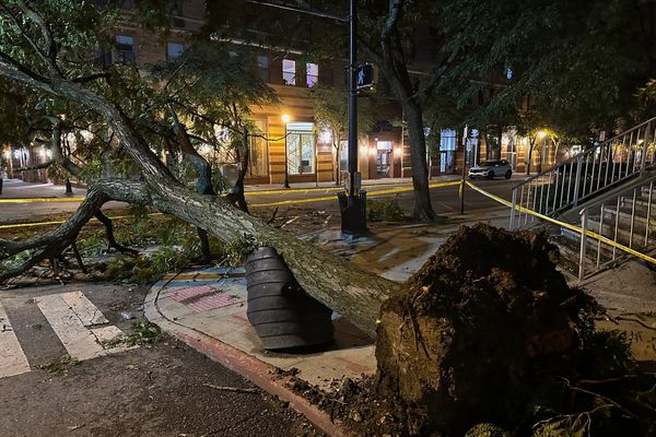
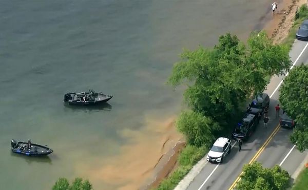
The risks of hurricane-caused wind damage will grow along the East and Gulf coasts over the next 30 years and expand into inland areas previously thought to be out of reach for most of these storms, new research finds.
Why it matters: How hurricane-related wind damage risks are priced into insurance policies and whether they are disclosed to prospective home buyers has major implications for the real estate and insurance industries.
The big picture: The report, from the nonprofit First Street Foundation, shows that risks to homeowners are currently underestimated because insurers and state agencies tend to base insurance rates on historical weather data that does not take the influence of climate change into account.
- The study uses a mix of historical trends and sophisticated computer modeling that has undergone peer review.
- The result is a property-specific and climate-adjusted hurricane wind model that calculates the likelihood of a property being exposed to and damaged from a hurricane's winds.
By the numbers: The researchers found that more than 13.4 million properties will be exposed to tropical storm force or greater wind risk in 30 years that are not currently.
- Property level damage estimates from hurricane winds are likely to rise from an annual loss of about $18.5 billion in 2023 to $19.9 billion in 2053.
Between the lines: The increasing exposure to such storms is tied to two key effects of global warming on nature's strongest storms.
- First, climate change is increasing the proportion of storms that reach major hurricane status of Category 3 or above. This has already been observed in some ocean basins.
- Second, over time, storm tracks are shifting farther north in some oceans, putting areas in the crosshairs that had been out of reach.
Zoom in: Florida faces outsized economic risks relative to the rest of the country and other Gulf Coastal states. It's projected to account for $14.3 billion of the nation's $19.9 billion annual losses in 2053.
- Researchers found a gradual northward shift in the riskiest areas in the state, with gains in Jacksonville and even West Palm Beach and a slight decrease in danger for Miami.
- The Mid-Atlantic would see the largest increase in maximum wind speeds. The Northeast would see annual wind damages increase by 87% between now and 2053.
The intrigue: First Street's wind factor model, which is freely available to the public, shows a "drastic" inland push in the percentage of properties at risk of hurricane wind damage during the next 30 years since stronger storms can maintain their intensity over greater distances once they come ashore.
- This has implications for resilience planning in inland Georgia, South Carolina, Virginia, Arkansas and large parts of Texas, for example.
What they're saying: "I think the strength for this application is that it’s giving you a much better idea of current risks than historical statistics do simply because the historical statistics have changed already," climate scientist Kerry Emanuel, who sits on First Street's Board, told Axios.
- Emanuel has extensively studied hurricane activity, including through computer simulations.
Yes, but: The report’s conclusions are only as accurate as the climate models used to help spin up the simulated hurricanes.
- One reason to have more confidence in the modeling, Emanuel said, is that simulations tend to have increased uncertainty only once you get beyond the next three decades.