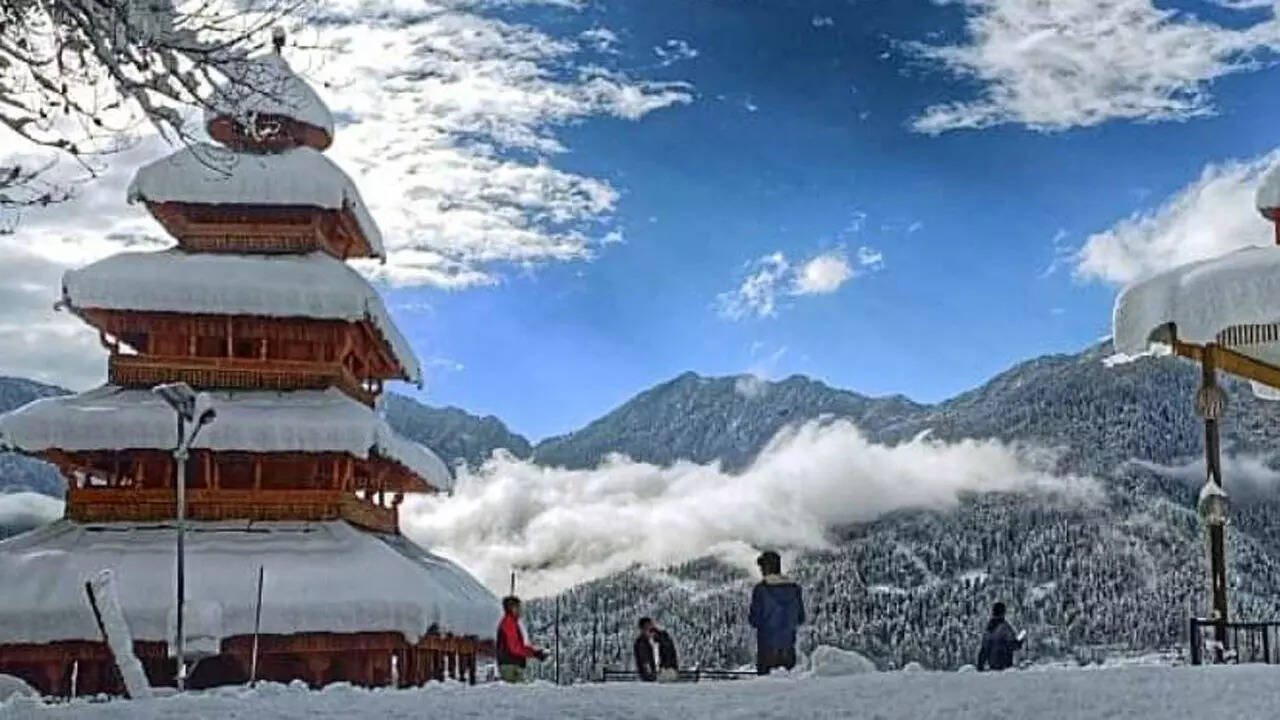
MANALI: The mid and high hills of Himachal are expected to get more snow in the next few days as a fresh wave of western disturbance (WD) is hitting the state from Sunday onwards.
A WD will hit Himachal on Sunday while another WD will bring clouds to the state from Tuesday onwards.
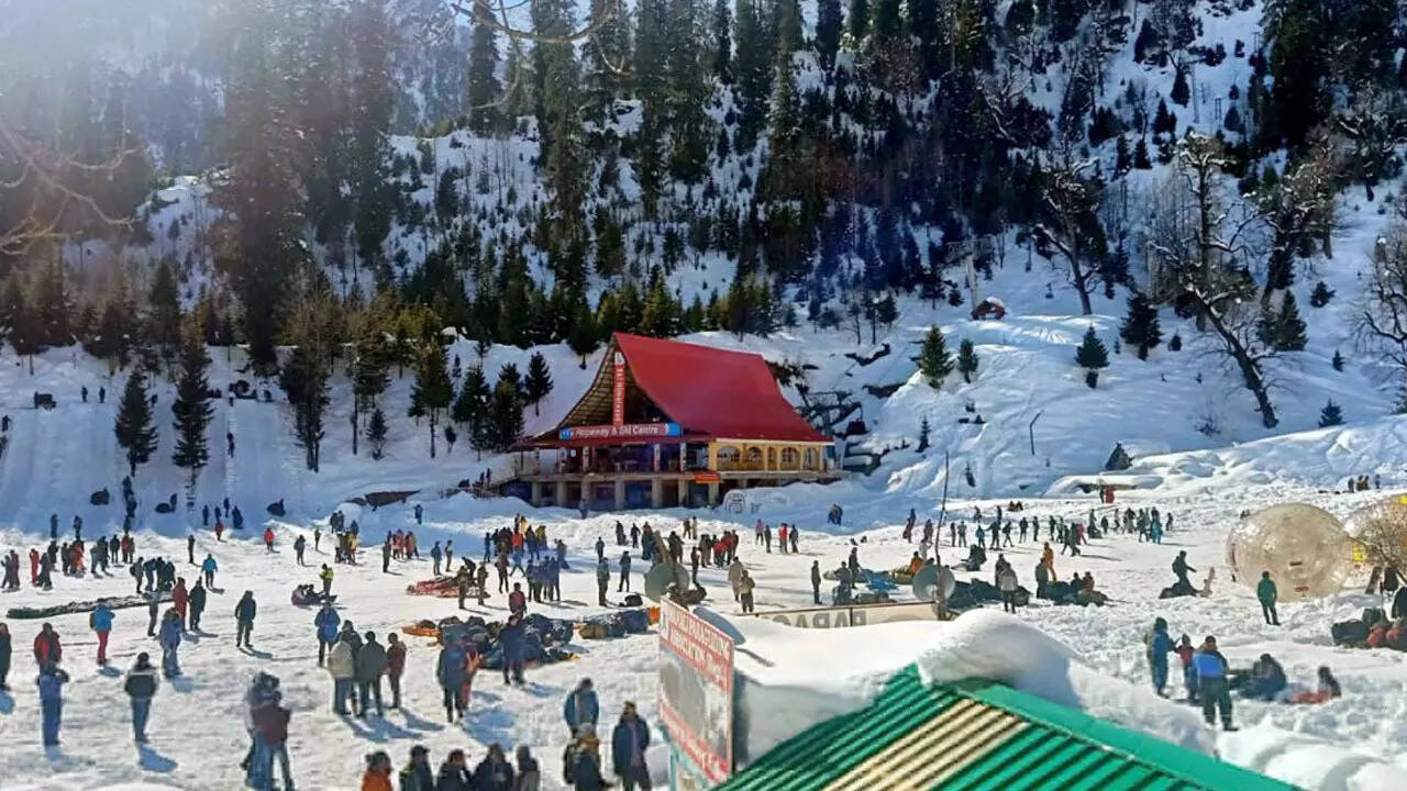
Parts of the state may experience snowfall and rain from Sunday.
According to the meteorological department, there is no high alert so far, but low temperatures will continue to keep the people indoors.
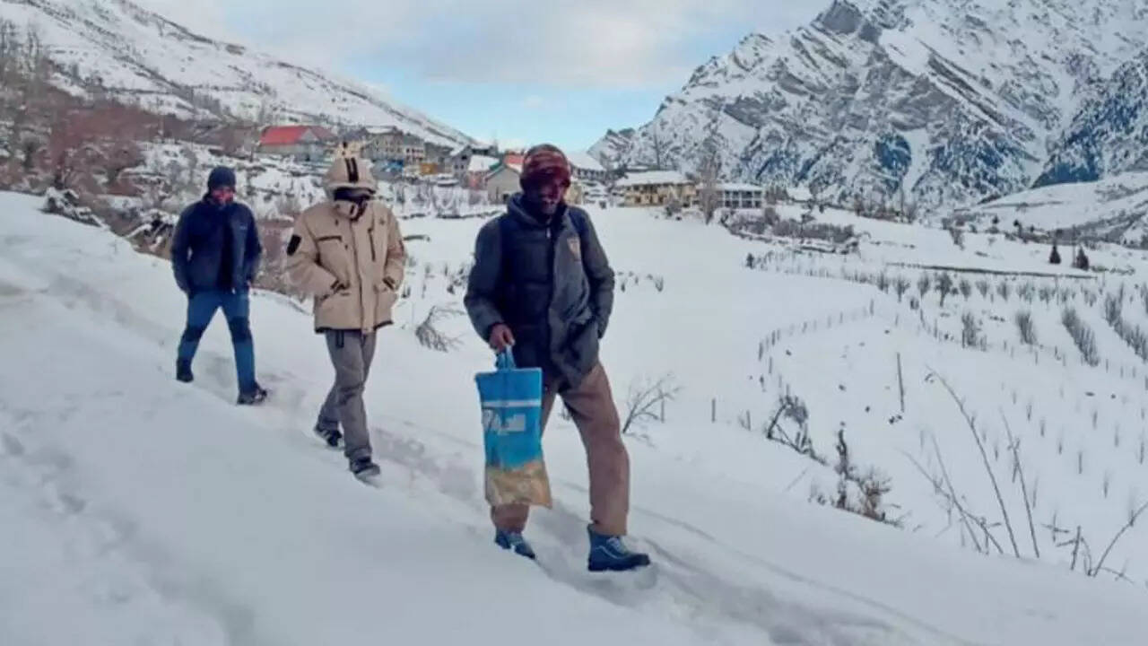
The night temperature in most parts of Lahaul-Spiti, Kullu, Kinnaur, Shimla, Chamba and Mandi has continued to be below the freezing point.
Keylong in Lahaul-Spiti district recorded the minimum temperature of minus 13.1 degrees Celsius during the last 24 hours.
The temperature is below minus 20 degrees Celsius at Kibber, Hikkim, Langza, Komic, Losar, Kaza and many other parts of Lahaul-Spiti district.
With extreme cold at nights, the dense fog has become a problem in the lower parts of the state.
The state meteorological centre has issued a yellow alert for dense fog in the low hills and plains of the state on Saturday.
The centre has advised to keep the livestock indoors and warm and protect the crops from late blight and white rust.
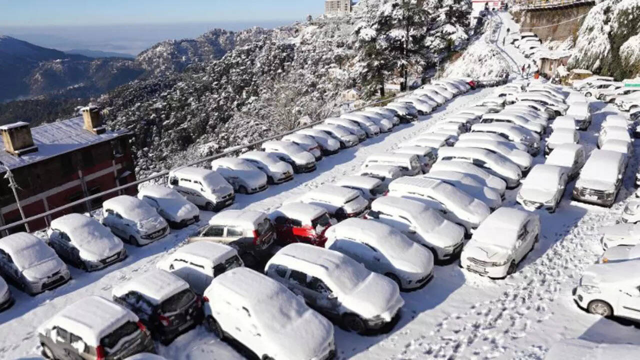
Meanwhile, 228 roads are still blocked with snow in Chamba, Kinnaur, Kullu, Lahaul-Spiti, Mandi and Shimla districts.
A hundred and eighty-nine power distribution transformers are still to be restored and 42 drinking water schemes are still lying defunct.
The Manali-Atal tunnel road has been opened only for local residents who are being allowed to go up to Sissu on their four-wheel-drive vehicles.
But tourists are being allowed only up to Nehru Kund beyond which the road is extremely slippery due to the deposit of the snow and ice.
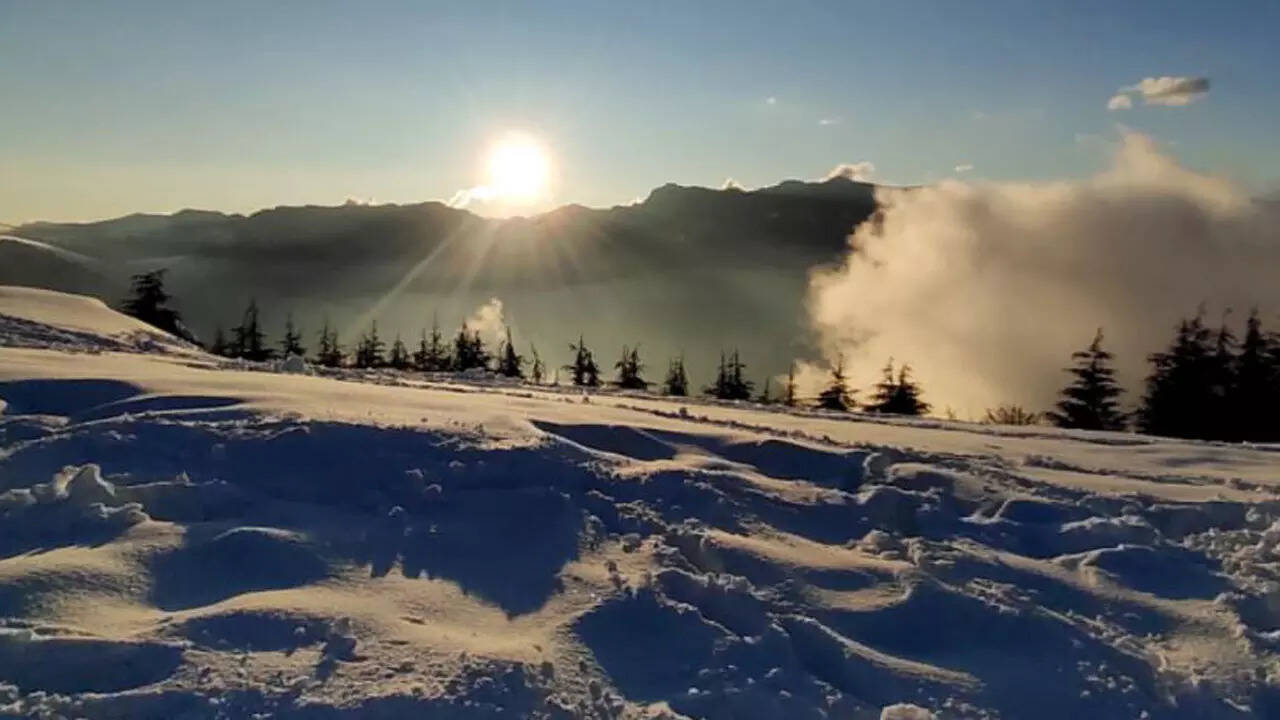
Avalanche threats still persist in the slopes in the upper areas that are covered with a thick layer of snow.