Slightly warmer weather is forecast for Canberra this week, but the Bureau of Meteorology says another cold front, expected on Wednesday, may result in lower than forecast temperatures.
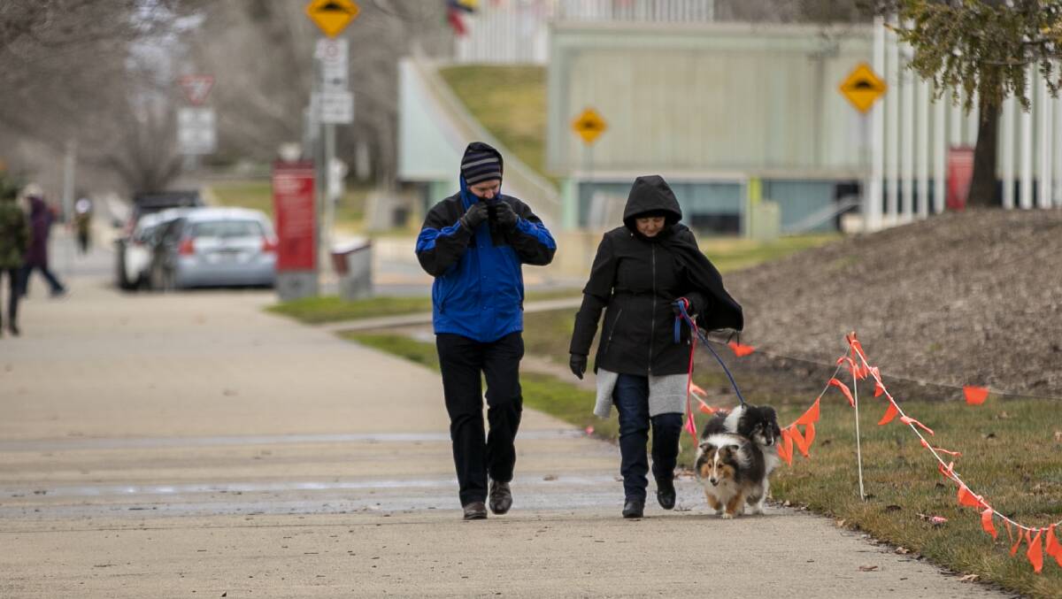
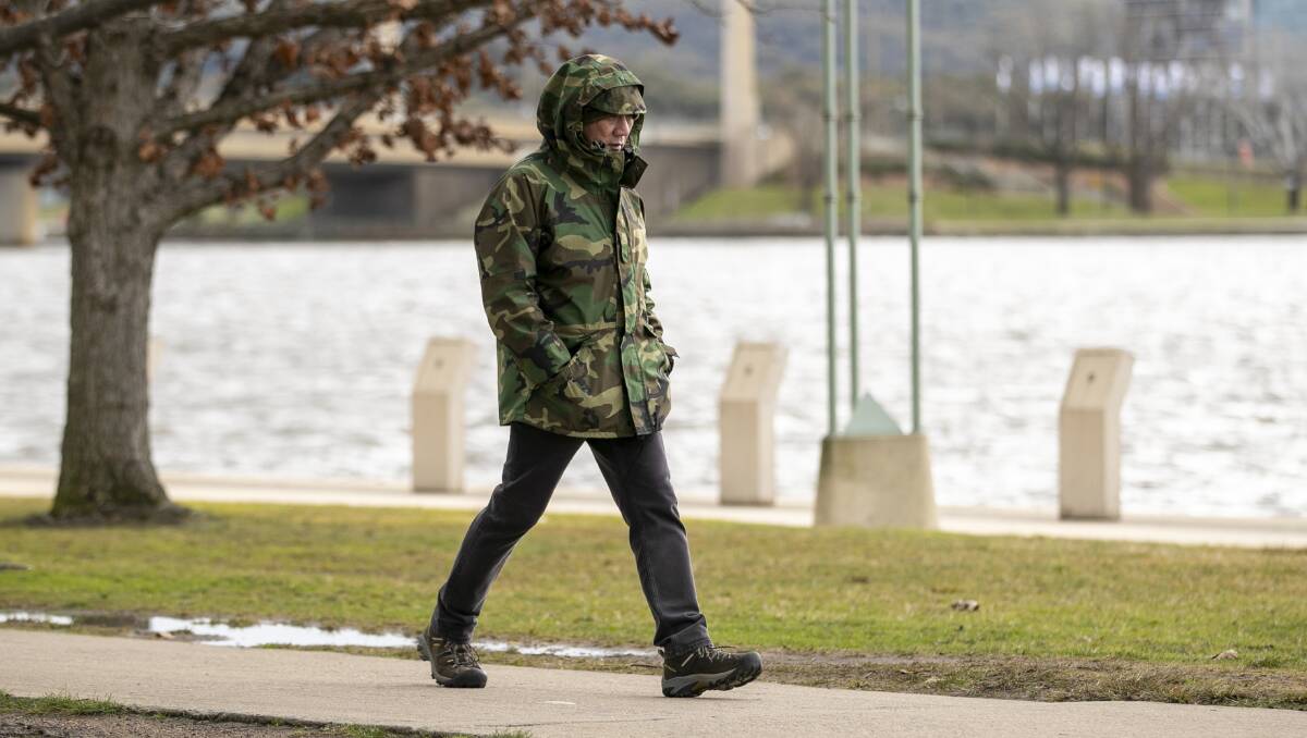
Canberrans who braved the outdoors on Sunday were met with freezing conditions.
While the temperature reached a top of 7 degrees at Canberra Airport shortly after midday, the apparent temperature was sitting below zero for most of the day, giving the day a freezing feel.
There was also snowfall on the Brindabellas and parts of Namadgi National Park on Sunday. It was the second weekend in a row where there was significant snowfall in parts of Canberra.
It came after Canberra copped a downpour on Saturday night, with more than 10mm of rain recorded.
Looks like it snowed overnight - view to the west from Conder in #Canberrapic.twitter.com/zGxzF3Fedg
— Alison from Conder (@chifley_alison) July 24, 2021
Rain is expected to ease on Monday and Tuesday, with only a shower or two forecast on both days. Up to 3 mm could fall on Monday.
The bureau has forecast a top of 12 degrees on Monday and 14 degrees on Tuesday.
Rain will pick up again on Wednesday as another cold front moves through, meteorologist Melody Sturm said.
"Monday and Tuesday we do see a slight shower but there's not really much of it," Ms Sturm said.
"The next system will move through on Wednesday and we'll see another cold front move through the area.
"Wednesday [is forecast] to be 13 [degrees] ... but you never know if it says its cloudy is could be a little bit lower than that it all depends on the showers."
Up to 6 mm of rain is forecast for Wednesday.
The rain is expected to ease towards the end of the week, but Ms Sturm said there was a high likelihood of overnight frost.
"With the cold front passing on Wednesday it does bring some colder air," she said.
"So with the cold air, especially in the morning on Thursday and Friday, you could see frosty mornings again."
At this stage, warmer weather is forecast for next weekend.
"On Saturday, definitely we could see a further increase in the rise of temperatures," Ms Sturm said.
"For now we have 16 degrees as a possibility."
The nation's capital is on track to record its coldest July since 2015. The average maximum daily temperature so far this month has been 11.5 degrees.
This is almost two degrees lower than last year's July average of 13.2 degrees.
The highest maximum daily temperature so far this month was 15.3 degrees - this was recorded on July 15.
The coldest day has been July 6, where the temperature only reached 6.3 degrees. This was Canberra's coldest day in 12 years, and it was also the coldest July day in 20 years.
Meanwhile, down at the snowfields there was 45 centimetres of fresh snow that fell in a 24-hour period at Perisher.
But there was strong winds that brought limited visibility.
Perisher's snow report for Sunday said: "There'll be wind blown stashes galore for those keen to brave the extreme weather we're experiencing today".