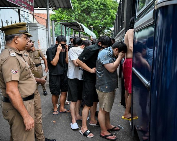
Townsville residents have been warned to be disaster-ready this summer after a spring "nearly four times wetter than average" has left catchments primed for flash flooding.
It was not the wettest spring for Townsville, but the Bureau of Meteorology confirmed some rain totals broke records.
"Townsville Airport had its wettest spring since the year 2000," meteorologist Livio Regano said.
"We had a total spring rainfall of 356 millimetres; compare that with the average spring rainfall of 95 millimetres.
"Nearly four times what you'd normally expect in the season."
The city experienced widespread flooding in 2019 with some areas getting more than 2,000mm of rain in 12 days.
Townsville residents could see their wettest summer since the one-in-100-year event.
"We've got an active La Niña, a strong one," Mr Regano said.
"We've got a lot of other climate drivers in alignment [such as] negative Indian Ocean Dipole, 40-day Madden-Julian Oscillation.
"A lot of things are loading the dice, very strongly, in favour of continued above-average rainfall through our wet season.
"[You can] expect more of the same."
The wet weather that had saturated catchments should not have come as a surprise to Townsville residents, Mr Regano said.
"We've been saying for nearly a year that it was going to be a wet spring and summer," he said.
"What it means is that normally springtime is a time when the catchments dry out in preparation for the summer rains.
"That way, it's less likely to flood because the soil can absorb the rainfall.
"It's dangerous when you have a wet spring as we have. If you get a lot of summer rain, as we're predicting, it means that it's much easier for rivers to flood."
Heatwave warning
The region will also be subject to heatwave conditions this week.
"It is going to get quite hot, nothing that Townsville is not used to," Mr Regano said.
"It'll affect mostly inland areas, probably more Charters Towers, for example, than Townsville but everywhere will feel the heat."
The Bureau of Meteorology warning said maximum temperatures would rise to the low to mid-40s with overnight minimum temperatures in the mid to high-20s.
Heatwave conditions are expected to intensify throughout the week.
North Queensland locations likely to be impacted include Hughenden and Mount Isa.