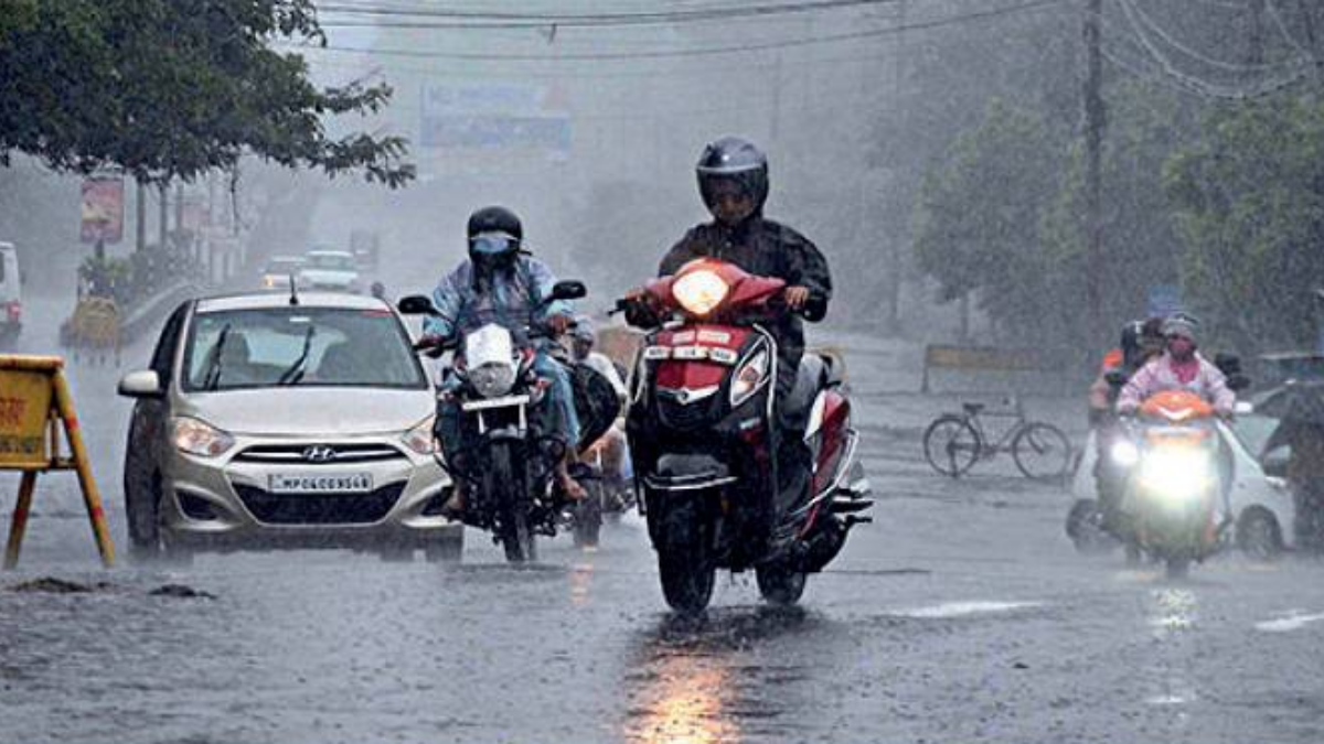
BHOPAL: Showers continued in Bhopal and other places of Madhya Pradesh on Friday.
The rainfall activity may further go up over several places in the state due to the multiple weather systems surrounding the state.
Officials of the meteorological department, Bhopal circle, said there is a well marked low pressure area with associated cyclonic circulation over Jharkhand and West Bengal. It would move towards Bihar and Uttar Pradesh in 48 hours. Monsoon trough is passing from Ganganagar and there is a low pressure area over UP, officials said, adding that the systems would continue to lead to wet spell in MP.
On Friday, the day temperature in Bhopal was recorded at 25.3 degree Celsius, four degrees less than normal, while night temperature was 23 degree Celsius, which was at the normal mark.
The places that recorded showers between 8.30am and 5.30pm in the day were Sheopurkalan, Pachmarhi, Chhindwara, Guna, Sagar, Ratlam, Jabalpur, Gwalior, Mandla, Hoshangabad, Rewa, Dhar, Indore, Damoh, Ujjain and Betul, while Khajuraho and Bhopal recorded traces of rain.
In the forecast for Saturday, the meteorological officials said there would be cloudy sky with rain in Bhopal. Day and night temperature in the city would be 26 degrees and 23 degree Celsius respectively while average wind speed will be 18 kmph.
In the forecast for state, meteorological officials issued warning of heavy to very heavy rain and lightning for places including Rewa, Gwalior, Shahdol and Chambal divisions and for Katni, Mandla, Balaghat, Panna, Chhatarpur, Tikamgarh, Niwari, Neemuch and Mandsaur districts.