
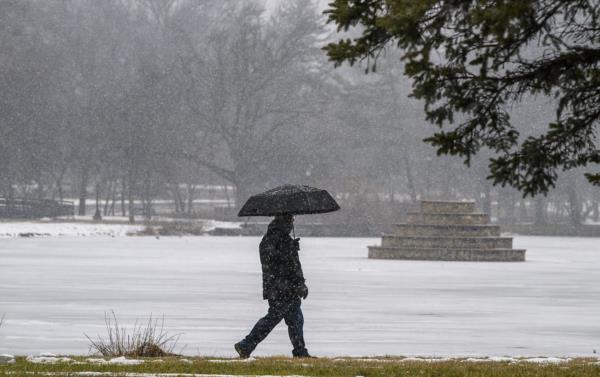
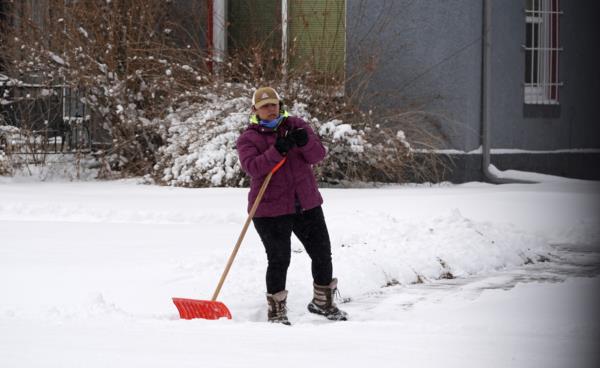
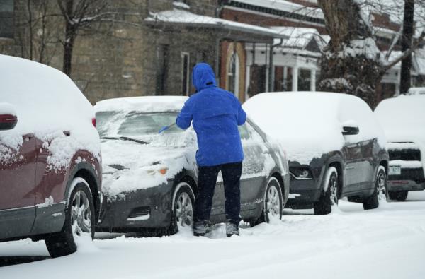
Residents from the Northern Plains to the East Coast are preparing for dangerously low temperatures and heavy snowfall as winter storm warnings blanket various regions.
The National Weather Service has issued warnings for the Mid-Atlantic and New England, with heavy lake-effect snow expected in western New York state. Up to 3 feet of snow could accumulate in some areas along Lake Ontario.
Meteorologists project that around 70 million residents will be under winter storm warnings in the coming days, with frigid temperatures sweeping across the Eastern Seaboard and the Northern Plains. Temperatures as low as minus 55 degrees Fahrenheit are forecasted in some areas, prompting safety warnings and travel advisories.


Minnesota residents are advised to take precautions, including wearing appropriate clothing and carrying survival kits for travel. Motorists are urged to maintain a full tank of gas and a charged cellphone for communication.
Washington, D.C., is expected to experience temperatures in the 20s with strong wind gusts, leading to the relocation of the upcoming presidential inauguration ceremony indoors.
The cold snap is attributed to a disruption in the polar vortex, causing the frigid air to move southward and eastward. The Central and Eastern U.S. will see temperatures in the teens and 20s, with wind chills below zero.
As the cold air extends into the South, approximately 30 million people could face a wintry mix of snow, sleet, and freezing rain from Texas to the Carolinas. Louisiana has declared a state of emergency in anticipation of severe weather conditions.
The storm system, combined with frigid air and a low-pressure system over the Gulf, is expected to bring heavy snow and icy conditions to several states, prompting officials to advise residents to stay informed and prepared.