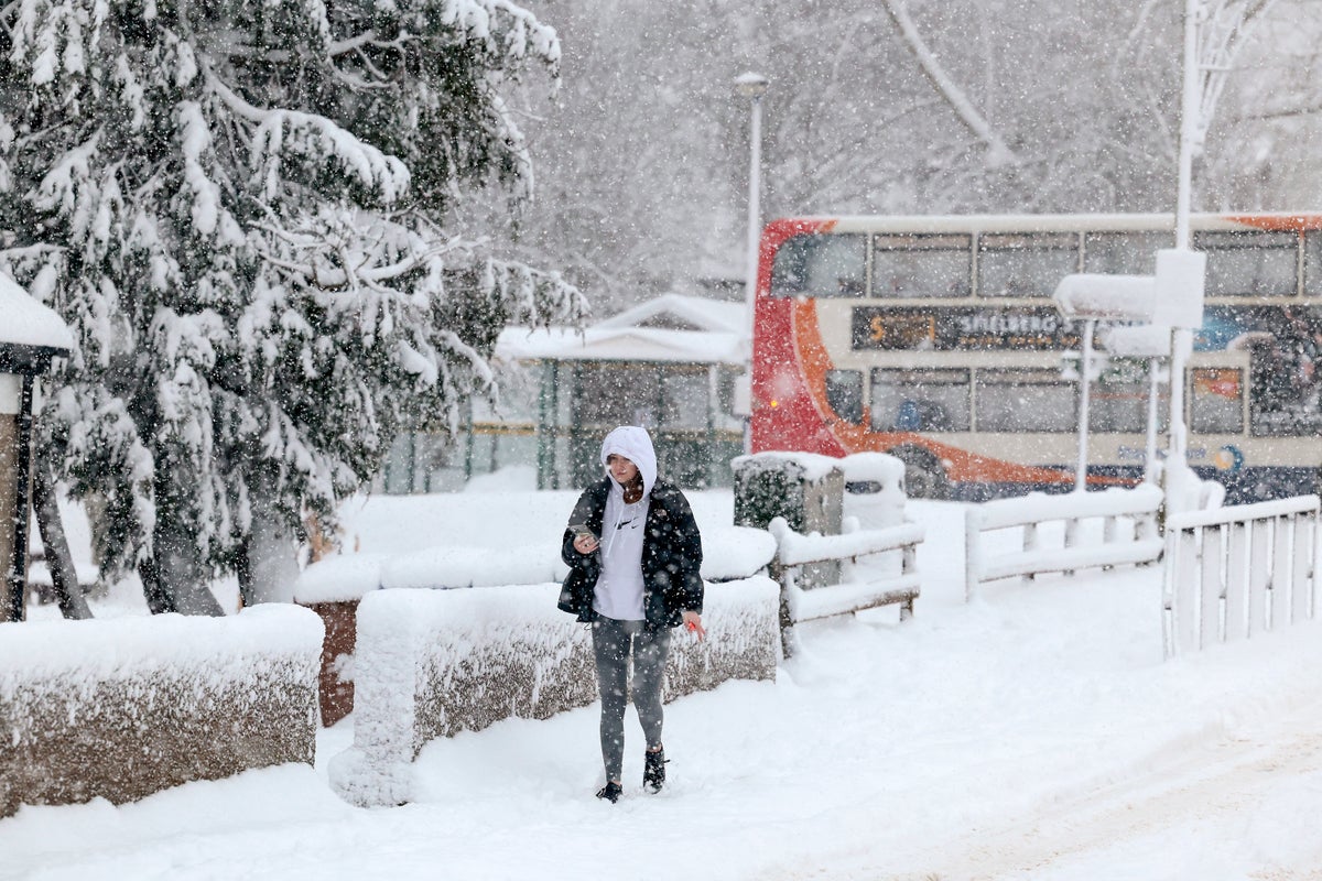
The Met Office has warned UK residents to brace themselves for an unexpected snowfall to hit within the week.
The weather experts have explained that a major change in climate is underway, as cold Arctic air moves in from the North, bringing snow, ice and low temperatures for many.
Experts believe this sudden drop in temperature is being caused by sudden stratospheric warming and could bring about similar freezing conditions to the Beast from the East, in 2018.
Warnings for snow and ice have been issued across Northeastern parts of the UK as well as some Northern Ireland and Southern and Central areas of England and Wales.
Further warnings are likely to be issued throughout the week.
Up to 30cm of snow is expected to fall in isolated spots across Scotland and an excess of 20cm of snow could build up over high ground. Patchy snow of 1 to 2cm could build up over much of Wales and parts of Central, Southern and Eastern England.
Icy roads will be an additional hazard throughout the week, with sub-zero temperatures creating hazardous travel conditions and severe disruptions.
The mercury could drop as low as -15°C overnight on Tuesday in some sheltered Scottish Glens, especially where there’s fresh snow cover.
The UK Health Security Agency has issued a Level 3 Cold Weather Alert for the whole of England which is likely to be reviewed in the coming days.
During Tuesday night and early Wednesday - the South of England is at a much greater risk of snowfall as mild air gradually moves in from the Southwest, but brings with it snow as it meets the cold air.
This risk of snow gradually spreads further North through the latter half of the week. Further warnings have been issued.
Met Office Deputy Chief Meteorologist Steven Keates said: “The impactful weather will continue through the second half of the week as mild air meets cold air with further snow, ice, wind and then rain likely later in the week and into the weekend.
“From Wednesday, the focus of further snow is across parts of southern England and south Wales, with snow likely to lower levels for a time, and many may wake up to a couple of centimetres of snow on Wednesday morning.”