The Met Office has expanded the zone of its yellow weather warning for tomorrow (September 9).
The alert was previously concentrated in the north of the country and the midlands, but now stretches into the South West and over Bristol.
The thunderstorm warning is in place from 10am until 8pm on Thursday.
Read more: Met Office live weather updates amid 34-hour thunderstorm warning
The city already has a yellow weather warning in place for today, with the Met Office forecasting thunderstorms for the region.
Today’s thunderstorm warning is in place from 11am until 9pm and the torrential downpours could see 30-50mm of rainfall in less than three hours in some areas.
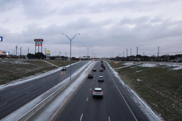
The turbulent weather today and tomorrow could cause difficulty for drivers, with potential road closures in place due to spray and sudden flooding.

There is also a “small chance” that homes and businesses could be flooded “quickly”, according to the Met Office.
The warning states there could be a possible damage to buildings from floodwater, lightning strikes, hail or strong winds
The mid-week thunderstorms will mark an end to the spike in the mercury at the beginning of September, which saw temperatures reaching towards 30C.
Today's storms already saw a lightning strike hit a primary school in Plymouth leading to staff and pupils being evacuated.
Check the weather forecast near you, powered by In Your Area:
South West forecast
Today:
A cloudy morning for most with showers, mainly across the southwest peninsula. By late morning the showers will become more frequent and heavier, giving some thundery downpours. Drier, sunnier and still very warm in the far northeast. Breezy. Maximum temperature 27 °C.
Tonight:
Staying quite cloudy and mild overnight with further showers pushing northwards across the southwest. Showers may be heavy and thundery at times. Minimum temperature 16 °C.
Thursday:
A mixture of sunshine and showers on Thursday with showers heavy at times and, again, bringing the risk of some thundery downpours during the afternoon. Maximum temperature 24 °C.
Outlook for Friday to Sunday:
Friday unsettled with further showers, potentially heavy, throughout the day. Conditions improving from the south and west late in the day, leading to a generally fine and dry weekend.