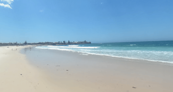
Cooler weather will replace the UK's recent heatwave after a week of 30C temperatures.
Forecasters said the unsettled weather looks set to continue early next week, with more persistent rain expected for much of the UK.
A Met Office amber warning for extreme heat had been in place for England until midnight on Thursday.
READ MORE: Met Office issues crushing update about August heatwave
The country reached its hottest temperature of the year on Tuesday when 32.2C was recorded at Heathrow Airport in west London.
The Met Office forecast for the North West said: "[Today] is a dry start with plenty of early sunshine. Patchy cloud develops through the day, still allowing sunny spells to develop, but also bringing a risk of a few heavy showers.
"Late spells of sunshine for most as showers quickly ease into the evening.
"Dry overnight with clear spells, lengthiest across the north, allowing a few fog patches to form there.
"Starting off-dry on Tuesday, with fog soon clearing.
"Widespread and often heavy showers developing through the day, with a risk of hail and thunder. Cloudier and cooler than Monday.
"Further heavy and possibly thundery showers on Wednesday. Fewer showers on Thursday and Friday, though some still heavy. Cooler throughout and rather windy at times."
BBC added: "[For today] any early cloud or patchy mist will quickly melt away and it will turn quite sunny.
"It will be a warm and sunny day, but some afternoon showers will develop in places. These will be locally heavy.
"Tomorrow will be a much more unsettled day. The morning will be cloudy with some spells of rain in places. The afternoon will see a mix of some sunshine and heavy, thundery showers.
"Wednesday will remain very unsettled with low pressure centred to the north.
"There will be sunny spells, but frequent heavy showers will develop through the day with rumbles of thunder likely.
"Thursday could turn quite breezy with a mix of sunny spells and scattered heavy showers. Staying very breezy on Friday, but it should be less showery."