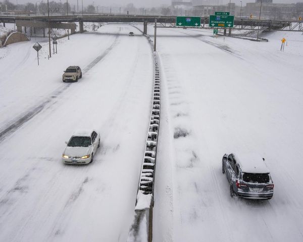
Heavy falls of snow are expected today and tomorrow across Ireland with multiple warnings already in place.
Met Eireann are forecasting accumulations of the white stuff in parts of the country with temperatures dipping as low as -4C on Saturday night.
A status yellow snow and ice warning is already in effect for Cavan, Monaghan, Donegal, Leitrim, Mayo, Roscommon and Sligo until midday today.
A second warning for the entire country will begin at 6pm this evening and last until midday on Sunday.
Falls of sleet and snow are expected to be heavy in parts of the country with hazardous driving conditions nationwide.
A Met Eireann forecaster said: "Very cold this morning with frost and ice. Wintry showers of hail, sleet and snow continuing in the north and northwest this morning. Showers isolated elsewhere with many areas staying dry for most of the day with good spells of sunshine.
"However rain, sleet and snow will move into the southwest and west later this afternoon, extending eastwards. Westerly breezes will be light, backing south in the evening. Highest temperatures of 2 to 5 degrees.

"Tonight sleet and snow will cross the country eastwards leading to some accumulations. Another very cold night with frost and ice forming in the clearance. Lowest temperatures of -4 to 0 degrees, coldest over Ulster where it will be clearest. Light southeast or variable winds."
And the snow will stick around for tomorrow too with the many parts of the country waking up to a significant dusting of the stuff.
The forecaster added: "Sleet and slow will continue to fall in parts of Leinster and Ulster, heavy at times with further accumulations. It will slowly brighten up elsewhere with scattered showers of rain, hail, sleet and snow following from the west.
"A very cold day with temperatures slowly rising to 1 to 4 degrees in the afternoon. Moderate westerly winds, fresh at times on coasts.
"Cold with a widespread frost and icy patches forming early in the night. Wintry showers of sleet or snow with clear spells, showers mainly in the west and north with a lot of dry weather in the east and south.
"Lowest temperatures of 0 to -3 degrees. Some fog will form in light to moderate westerly winds, although winds will be fresh and gusty on northwest coasts."