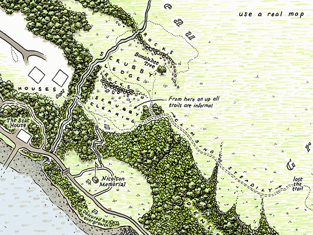
Photograph: J. Maizlish Mole, 2012/Commissioned by ATLAS Arts and Portree Community Trust

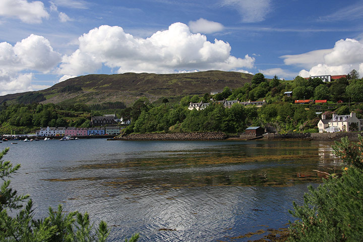
Photograph: J. Maizlish Mole, 2012/Commissioned by ATLAS Arts and Portree Community Trust


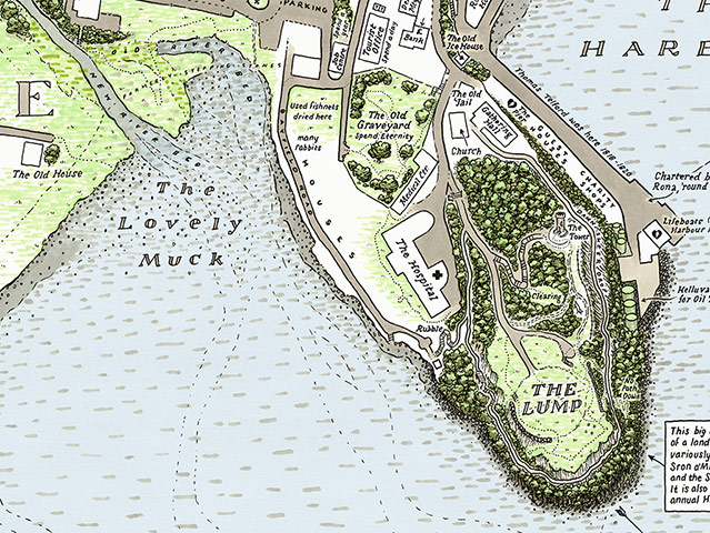
Photograph: J Maizlish Mole, 2012/Commissioned by ATLAS Arts and Portree Community Trust