MIAMI _ Powerful waves and storm surge from Hurricane Matthew frayed huge swaths of Florida's coastline, cutting a new inlet near St. Augustine, washing away parts of State Road A1A and gobbling up 15 percent of the state's dunes, a preliminary review by the U.S. Geological Survey has found.
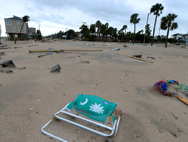
Further up the coast, damage was more severe: Georgia lost a third of its coastal dunes. In South Carolina, 42 percent of the state's dunes vanished.
The aerial survey, released Monday, is part of a wider monitoring effort by the agency to better predict potential damage from hurricanes. Just before Matthew arrived earlier this month, USGS hurricane response teams rushed to install 300 sensors capable of measuring storm surge and tides on bridges, piers and other locations expected to survive a pounding from Matthew.
The information helps distinguish the difference between wind-generated damage and damage from floods by tracking the depth and duration of flooding, along with the timing of the events.
Matthew grew from a tropical storm into a monster Category 5 hurricane Sept. 30 as it pushed across the Caribbean and slammed southwest Haiti, where between 500 and at least 1,000 people died. With forecasts calling for the powerful storm to track perilously close to the Florida coast, emergency managers prepared for massive damage. Evacuation orders were given for about 1.5 million Floridians.
Between Oct. 6 and 9, the storm skirted up the coast, churning up storm surge and pounding waves. South Florida lucked out after the storm wobbled near Andros Island in the Bahamas when its eye wall shifted, steering the storm to the east. But as it continued north, Matthew drifted just 40 to 45 miles offshore, with hurricane winds extending about 60 miles from the storm's center and tropical storm force winds reaching out 185 miles.
At Stuart, pounding waves washed away sand to reveal ancient outcroppings of old rock and shell deposits, USGS aerial pictures show. Further north at Cape Canaveral, waves pushed the sand up and over the dunes and carried it inland.
The most dramatic damage occurred in North Florida. Despite armoring to protect it from storm surge, parts of A1A in Flagler Beach washed away, along with a 17-foot dune, the survey reported. Near St. Augustine, the storm carved a new inlet from the ocean to the Matanzas River, wiping out a 12-foot dune. At Vilano Beach, north of the historic town, the storm washed away a 16-foot dune and destroyed boardwalks and decks.
Altogether, the storm overtopped 53 miles of dunes, that natural barrier that acts as the coast's first line of defense.
"High altitude images give us a big picture view of the coastline, and that's very helpful to identify large areas of over-wash, but we can't see the dunes in those images," USGS oceanographer Joseph Long said in a statement. The closer images, he said, help identify exactly what damage occurred and how the storm altered the "protective barrier."
By predicting coastal erosion, the USGS can better help emergency managers prepare. On Friday, they began a monthlong survey of the coast using laser lights that give them submerged elevations and will help them estimate how much sand Matthew moved. That information can then be used to predict erosion in future storms.