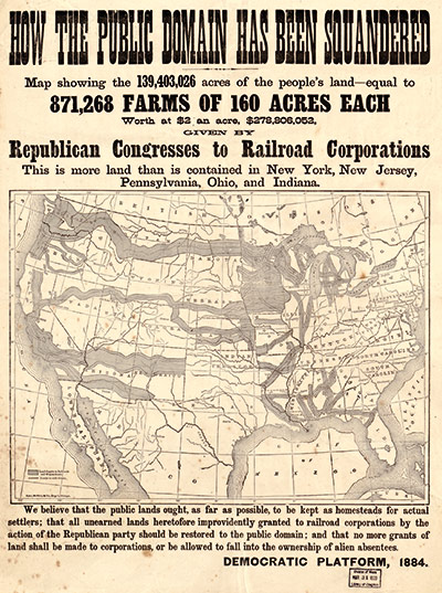
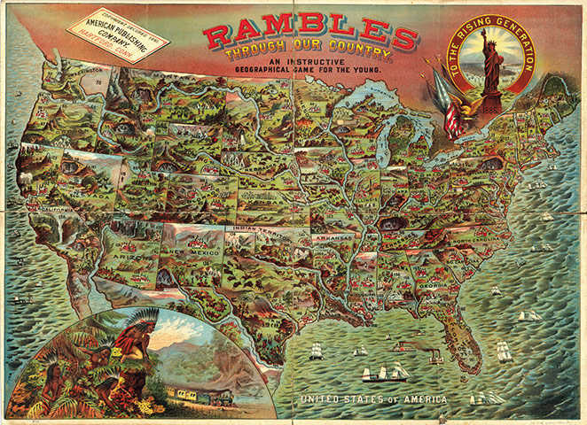
'Map of the Indian Tribes of North America about 1600 AD along the Atlantic; & about 1800 AD westwardly', Albert Gallatin, 1836Photograph: Courtesy David Rumsey Map CollectionHow The Public Domain Has Been Squandered. Map showing land Republican Congresses gave to Railroad Corporations, 1884, Rand McNally & CoPhotograph: Courtesy of Congress, Geography and Map DivisionRambles Through Our Country, an instructive geographical game for the young, American Publishing Company, 1886Photograph: Courtesy David Rumsey Map Collection
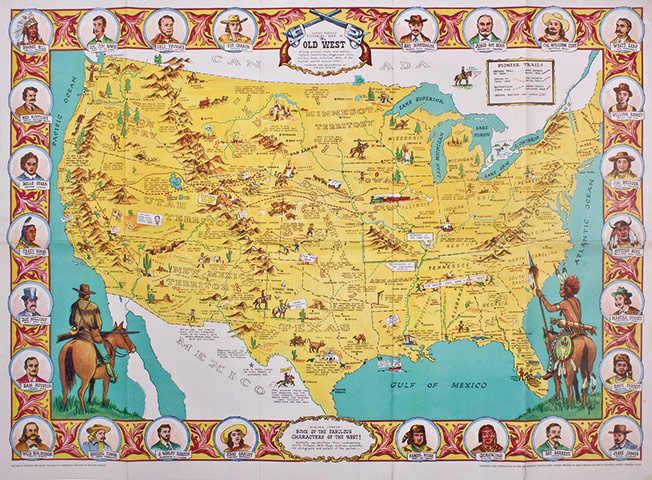
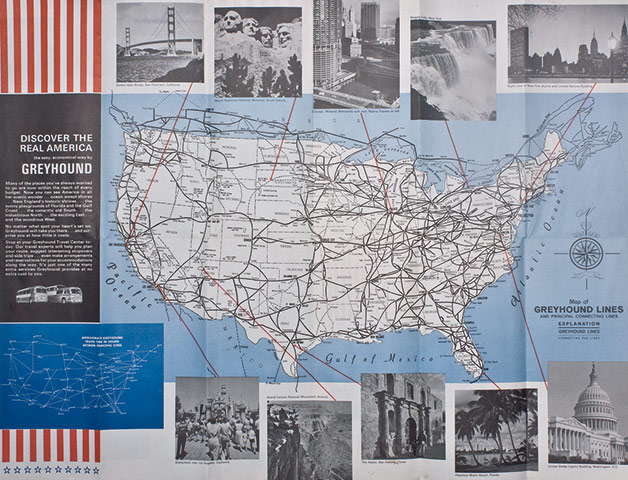
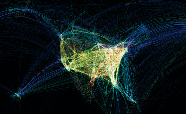
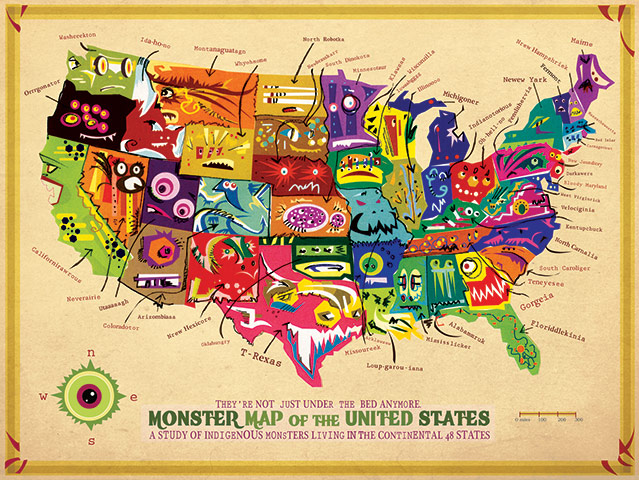
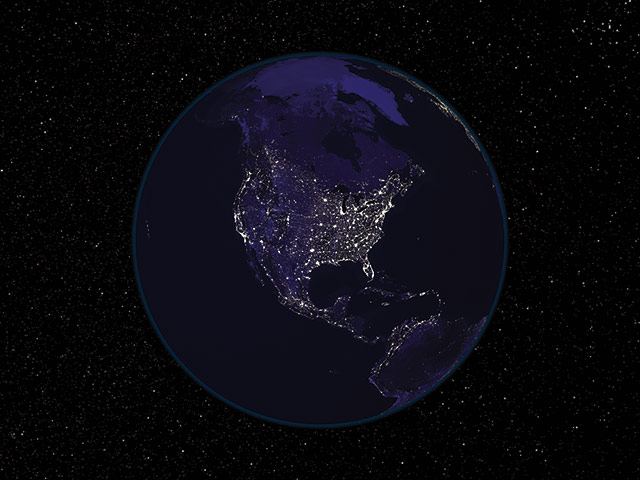
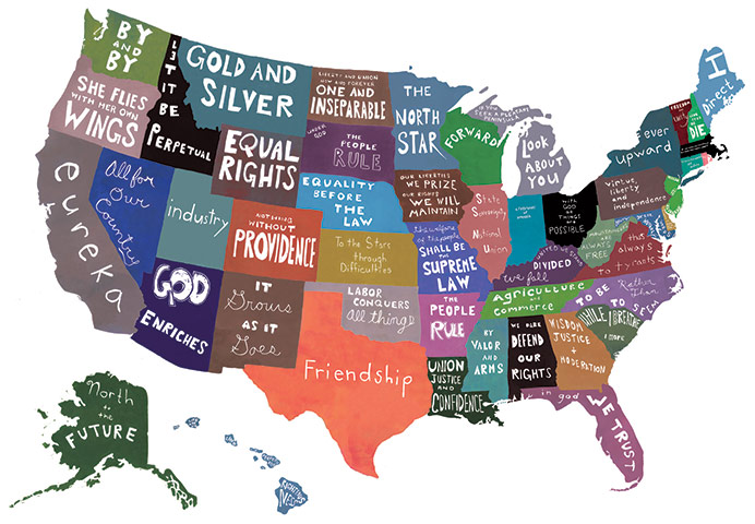
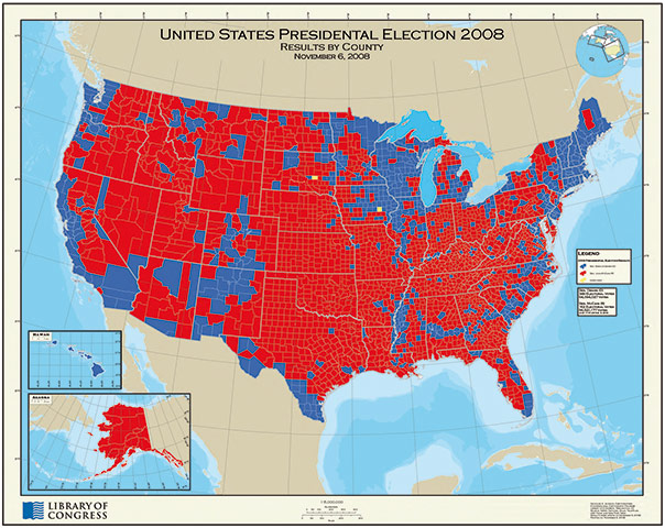
A Pictorial Chart of American Literature compiled by Ethel Earle WyliePhotograph: Courtesy Library of Congress, Geography and Map DivisionDanny Arnold's pictorial map of the Old West, Fran Dowie Photograph: Collection of Peter ClarkMap of Greyhound lines and principal connecting lines, Greyhound Lines IncPhotograph: Collection of Peter ClarkFlight Patterns, Aaron KoblinPhotograph: Courtesy the ArtistMonster Map of the United States, Blayne WardPhotograph: Image courtesy the artistNight-time view of North AmericaPhotograph: NASA Earth ObservatoryThe Fifty United States and Their Mottos, Emily WickPhotograph: Courtesy the artistResults by county in the United States presidential election 2008 Photograph: Courtesy Library of Congress, Geography and Map Division
Sign up to read this article
Read news from 100’s of titles, curated specifically for you.