UPDATE Wednesday 1:00pm:
AUSGRID has warned it is on standby to shut off the power supply to Singleton if conditions worsen.
With potential evacuation warnings in place, Ausgrid has advised the community to be prepared for the power supply to be turned off at short notice.
"Power supply may need to be shut off as flood waters on live electrical assets can pose significant community safety risks," it said in a statement.
"Please ensure your devices are charged and follow the instructions of the SES and emergency responders.
"Remember, there are no second chances with electricity. Fallen powerlines may be hidden by flood waters.
"Proceed with caution and always assume a fallen wire is live, stay at least eight metres away and call Ausgrid on 13 13 88."
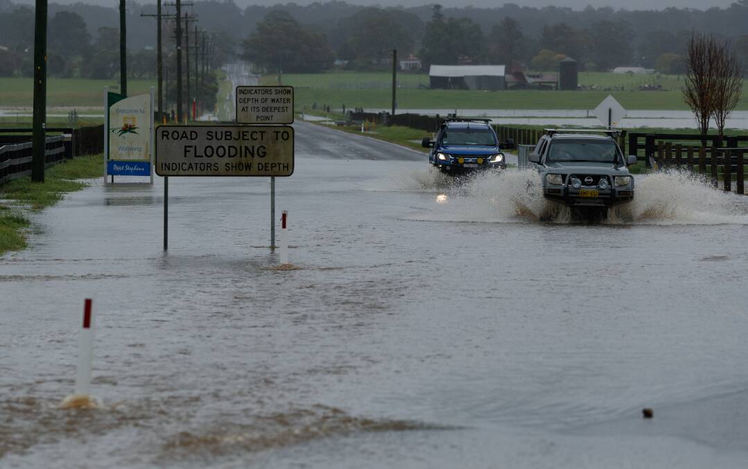
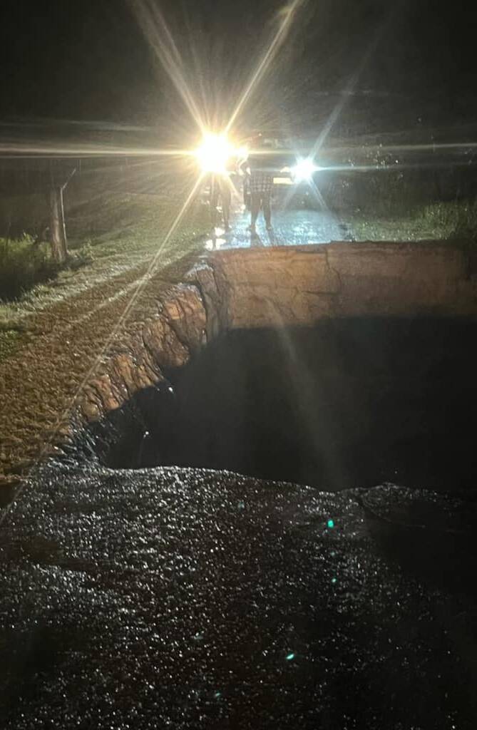
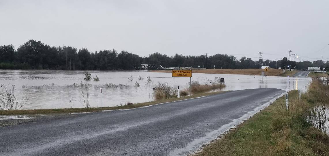
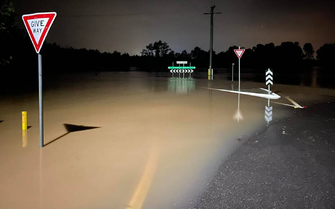
It comes as the New England Highway has been closed to light vehicles in both directions at Singleton.
Motorists travelling southbound are being diverted at White Avenue and can use Blaxland Avenue and Bridgeman Road to Obanvale.
From there, drivers can use Retreat Road, Dyrring Road and Gresford Road to join Queen Street at Singleton.
Vehicles travelling northbound are being diverted at Pitt Street and can use John Street to travel to Queen Street and Gresford Road.
From there, they can use Dyrring road and Retreat Road to join Bridgman Road at Obanvale.
For more updates visit Live Traffic NSW.
Ausgrid will continue to provide updates through its websites, social media pages and SMS.
All registered life support customers are being urged to enact their Plan B.
Members of the community should switch off power points and unplug devices and appliances from the wall if their property has not been flooded.
If the property has been impacted by water, it is not recommended to approach the main switchboard as it can cause a shock under fault conditions if touched.
UPDATE Wednesday, 10.30am:
Evacuation orders are in place for the Bulga, Broke, Combo, Whittingham, Scotts Flat, Glennriding and Dunolly areas.
An evacuation warning is in place for the Singleton township.
What the SES is expecting
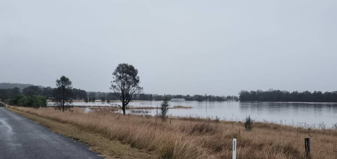
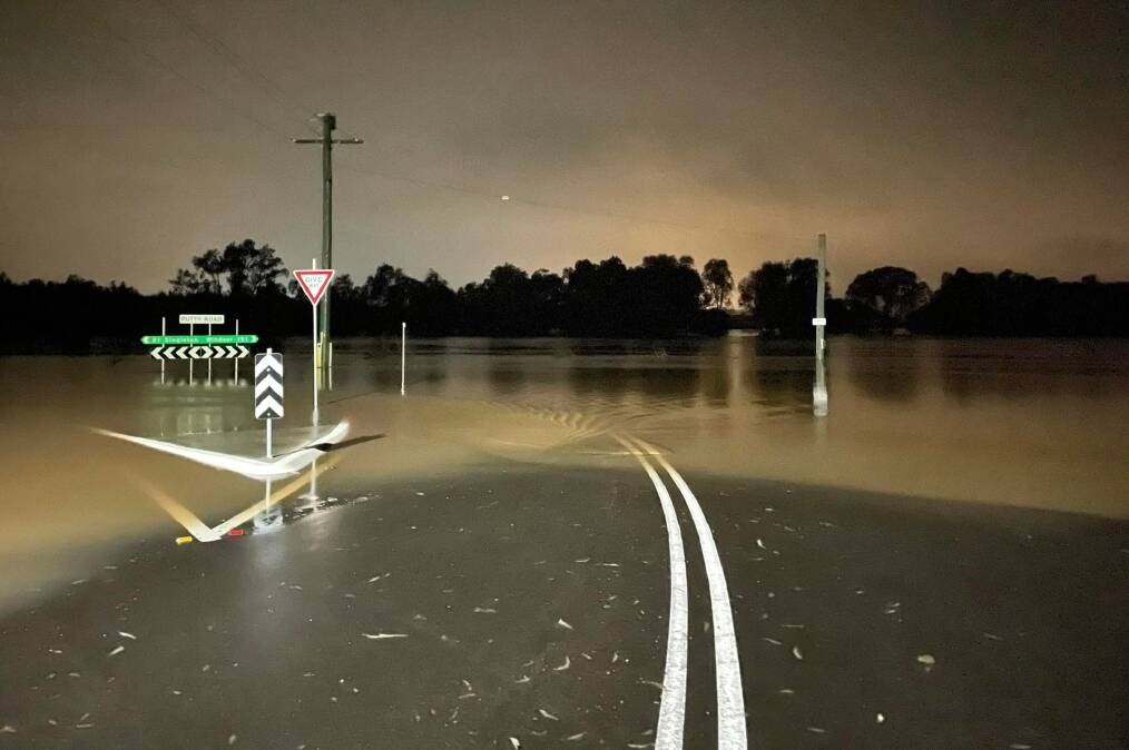
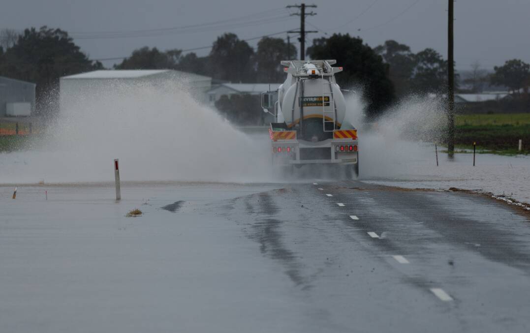
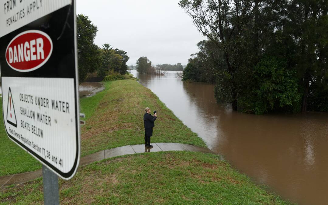
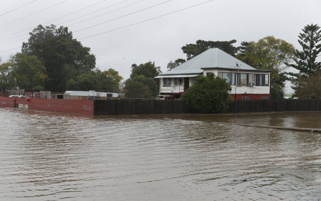
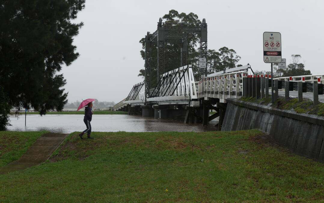
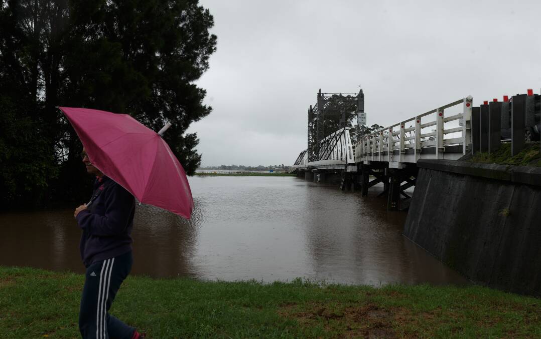
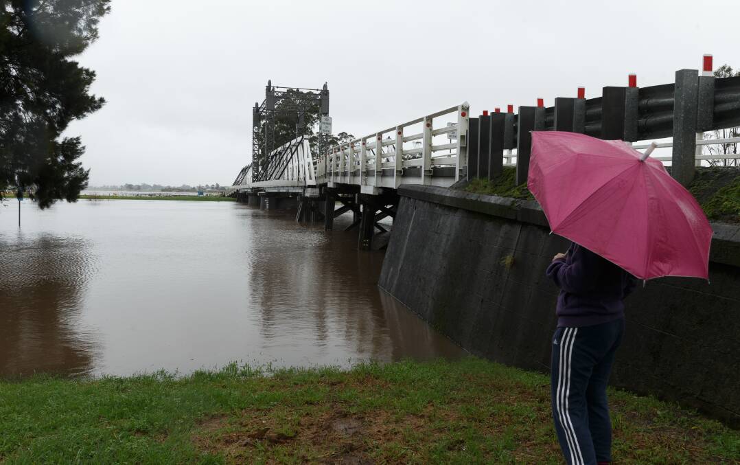
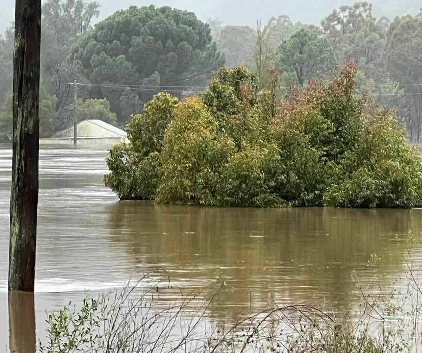
Moderate flooding is occurring at Singleton, with major flooding likely.
- The Hunter River at Singleton is likely to exceed the major flood level (13.00m) late Wednesday morning and may reach around 13.80m late Wednesday afternoon, with major flooding. Further rises possible, with forecast rainfall.
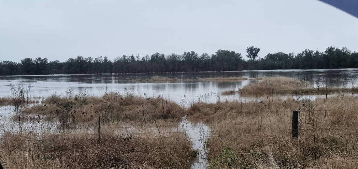
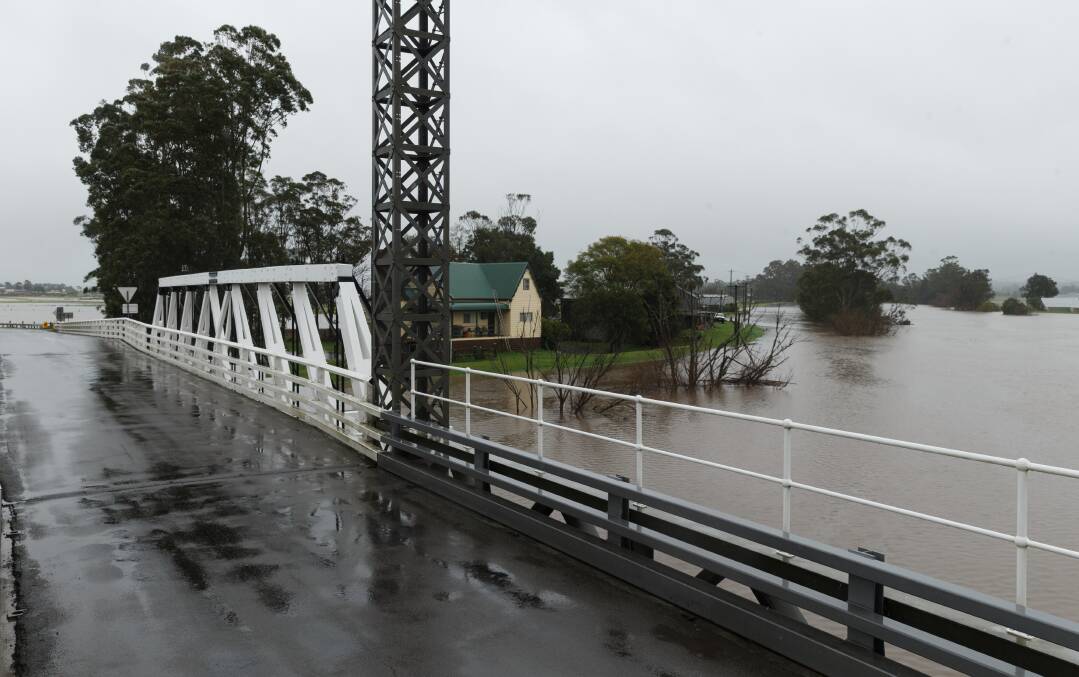
- Inundation begins of rural low-lying areas in and around Glennriding, Dunolly, Combo and Whittingham
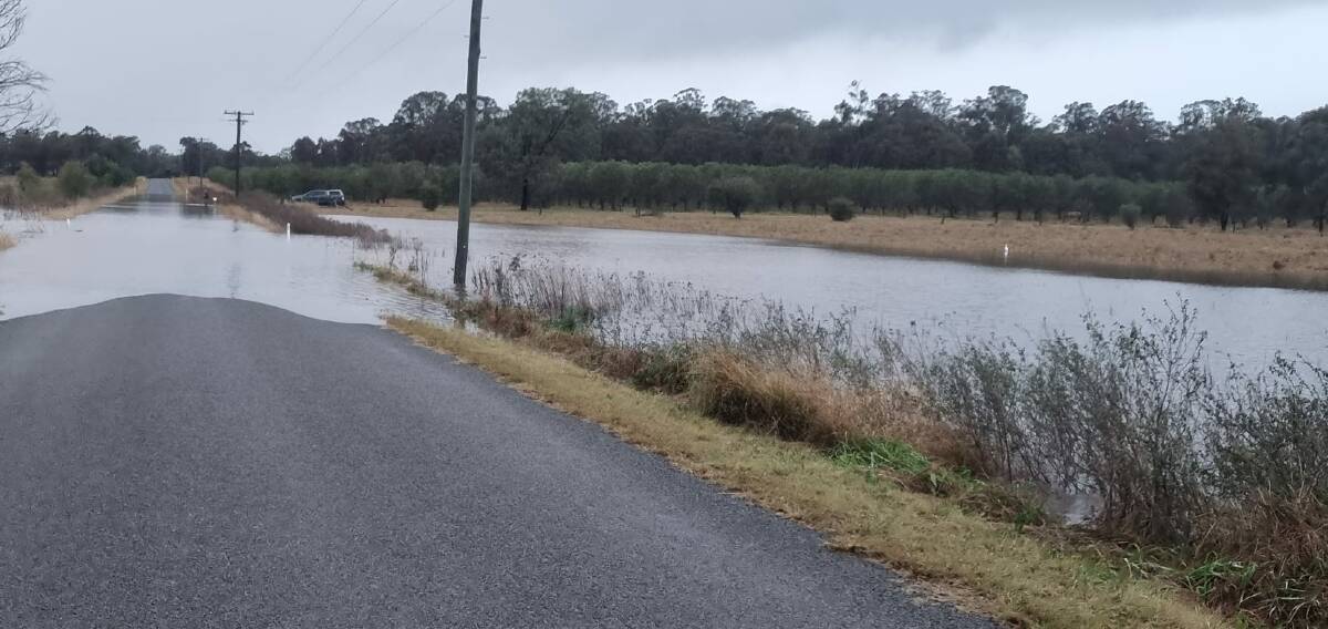
- Low-Lying areas of East Singleton and Whittingham will be impacted by minor road closures.
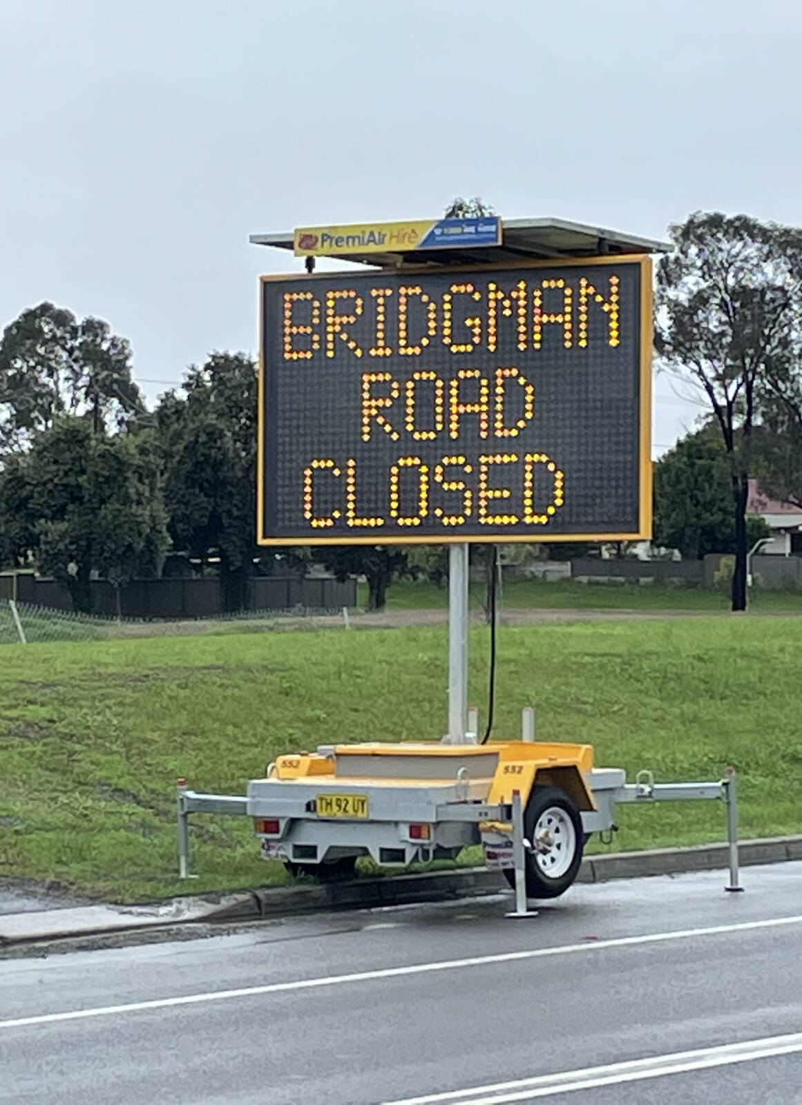
- Bridgeman Road Singleton may close 500m north of the New England Highway intersection
- All Riverside Park access is closed
- Possible overtopping of river at Scotts Flat area leading to the isolation of properties
- Inundation of low-lying properties in Doughboys Hollow and Whittingham
- Glendon cut off from direct access to Singleton; alternative route open via Sedgefield and Roughit Lane
- A number of key local roads will be closed
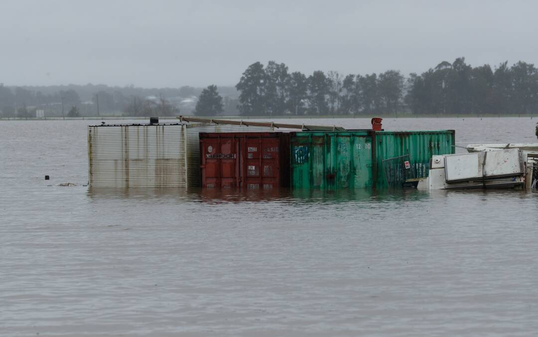
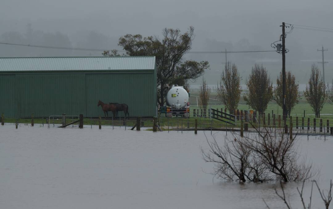
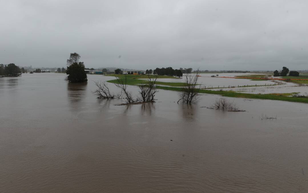
- Extensive flooding of low lying farmland around Singleton
- New England Highway likely to be closed between Bridgman Road and White Avenue
What you need to do
- People in areas likely to be impacted by flooding in Glenridding, Dunnolly, Combo, Whittingham and Scotts Flat Road areas needed to have an evacuation plan
- People in areas likely to be impacted by flooding should consider:
- Refraining from driving or walking through flood water
- Road closures and flood isolation may impact on work, family and educational commitments
- Monitoring emergency warnings and severe weather updates on local ABC radio, NSW SES Facebook Page and Bureau of Meteorology website
- If your property is at risk of inundation, please raise moveable items, such as furniture, as high as possible onto benches or tables, placing electrical items on top
- If you are advised by an emergency services officer to evacuate, please do so
- Securing outside belongings and before leaving; turn off the power, water and take essential medicines and clothes with you
- Farmers should move machinery, livestock, pumps and fodder to flood-free ground
For emergency help in floods and storms, call the NSW State Emergency Service on 132 500. In life-threatening situations call triple zero (000) immediately.
Wednesday, 9am:
The NSW State Emergency Service has issued an evacuation warning for the Singleton township.
The warning calls for residents to monitor the evolving flooding situation and to be prepared to evacuate if instructed to do so.
"A Flood Evacuation Order will be issued by the NSW SES if and when evacuations are required," Hunter NSW SES advised on Wednesday morning.
The evacuation warning comes as the Bureau of Meteorology predicts increased flooding along the Hunter River for the Singleton area, exceeding the major flood levels experienced in March 2022.
"As a result, residents and visitors to these areas should take action now to prepare for possible flood impacts," Hunter NSW SES said.
"NSW SES is advising residents in low lying areas of the following locations that they may need to evacuation due to rising flood water."
Where to go if evacuation is required
Wherever possible, people should go and stay with family or friends, or make other accommodation arrangements.
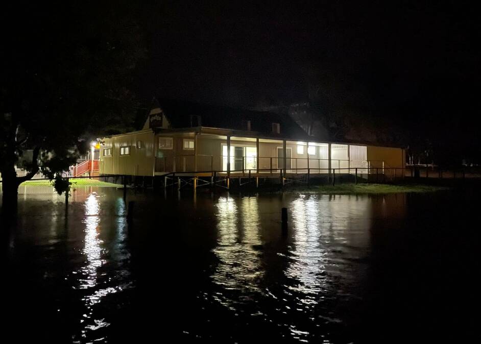
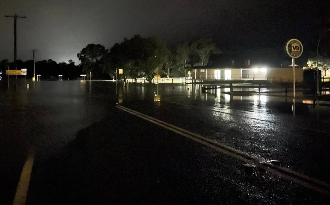
An evacuation centre has been set up at Singleton Diggers, Dorsman Drive, Singleton Heights.
Evacuation with COVID
If you are currently in self-isolation due to COVID-19, contact the Public Health Unit on 1300 066 055 before leaving your location, where possible.
What Hunter SES is expecting
Once floodwater begins inundating the area, road access may be cut. If you remain in the area after this time, you may become trapped and it may be too dangerous for NSW SES to rescue you.
What you need to do in preparation for evacuation
- Lift possessions and important items above the predicted flood height.
- Take pets, essential items, warm clothes, medicines, insurance documents and valuables with you.
- Leave as early as possible to avoid restricted roads.
- Share this information with family, friends and neighbours and help others where possible.
- For emergency help in floods and storms, call the NSW State Emergency Service on 132 500. In life threatening situations call triple zero (000) immediately.
Earlier Wednesday, 8.30am:
Singleton's Mayor has reached out to the community during the area's major weather event. You can read it here.
The SES have described the flooding in Wollombi Brook as the highest since 1952.
And the expected water level for the Hunter River at Singleton this afternoon will exceed those recorded in March this year of 13.40m. In November 2021 the river reached 12.3m.
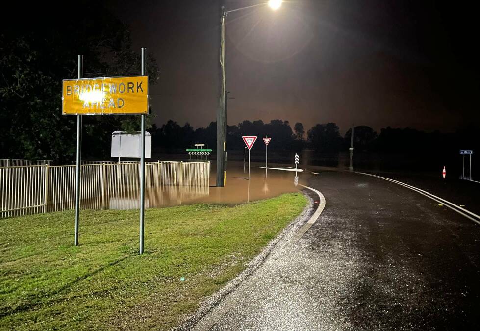
Bridgman Road is closed northbound traffic trying to access Singleton Heights, Hunterview and rural areas beyond Bridgman Road should use the alternate route.
Access starts at Boundary Street, followed by Queen Street, Dyrring Road, Retreat Road and then onto Bridgman Road.
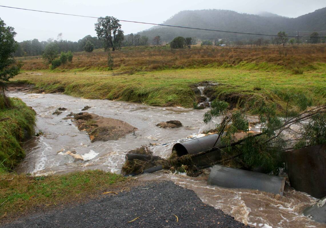
Heavy rainfall since Sunday morning has caused river level rises across the Hunter River catchment.
Significant river level rises have been observed along Wollombi Brook, where major flooding is occurring above March 2022 flood levels at Wollombi and Bulga.
River level rises are expected to continue during Wednesday morning and levels at Bulga may reach 8.40 metres, with major flooding. This is the highest recorded level since 1952. Further rises possible, with forecast rainfall.
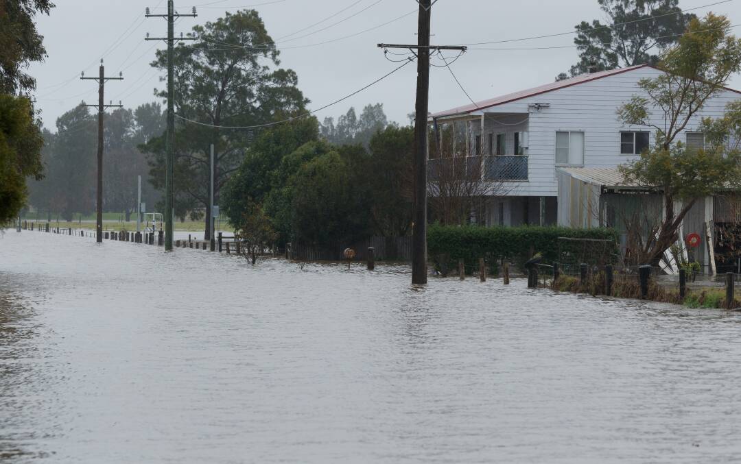
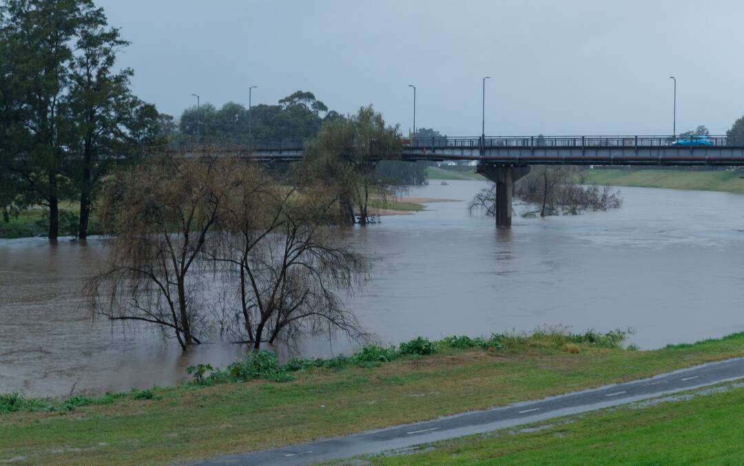
Along the Lower Hunter River at Singleton, moderate flooding likely from Wednesday morning, with major flooding possible at Singleton from Wednesday afternoon.
River levels are expected to exceed March 2022 flood levels from late Wednesday afternoon and may reach 13.60 metres. Further rises possible, with forecast rainfall.
Minor flooding and renewed rises are occurring at Maitland, with moderate flooding possible from Wednesday afternoon.
Further rainfall is forecast for Wednesday, which may cause further river level rises and prolonged flooding. This situation is being closely monitored, and revised predictions will be provided as necessary.
Wollombi Brook
Major flooding is occurring along the Wollombi Brook.
The Wollombi Brook at Wollombi may reach around 14.40 metres early Wednesday morning, with major flooding. Further rises possible, with forecast rainfall.
The Wollombi Brook at Bulga is currently at 8.13 metres and rising, with major flooding (above March 2022 and March 2021 levels). The Wollombi Brook at Bulga may reach around 8.50 metres early Wednesday morning, with major flooding. Further rises possible, with forecast rainfall.
Lower Hunter
Minor flooding is occurring along the Lower Hunter River at Singleton and Maitland. Major flooding is likely at Singleton. Moderate flooding is possible at Maitland.
The Hunter River at Singleton is likely to reach the moderate flood level (11.50m) early Wednesday morning. The river level is likely to exceed the major flood level (13.00m) Wednesday afternoon and may reach around 13.60 metres Wednesday evening, with major flooding. Further rises possible, with forecast rainfall.
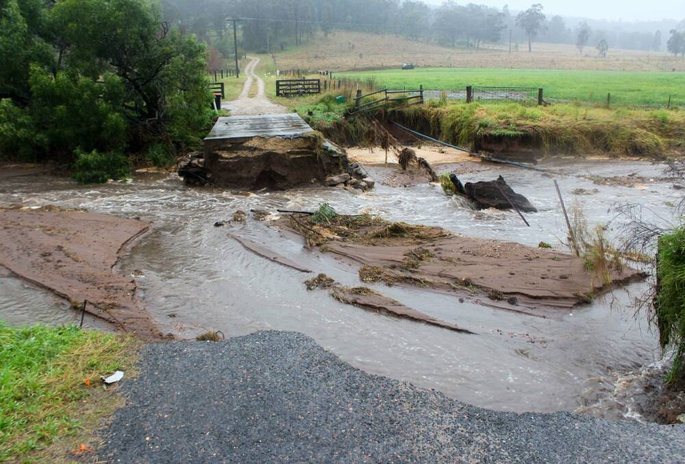
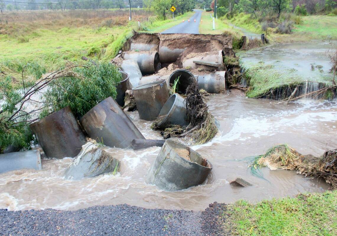
List of road closures at 7am, Wednesday, July 6
From Singleton Council: Crews are inspecting the local road network this morning and the following roads, causeways and bridges are currently closed due to flash flooding.
Please note the Singleton Disaster Dashboard does not seem to be updating. Please note the below road closures:
- Golden Highway @ Coolmore Stud (water over road ONLY)
- Golden Highway @ Mudies Creek
- Appletree Flat Road
- Army Camp Road
- Cemetery Lane, Whittingham
- Bridgman Road
- Broke Road
- Broke / Cessnock Road - between Broke township & Hermitage Road
- Carrington Street
- Charlton Road
- Cranky Corner Road North
- Dights Crossing Road
- Dyrring Road @ 2nd Causeway
- Dunolly Road @ Dunolly Bridge
- Glendon lane @ Christian Badior Bridge
- Goorangoola Road, all causeways
- Lemington Road @ Moses Crossing
- Mitchell's Flat Road @ Griffiths Crossing
- Myall Creek Road
- Oakley Lane, Broke
- Pearse Street, Jerrys Plains
- Putty Valley Road, Bpooty Bridge
- Putty Valley Road, Gibbs Bridge
- Scott's Flat Road
- Sewerage Works Lane
- Simpson Terrace
- Standen Drive, near Kirkton PS
- Stanhope Road & Lamb Valley Road, Kilfoyles
- Stanhope Road @ Moore's Corner
- Waterworks Lane
- Wollombi Road @ Paynes Crossing Bridge
- Wollombi Road, just near 60km zone at Broke
Singleton Council advice
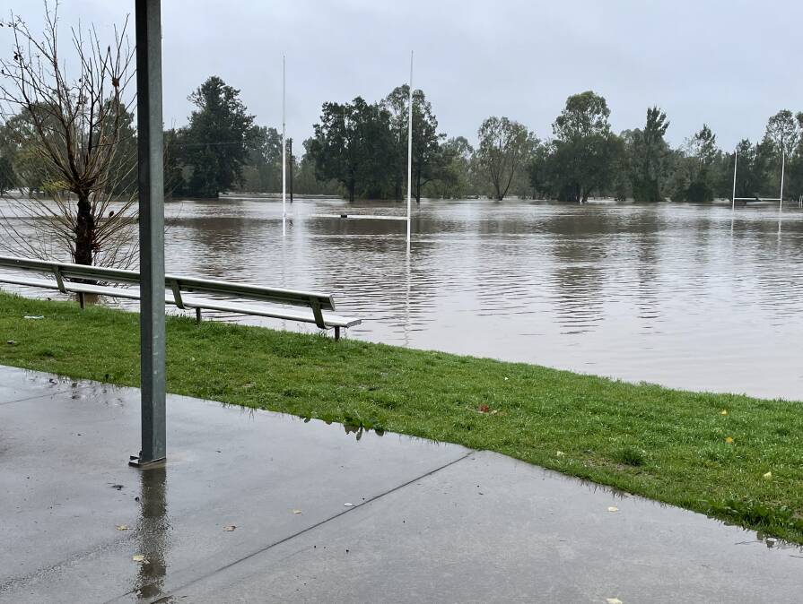
Due to the current flooding event, Rose Point Park, Cook Park, Civic Park and Allan Bull Reserve and Skate Park are now closed until further notice. All sporting fields are also closed.
Due to the weather event and impacts on availability of staff, the following Council facilities will be closed from Wednesday, until further notice:
- Singleton Visitor Information Centre
- Singleton Public Library
- Singleton Youth Venue
- Colleen Gale Children's Services
- OOSH