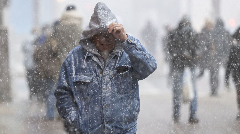
The Chicago area was hit with its first round of snow early Saturday before a more significant system is expected to move into the region Monday evening.
As of 6 p.m., O’Hare airport had recorded about 1.9 inches of snow and Midway about 1.6 inches, according to the National Weather Service.
The Department of Streets and Sanitation deployed salt spreaders overnight, focusing on routes near highways and Jean Baptiste Pointe DuSable Lake Shore Drive.
Outside the city, roads along Interstate 39 and Interstate 57 outside the downtown area saw the most snowfall.
National Weather Service meteorologist Zachary Yack urged drivers to exercise caution on the roads through the weekend.
“If you are driving in snow, increase your following distance, have your headlights on and add a little extra time to your travel time,” Yack said.
The system is expected to linger in the area until Sunday morning, followed by a “brief lull,” before more significant storms Monday night.
An active weather pattern lies ahead. Snow showers linger today and tonight. Brief lull Sunday night-Mon. with a significant storm system moving in Mon. night - Tuesday night. #ILwx #INwx https://t.co/6mXVNjC0Le pic.twitter.com/idr5tV7MZk
— NWS Chicago (@NWSChicago) January 6, 2024
The areas south of Interstate 80 will likely be hit the hardest Monday night, with bursts of heavy, wet snow.
The system will remain in the area through Tuesday with winds projected to reach 30 mph.
Over the next five days, temperatures will remain around the mid-30s with overnight lows in the high 20s to low 30s.