Karnataka is once again bracing for a spell of monsoon activity, with the India Meteorological Department flagging rain and gusty winds across several districts on July 4, 2026. From the coastal belt to the interior plains and right up to the state capital, cloud cover and intermittent showers are expected to mark the day. Here's a breakdown of what residents across the state can expect.
Bengaluru Weather today: Cloudy Skies, Light Showers, Gusty Winds
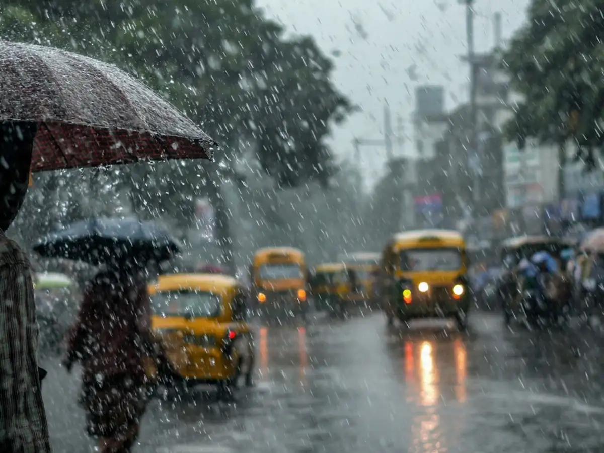
The city woke up to partly cloudy conditions this morning, with humidity levels hovering around 88 percent and a light drizzle already recorded in parts of Bengaluru. Temperatures are expected to swing between a high of roughly 29-31°C and a low near 20-21°C through the day.
The regional weather office's local forecast for Bengaluru calls for a generally overcast sky through the day and into the following 48 hours, accompanied by scattered light rain and sustained winds blowing at 30-40 kmph in some pockets. Residents heading out, especially two-wheeler riders and pedestrians, are advised to keep an umbrella or raincoat handy given the gusty conditions.
Air quality in the city is likely to see a temporary improvement as the rain helps settle dust and pollutants, though visibility could dip to around 6 km during heavier spells.
Coastal Karnataka Bears the Brunt
IMD has issues orange alert for the region and has predicted very heavy rain, thunderstorm & lightning, squall, strong surface winds for Coastal Karnataka today. As has been the pattern through the first week of July, coastal districts are seeing the most persistent rainfall. Areas such as Karwar, Ankola, and Manki in Uttara Kannada, along with Belthangadi, Dharmasthala, Mangaluru, Subramanya, Sulya, and Uppinangadi in Dakshina Kannada, have all logged notable rainfall in the past 24 hours, with totals ranging from roughly 7 mm to 11 mm at various observatories.
Fishermen along the Karnataka coast have been cautioned against venturing into the sea, with wind speeds along the coast expected to touch 60 kmph in gusts. The advisory is likely to remain in force for the next few days as an offshore trough continues to run from south Gujarat down to the Karnataka coastline, keeping the weather system active.
North and Interior Karnataka: Scattered Showers, Some Heavier Spells
IMD has issues orange alert for the region and has predicted very heavy rain, thunderstorm & lightning, squall, strong surface winds for Interior Karnataka today. Districts in North Karnataka, including Bagalkot, Bidar, Gadag, Haveri, Kalaburgi, Koppal, Raichur, and Vijayapura, along with Belagavi and Dharwad, are expected to see light to moderate rain accompanied by gusty winds of 30-40 kmph at scattered locations.
Meanwhile, South Interior Karnataka, including parts of the Bengaluru region, Tumakuru, Mandya, Hassan, Chitradurga and neighbouring districts, has seen spells of heavy rain with gusty winds reaching 50-60 kmph over the past few days, and similar conditions could continue intermittently through the coming days as the wider weather system persists.
What's Driving the Rain in Karnataka?
The current spell is being fuelled by an offshore trough at sea level stretching from the Gujarat coast to Karnataka, a feature typically associated with sustained monsoon activity along India's west coast. Broader forecasts also point to continued rainfall over Coastal Karnataka through the first week of July, with South Interior Karnataka likely to see an uptick in activity later in the week.
Safety Tips for Residents
- Keep rain gear handy, particularly if travelling through low-lying or waterlogged-prone areas of Bengaluru.
- Fisherfolk along the coast should avoid heading out to sea until advisories are lifted.
- Motorists should watch for reduced visibility and slippery roads during spells of moderate to heavy rain.
- Residents in hilly or landslide-prone areas of the Western Ghats belt should stay alert to local advisories.