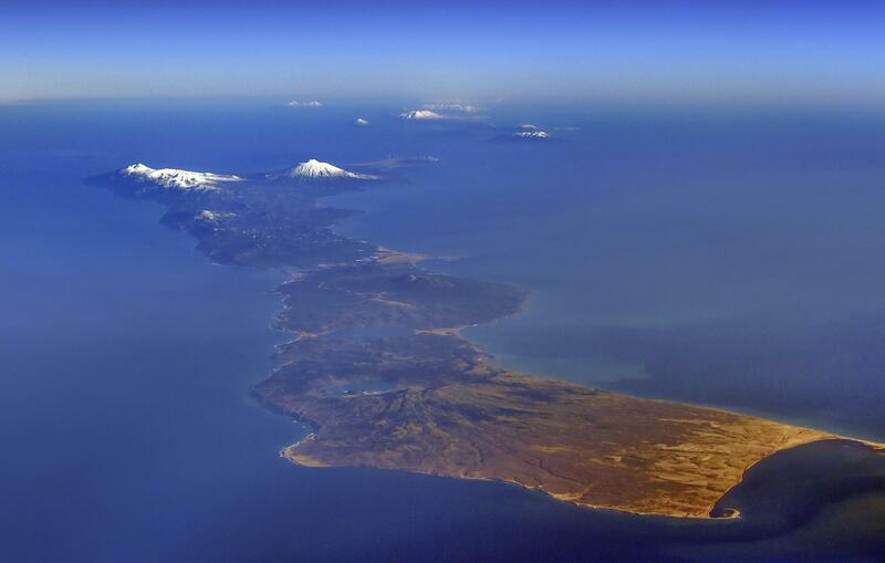
The government plans to compile a vegetation map of the northern territories during fiscal 2021, sources said.
Since Japan has not been able to conduct on-site inspections of the islands, which are illegally occupied by Russia, it plans to use satellite images to create the map. The move is aimed at showing the international community that the group of islands off eastern Hokkaido is an inherent part of the territory of Japan.
Besides the northern territories, Japan has created vegetation maps for the entire country, including the islands of Shimane Prefecture known as Takeshima, illegally occupied by South Korea, and the Senkaku Islands in Okinawa Prefecture.
The survey will take about one year and cover the about 5,000 square kilometers of the northern territories.
In addition to analyzing government-administered satellite images, the government will purchase images from the private sector and entities overseas to create the map, combining multiple images and comparing seasonal changes. The government created the vegetation map of the Senkaku Islands using satellite images in 2015.
Since field surveys are not available, the scale of the map will not be the usual 25,000: 1, but rather rough at 200,000: 1. Even so, this is said to still be sufficient to get an overview of plant distribution.
This type of topographical map shows the distribution of the type of plant life and can be used for environmental assessments for construction work. It can also be a source material for coming up with measures against disaster and wildlife issues.
"We can expect new discoveries in the northern territories, which have different plants from those found in eastern Hokkaido," said an official of the Environment Ministry's Biodiversity Center of Japan in Yamanashi Prefecture.
Read more from The Japan News at https://japannews.yomiuri.co.jp/