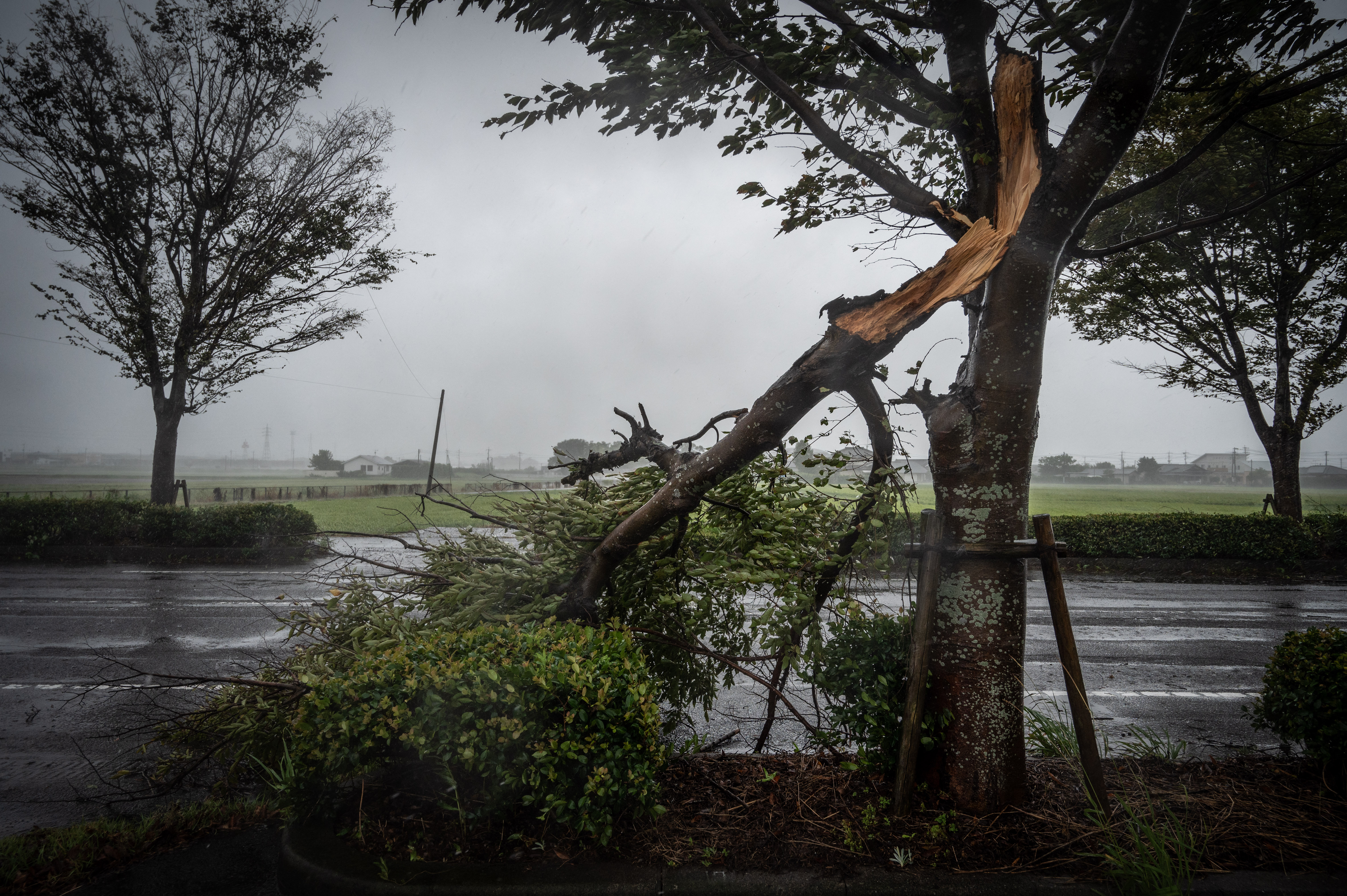
Millions of people in southern Japan have been ordered to evacuate as a super-typhoon bears down on the region.
Japan’s weather agency issued a rare “special warning” about Typhoon Nanmado with level-four evacuation instructions – the second highest – in place for people in Kagoshima, Kumamoto and Miyazaki in the southern Kyushu region.
The typhoon made landfall late on Sunday. Here is the latest:
What is a super-typhoon?
- Nanmadol was classified as a super-typhoon by the US Navy’s Joint Typhoon Warning Centre (JTWC), meaning it has the potential to be the most destructive tropical storm to strike Japan in decades.
- JTWC places typhoons into five categories using one-minute sustained winds to determine which category a storm falls into.
- It designates tropical storms with sustained winds of 240 kilometres per hour (150mph) or greater as super-typhoons. Such weather systems are the equivalent of a Category 4 or 5 hurricane on the Saffir–Simpson scale.
How many people are affected?
- Local authorities have ordered four million people living on Kyushu island to evacuate.
- In Kagoshima prefecture, more than 9,000 residents took shelter at evacuation centres.
- In neighbouring Miyazaki prefecture, another 4,700 people were moved away from the super-typhoon.

What regions will be affected?
- The Japan Meteorological Agency (JMA) warned residents in the affected area of flooding, landslides, as well as “unprecedented” levels of powerful winds and waves, and urged them to evacuate early.
- JMA said southern Kyushu could receive 400mm (16 inches) of rain over the next 24 hours and wind gusts of up to 235kmph (145mph) while the central Tokai region could get 300mm (12 inches) of rain.
- Nanmadol is forecast to turn east and reach Tokyo on Tuesday.
- The typhoon will curve east and pass over Japan’s main island of Honshu before moving out to sea by Wednesday.

How has the typhoon affected daily life?
- Kyushu Electric Power Co said more than 93,000 homes across the island are without electricity because of damage to power lines and facilities.
- Public transport, including trains and buses, in Kagoshima and Miyazaki was suspended.
- Railway operators said bullet trains on Kyushu were not operating.
- Convenience store chain 7-Eleven shut down 950 outlets, and Toyota Motor Corp said it will idle production at three factories.
- Hundreds of domestic flights in and out of the region were cancelled.
- More flights are planned to be grounded in western Japan through Tuesday as the super-typhoon heads northeast, according to Japan Airlines and All Nippon Airways.