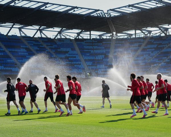
Ireland has been experiencing extreme weather in recent weeks with record-breaking temperatures and wall-to-wall sunshine, occasionally broken up by thunderous downpours.
On Tuesday, thermometers hit 29.9C in Dundalk which was the earliest 29C on record for Ireland.
Many other parts of the country also experienced sweltering heat, which is beating holiday hotspots like Malaga, Crete and Rome.
READ MORE: Exact date Ireland’s heatwave will end as Met Eireann issue new weather warning amid sweltering heat
The hot temperatures are forecast to stick around for the rest of the week, but forecasters are warning that the sunny skies will be replaced by thunderstorms, lightning and hailstones at times.
Met Eireann has issued a number of rare double warnings in recent days, with the latest in effect until 9pm.
The current ‘thunderstorm’ and ‘rainfall’ warning affects the following southwestern counties - Clare, Cork, Kerry, Limerick, Tipperary, Galway and Mayo.
The Status Yellow alert reads: “Localised slow-moving showers and thunderstorms with frequent lightning, gusty winds and hail in the most intense storms. Possible Impacts include Localised flooding, Difficult travelling conditions, Power outages.”
The national forecaster has confirmed that the ‘muggy’ conditions will stick around until the weekend.
Giving a day-by-day breakdown of what to expect, its forecast reads: “A mild and muggy night Wednesday with temperatures not falling below 11C to 15C . Any lingering showers in the west and southwest will die out early on, leaving a mostly dry night with clear spells. There is a chance of further heavy showers on western fringed towards morning. Some patchy mist and fog will develop in a light variable breeze.
“Thursday morning will be dry with hazy sunshine in the north and east, cloudier in the south and west with the chance of some patchy rain or drizzle. Scattered heavy showers will develop through the midlands and northwest through the afternoon and evening with thunderstorms and spot flooding possible. Very warm with light winds and highest temperatures of 22C to 26C, though sea breezes will keep coastal areas cooler
“Any remaining showers will ease early in the night Thursday and it will become dry with clear spells for a time. Further showers will push into the south and southwest towards morning, turning heavy in places. Mild again with temperatures not falling below 13C to 16C in light southeasterly winds.
“Heavy and persistent showers will spread northwards Friday to most areas through the day, with isolated thunderstorms possible. Not just as warm as previous days with highest temperatures of 19 degrees in the south to 24C in the north in a light to moderate southeasterly breeze.
“A very mild night Friday with temperatures not falling below 14C to 16C. Scattered showers will continue to feed up from the south in light southerly winds, with some heavy downpours.
“Widespread heavy showers on Saturday, with thunderstorms and spot flooding possible. Highest temperatures of 19C to 23C in light to moderate southeasterly winds.
“Another showery day Sunday, with scattered showers becoming widespread through the afternoon, turning heavy at times with a chance of isolated thunderstorms. Highest temperatures of 19C to 23C in light to moderate southeasterly winds.
“Early next week showers will continue to feed up from the south for the early days of next week, with some heavy and persistent falls at times. Staying quite warm with temperatures in the low twenties.”
Meanwhile, it appears there is no end in sight to the ‘mini-heatwave’ temperatures.
Giving its verdict on when the ‘mini-heatwave’ will end, Met Eireann confirmed that temperatures will remain “well above average” for the rest of this week
Looking ahead to next week (June 19 to June 25) in its monthly forecast, it said “those warmer than average conditions will be maintained nationwide”
For the final week of June (June 26 to July 2), it predicted: “Once again, temperatures will be warmer than normal nationwide.”
The meteorological agency has pinpointed the week of July 3 to July 9 as the exact date the hot weather is forecast to fade - however, not by much.
While it admitted “confidence is low” at this stage, it said: “Current indications suggest that an easterly airflow will persist across the country with temperatures remaining just above the norm.”
READ NEXT:
- Met Éireann issues urgent weather warning for 23 counties as horrendous conditions replace heatwave
Further heatwave blast in early Met Éireann Ireland weather forecast for July and August
Join our new WhatsApp community! Click this link to receive breaking news and the latest headlines direct to your phone. We also treat our community members to special offers, promotions, and adverts from us and our partners. If you don’t like our community, you can check out any time you like. If you’re curious, you can read our Privacy Notice.