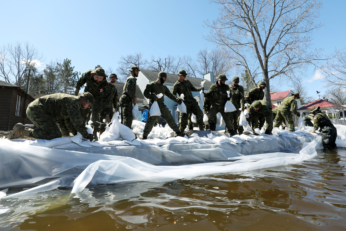
Canada plans to focus its next budget on tackling climate change and its effects but the insurance industry, amid skyrocketing costs, is concerned the government will move too slowly on the key first step of mapping flood risks.
Flood mapping is used to underwrite flood insurance, assess bank exposure across mortgage portfolios, inform home buyers, and plan new infrastructure.
Prime Minister Justin Trudeau pledged sweeping climate action during his re-election campaign last year, including C$150 million ($112.2 million) for flood mapping. The federal budget is expected at the end of March.
"Flooding is by far the single greatest peril facing Canadians as a result of climate change," Craig Stewart, vice president of federal affairs for the Insurance Bureau of Canada, told Reuters.
Stewart said the natural resources ministry is proposing doing the mapping itself with the focus only on fluvial - river and lake - flooding, in a process that would take 10 years.
The natural resources and finance ministries both declined to say whether such a measure would be in the budget.
"We can't take a decade to complete flood maps for this country, and we need to make sure we're mapping urban and coastal flooding as well," Stewart said. He estimates it could be done within three years if the government collaborates with the private sector.
A government source said the approach it will take on mapping has yet to be decided.
Current mapping is on average 20 to 25 years out of date, said Blair Feltmate, head of the University of Waterloo's Intact Center on Climate Adaptation Faculty of Environment.
Insurers spent C$1.9 billion annually, on average, between 2009 and 2019 on catastrophic flooding claims, compared with an average of C$422 million per year in the 1983-2008 period, according to Insurance Bureau data. The four-fold increase was driven mostly by flood loss and the majority of claims were residential.
Last year, a government-commissioned panel on sustainable finance also recommended a public-private partnership for the mapping.
A member of the expert panel, Tiff Macklem, the dean of Toronto's Rotman School of Management and a former Bank of Canada senior deputy governor, said flood mapping is "an immediate priority."
"The Expert Panel envisaged a model where the private sector would pay a membership fee," Macklem said. "This type of model ... would be both less expensive and provide higher-quality data."
($1 = 1.3371 Canadian dollars)
(Reporting by Steve Scherer in Ottawa; Editing by Matthew Lewis)