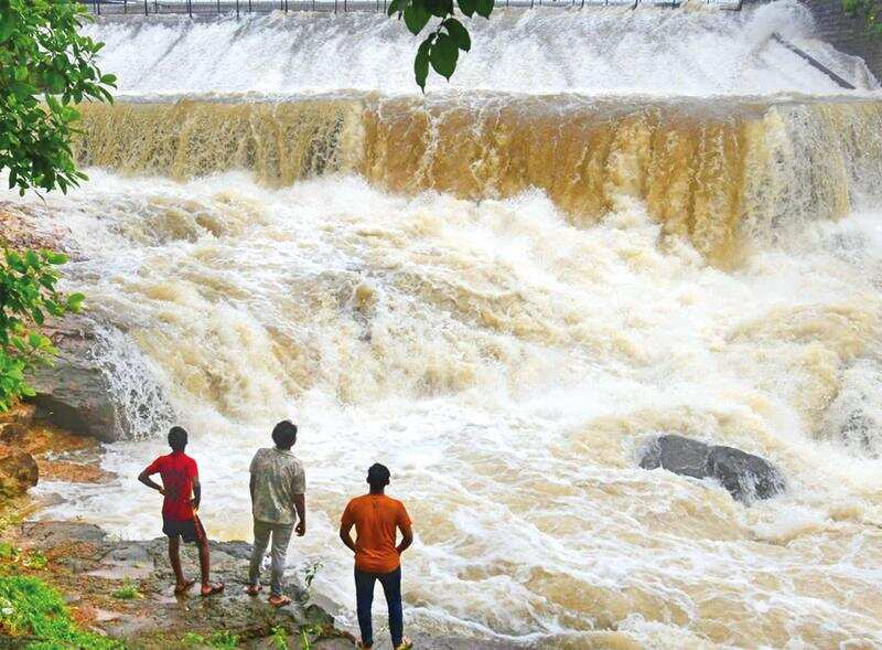
MUMBAI: With torrential downpour since the weekend, the city has logged 1,932.3 mm of rainfall till Tuesday evening, around 68 mm short of the 2,000 mm mark. A few more heavy spells in the coming days will help achieve the season’s average rainfall of 2,205 mm. Till Tuesday the city had recorded 87.6% of the season’s average rains.
Meanwhile, in July alone, India Meteorological Department (IMD)’s Santacruz observatory recorded 971 mm of rains, which has exceeded the July average of 827 mm. In the nine hours that ended at 5.30pm on Tuesday, the IMD Colaba observatory recorded moderate rains of 35.4mm and IMD Santacruz observatory recorded 38.4mm rains.
According to IMD officials, heavy rains are likely to continue in Mumbai and adjoining areas in the coming days. The weather alert for Tuesday was downgraded from an orange alert to a yellow alert. However, an orange alert is in place for Mumbai from Wednesday to Friday (July 21-July 23) indicating heavy to very heavy rainfall. A yellow alert has been issued for Saturday, indicating a decrease in rain activity. The IMD has issued a red alert for Raigad for July 21-22, indicating extremely heavy rains.
Stocks in the seven lakes supplying water to Mumbai rose to 4.8 lakh million litres or 33.2% as on 6 am Tuesday from 4.2 lakh million litres or 28.7% on Monday. So far, only the two smaller lakes —Tulsi and Vihar —have overflowed.
“Monsoon remained active to vigorous over most parts of Maharashtra. Most parts of Konkan—Goa and the ghat areas of Madhya Maharashtra—received widespread rainfall with heavy to very rainfall at a few places and isolated extremely heavy rainfall. Fairly widespread light to moderate rainfall occurred over Marathwada too. Owing to the existing weather condition, southwesterly monsoon flow is expected to strengthen, and the rainfall distribution and activity is expected to increase over the region,” said IMD.
The weather systems currently prevailing include an off-shore trough at mean sea level, which runs from Maharashtra coast to the coast of Karnataka. It is likely to persist for the next three to four days.
The meteorological department said that there was a cyclonic circulation over south Gujarat region and its vicinity at 3.6 km above mean sea level.