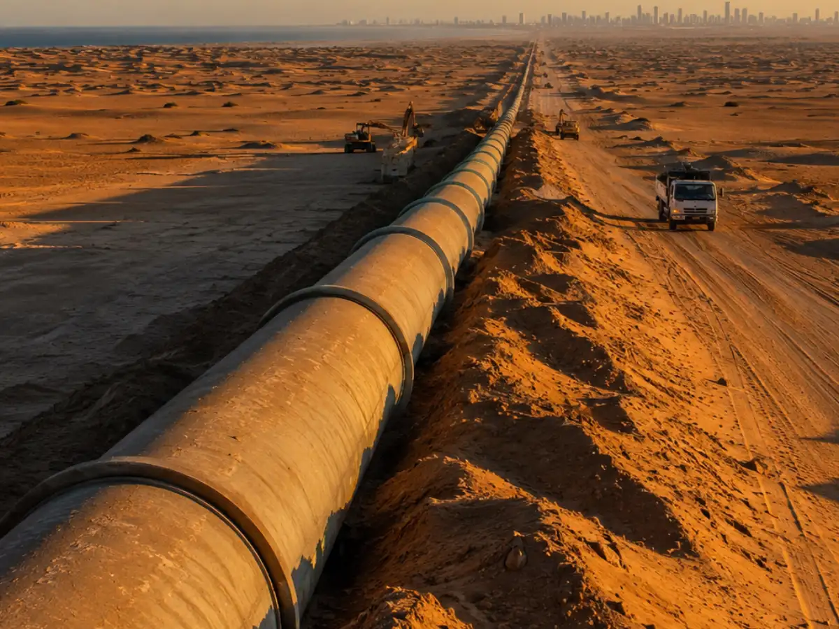
Libya is one of the driest countries on Earth, but beneath its desert lies a network of underground pipes, some 4,000 kilometers long, built to carry ancient water from the deep south to the crowded coastal cities in the north. According to the Middle East Institute's recent analysis of the project, Libya's Great Man-Made River, which still supplies a large part of the country’s population, is incomplete and vulnerable more than four decades after ground was first broken. For Americans watching groundwater levels drop across the Southwest, Libya's gamble is worth paying attention to.
Why Libya built it in the first place
In the 1960s, Libya experimented briefly with desalination of seawater. This approach, according to the Middle East Institute, lost priority when Muammar Gaddafi came to power in 1969, and attention turned to the country’s underground aquifers. The same analysis points out that Gaddafi’s government promoted the idea that Libya had an almost unlimited supply of groundwater, a claim that helped justify years of heavy use with little planning for what would happen when it ran out.
There was one problem: that water was hundreds of kilometers away from where people lived. The population of Libya was clustered along the northern coast while aquifers were in the far south. Rather than moving cities or building more desalination plants on the coast, the government chose a third option: moving the water itself. Feasibility studies were carried out through the 1970s, and the pipeline network went into operation in 1984. Crews built concrete pipes about 13 feet across, wide enough to drive a small car through. They drilled more than 1,300 wells, many about 1,600 feet deep, to feed water into the system.