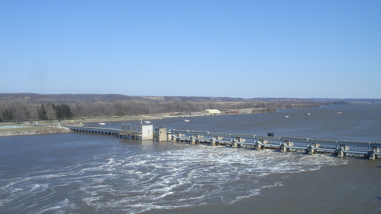
A flotilla of barges arrived in Chicago from New Orleans on June 22, 1933, and marked the completion of one of America’s largest inland navigation projects. The Illinois Waterway created a continuous shipping route that linked the Great Lakes to the Mississippi River, and allowed cargo to move between the nation’s industrial heartland and the Gulf of Mexico without having to rely on rail. It stretches more than 300 miles across Illinois through the Illinois, Des Plaines, Chicago, and Calumet rivers, and quickly became an important commercial corridor that is lined with locks and dams that remain busy even today. According to the Illinois Secretary of State Archives , the opening of the waterway permanently replaced the old Illinois and Michigan Canal for commercial navigation after decades of engineering work.
Get breaking news anytime, anywhere. Download the TOI app now!
A shipping shortcut that reshaped American commerce
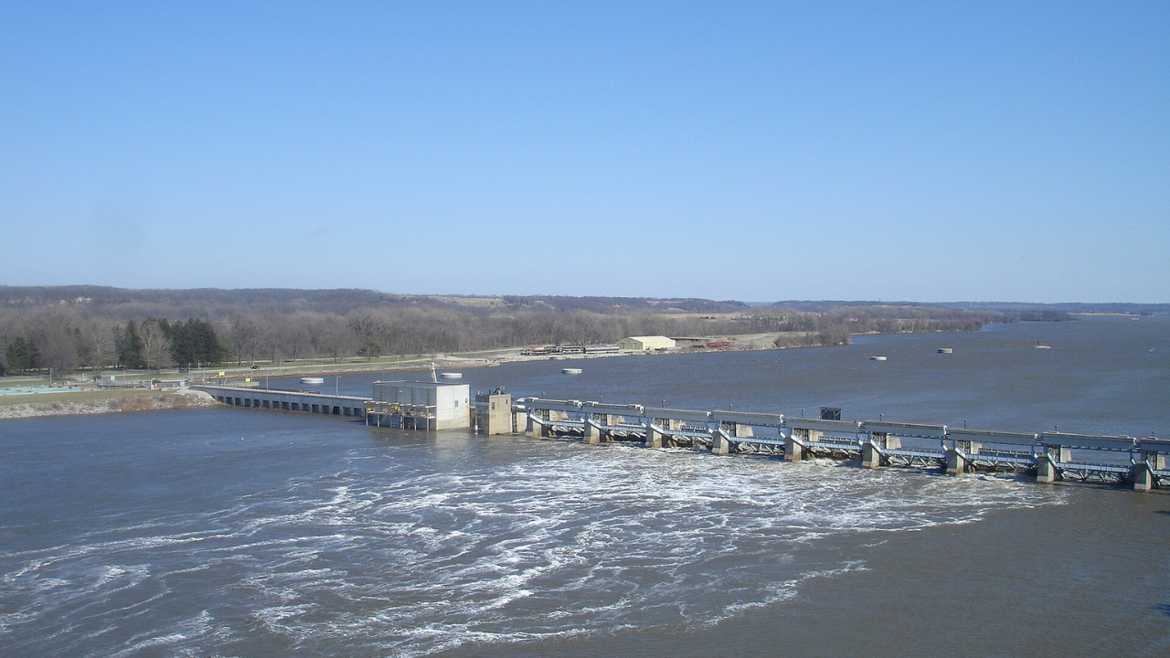
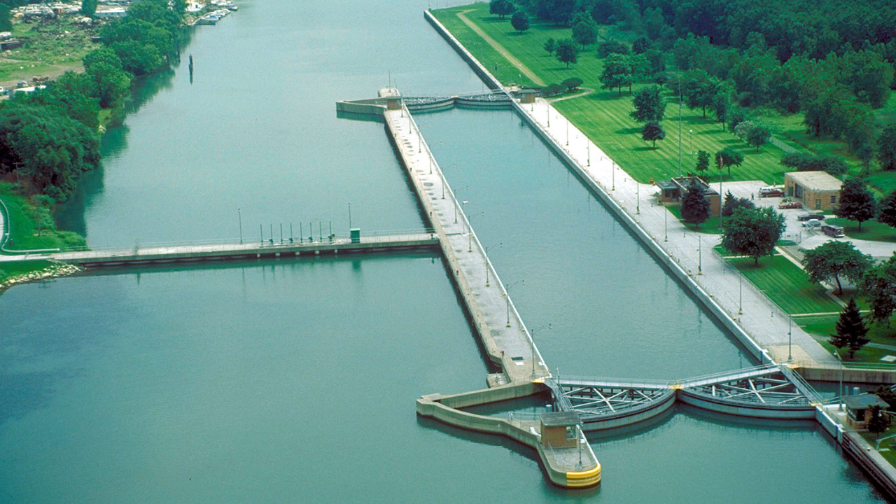
The project was built on earlier canals and the Chicago Sanitary and Ship Canal, which created a navigable route that was capable of handling much larger barges than its predecessor. Grain, coal, petroleum, chemicals, construction materials and manufactured goods could now move between the Great Lakes and the Mississippi River system at lower cost. The U.S. Army Corps of Engineers, which operates the locks today, says the Illinois Waterway includes the entire Illinois River along with sections of the Des Plaines, Chicago and Calumet rivers, which allows commercial and recreational vessels to travel more than 300 miles through the state. Its locks remain an essential part of the inland freight network, and connect Midwest farms and industries with export markets farther south.
The engineering achievement had an unintended consequence that would not become fully apparent until decades later. The waterway created a route through which aquatic species could move between the Mississippi watershed and the Great Lakes basin by physically connecting two river basins that had long been largely separated. Among the most concerning arrivals were invasive carp. They were originally imported into the United States during the 1960s and 1970s for use in aquaculture facilities and wastewater treatment ponds, and several species escaped into southern waterways during floods and steadily spread north through the Mississippi River system. Their rapid growth, enormous appetite and ability to reproduce in large numbers allowed them to dominate stretches of the Illinois River, which raises fears that they could eventually establish populations in the Great Lakes.
A century-old waterway now sits on the front line of an ecological battle
Today, one of the busiest sections of the Illinois Waterway has become an important defensive point against invasive carp. According to the Illinois Department of Natural Resources , awareness of this particular threat intensified during the 1990s as carp populations expanded through the Illinois River. This led to the construction of electric barriers near Romeoville beginning in 2002. More recently, federal and state agencies launched the Brandon Road Interbasin Project near Joliet, where engineers are building a layered system of electric fields, underwater sound, bubble curtains, and flushing technology that are all designed to stop invasive carp from moving toward Lake Michigan while allowing commercial navigation to continue.
The Illinois Waterway is still one of America’s most important inland transportation corridors nearly a century after its completion, since it carries millions of tons of cargo every year. It reminds us that infrastructure can reshape ecosystems in ways engineers never anticipated. It initially began in 1933 as a triumph of navigation and now carries an added responsibility: protecting one of the world’s largest freshwater systems from species that found an unexpected route through one of the nation’s greatest engineering achievements.