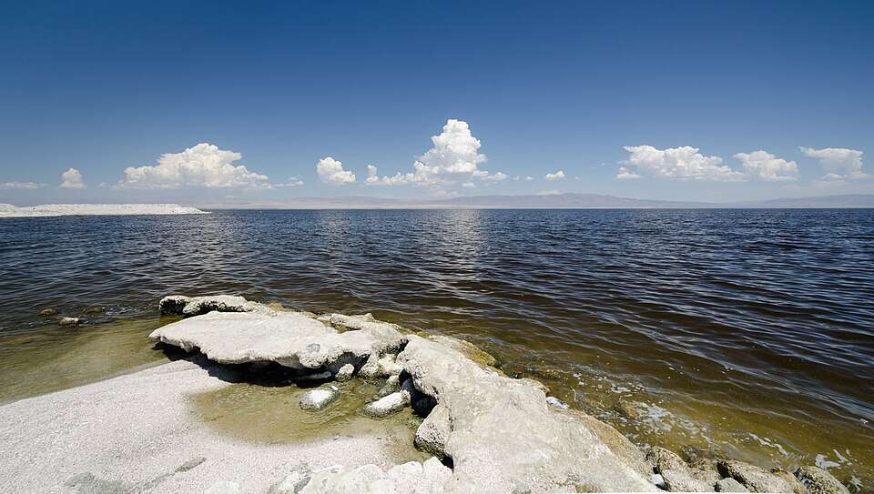
More than a century ago, what began as an engineering blunder in the California desert created one of the country's most unusual environmental challenges. What was intended as a water diversion project for irrigation instead caused flooding that formed a lake still visible today.
Get breaking news anytime, anywhere. Download the TOI app now!
The Salton Sea, now California’s largest lake by surface area, was not created through planned construction. It formed when the Colorado River breached an irrigation channel in 1905, sending large amounts of water into the Salton Sink for almost two years.
A canal project that went disastrously wrong
During the early 20th century, there was a scheme to make agriculture possible in the arid region of the Imperial Valley in California by diverting the waters of the Colorado River to irrigate farmland in the region. The California Development Company constructed an irrigation canal to feed the expanding farming community.
According to a historical account published in the Journal of Earth Science and available through Springer Nature , the river’s unusually high flow overwhelmed the canal and thwarted efforts to make temporary fixes. Ultimately, the Colorado River breached the canal at its headworks and flooded unimpeded into the low-lying depression of the Salton Sink, which lies below sea level. The river was not contained until early 1907.
A flood that washed away houses, farmlands, and the railway line
The disaster caused widespread destruction across southeastern California. According to the Journal of Earth Science review, the floodwaters destroyed farmland and structures across the Imperial Valley. The Southern Pacific Railroad reportedly spent millions of dollars building emergency defenses and repairing tracks as the flood threatened its line.
Historical accounts say the floods affected the settlement of Salton, the lands of the Torres Martinez Desert Cahuilla Tribe, and numerous farms as water continued to flood the basin. This disaster permanently changed the area.
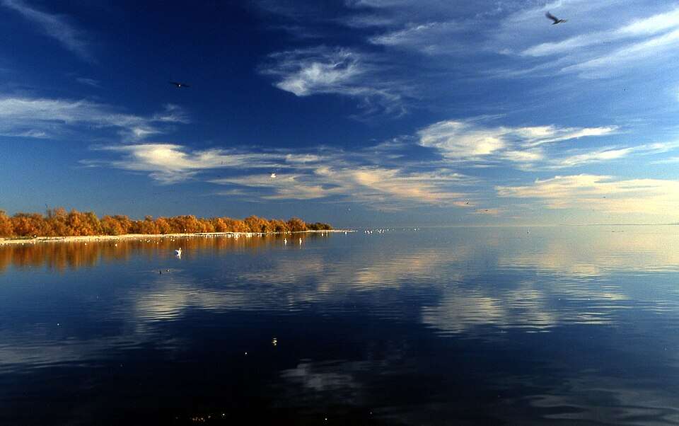
The formation of the largest lake in California by mistake
Instead of drying up after the floods receded, the water ended up staying in place within the Salton Sink because it is a closed basin with no natural outlet to the sea. According to the US Geological Survey (USGS), the Salton Sea lies at California’s lowest elevation, about 235 feet (72 meters) below sea level. Over time, the lake was sustained mainly by irrigation runoff in the Imperial and Coachella valleys. Today, the lake covers hundreds of square miles, making it the largest lake by surface area in California.
From holiday paradise to environmental disaster
The Salton Sea was once marketed as a vacation destination. The marinas, yacht clubs, fishing, and other resorts that developed during the 1950s and 1960s brought people in from all over America. Celebrities visited the area, tournaments used to take place, and developers had visions of turning the area into another seaside resort for California.
However, the lake’s fate changed because it had no outlet. Water entering the basin evaporates, leaving salts behind. According to the US Geological Survey (USGS), the Salton Sea has no natural outlet, meaning dissolved salts become increasingly concentrated as water evaporates.
Why the Salton Sea is relevant today
Although it is no longer a popular recreational spot, the Salton Sea remains an important habitat for birds and wildlife. The California Department of Fish and Wildlife says that it is located on the Pacific Flyway, which is a crucial migratory pathway for birds in North America. Many bird species use the location as a stopover point during migration.
In addition, the decreasing water inflow from the Colorado River has led to the degradation of the sea. As it gets shallower, more dust is generated as the lakebed dries out. Nearly 125 years after the Colorado River escaped its canal, the Salton Sea remains one of the clearest examples of an engineering mistake reshaping a landscape.