For generations, mapmakers relied on sea captains’ eyewitness reports to draw nautical charts. Dense sea fog, mirages, and other optical effects sometimes led mariners to mistake pumice, icebergs, or low clouds for land. Once an island appeared on an official marine map, it often remained in mapping databases for decades or centuries, creating phantom obstacles for ships and complications for maritime borders.
Get breaking news anytime, anywhere. Download the TOI app now!
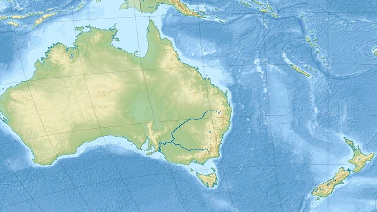
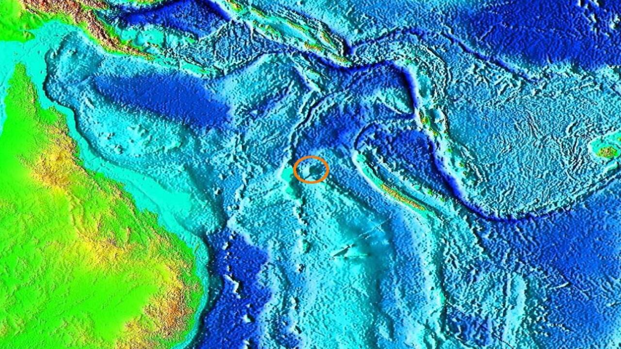
According to oceanographic survey data published in Geophysical Research Letters , a team of Australian scientists aboard the research vessel Southern Surveyor set sail in 2012 to investigate Sandy Island. First recorded in 1876 by the crew of the French whaling ship Velocity and later added to official British Admiralty charts, the island was believed to sit in the Coral Sea between Australia and New Caledonia. Digital mapping tools, including Google Maps, continued to display Sandy Island as a 25-kilometre-long landmass well into the twenty-first century.
When researchers reached the coordinates, they found only open ocean. Multibeam echo sounder surveys conducted by the expedition team confirmed that the sea floor beneath the spot reached depths of 1,300 metres. Geological records maintained by the Global Volcanism Program at the Smithsonian Institution suggest that nineteenth-century sailors may have spotted pumice rafts from underwater volcanic eruptions in the Southwest Pacific. Later marine boundary analyses from the International Hydrographic Organization confirmed that Sandy Island persisted on charts because of an administrative error.
How visual errors created phantom islands
Phantom islands often appeared because early ocean navigators lacked satellite guidance and instead relied on compass readings and basic astronomical calculations. Scientific analysis shows that volcanic pumice can form thick floating mats that drift across the sea for thousands of kilometres and can resemble a low coastline from a ship’s deck. Once a captain logged the location, hydrographic offices added it to official maps to warn other mariners of potential hazards.
Later mapmakers often left the feature on charts as a precaution for navigation. Because ocean voyages were costly and dangerous, authorities preferred to keep questionable landmasses on official maps until a dedicated scientific expedition could clearly prove they did not exist.
Why the discovery matters for ocean mapping
While satellite images provide broad views from above, they can sometimes misread surface conditions or preserve old database errors. This research emphasises the importance of deep water sonar mapping, which measures the actual depth of the ocean floor rather than relying only on surface views. Removing phantom landmasses from global databases helps prevent navigation errors and supports accurate maritime boundary mapping. The expedition shows that even in the digital age, direct exploration remains crucial for correcting the record and understanding the true shape of our oceans.
Stay updated with the latest news on Times of India. Get all the trending City News, India News, Business News, and Sports News. For Entertainment News, TV News, and Lifestyle Tips, visit Etimes.