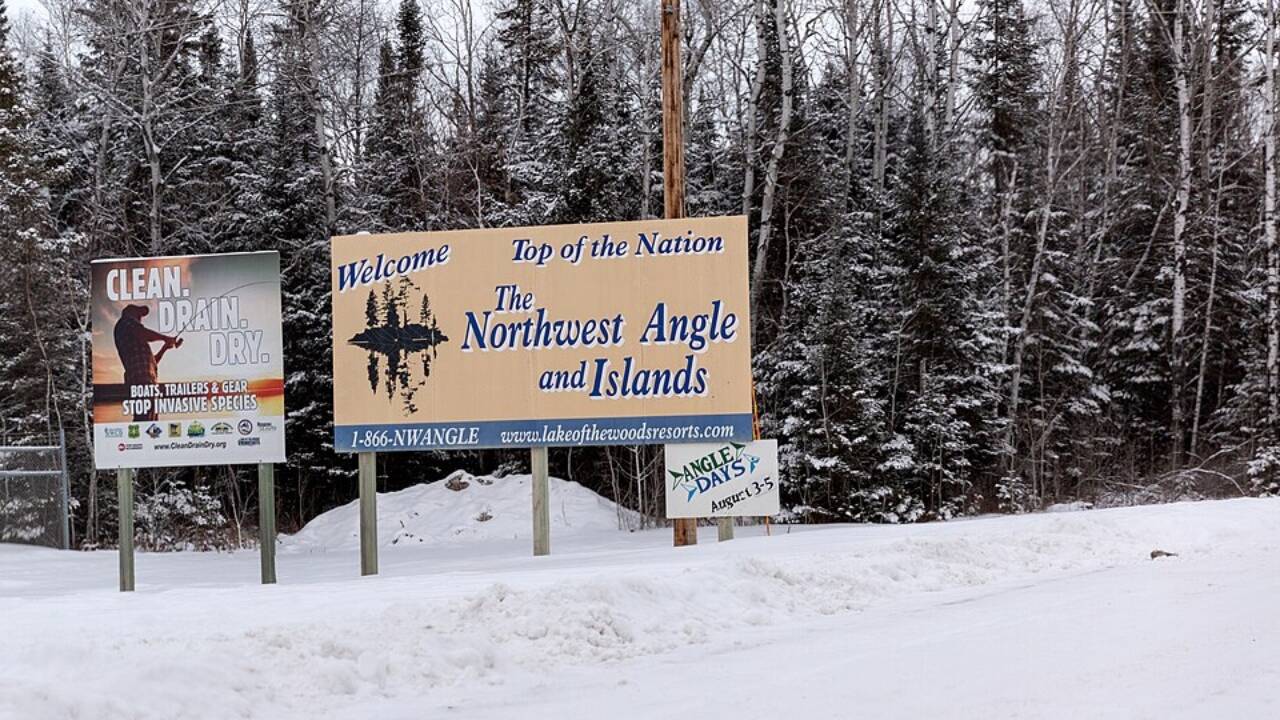
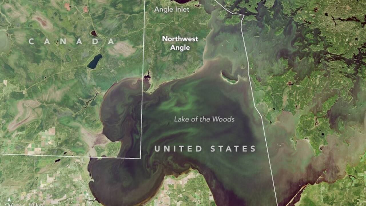
A cartographic mistake made more than two centuries ago still shapes how residents travel to work, school and the grocery store. Tucked into the northern tip of Minnesota, the Northwest Angle is the only part of the contiguous United States that lies north of the 49th parallel. As the region is cut off from the rest of Minnesota by Lake of the Woods, residents of the Northwest Angle need to cross into Canada and then re-enter the United States to even reach the mainland by road. This is a geographical oddity born from an inaccurate 18th-century map. According to NASA’s Earth Observatory and U.S. National Archives , the anomaly traces back to the 1783 Treaty of Paris, whose negotiators relied on incomplete knowledge of North America’s interior.
Get breaking news anytime, anywhere. Download the TOI app now!
A treaty based on a wrong map
As per the U.S. National Archives, the Treaty of Paris in 1783 ended the American Revolutionary War and established the boundary between the newly independent United States and British North America. Negotiators of the treaty agreed that the border would pass through Lake of the Woods to its northwesternmost point and then continue westward to the Mississippi River. The problem, however, was that 18th-century cartographers mistakenly believed the Mississippi River extended farther north than it actually did and had an inaccurate understanding of the shape and position of Lake of the Woods. As later surveys have revealed, the river’s true headwaters lie south of the lake, thereby making the treaty’s boundary description geographically impossible.
Following the discovery, Britain and the United States resolved the discrepancy through a series of 19th-century negotiations, including the Convention of 1818 and later boundary settlements, instead of simply rewriting the international boundary. NASA’s Earth Observatory notes these agreements left the small protrusion of land connected to the United States even though it became surrounded by Canadian territory on its landward side. The result of the agreement was the Northwest Angle, one of only a handful of practical exclaves in the contiguous United States and the northernmost point of the lower 48 states.
An American community that needs to reach the mainland through another country
Today, the Northwest Angle remains home to a small year-round population alongside seasonal visitors drawn by fishing and tourism on Lake of the Woods. The Lake of the Woods tourism authority has noted that anyone driving from the Angle to the rest of Minnesota must first enter the Canadian province of Manitoba before crossing back into the United States. This unusual journey requires travellers to comply with the international border regulations despite never intending to actually enter Canada as their final destination. Notably, during the winter months, when ice roads are safe, residents of the Northwest Angle can travel directly across the frozen lake, while boats provide another seasonal alternative.
The Angle’s unusual position has made it an iconic case study for geographers, as it demonstrates how historical surveying errors can influence modern-day political boundaries and public administrations even after centuries. Although the border appears unusual on modern maps, it remains an internationally recognised frontier established through successive treaties and confirmed by later surveys rather than corrected after better mapping became available.
Interestingly, many historians say that the reason why the Northwest Angle survives is not that anyone intended to create an American enclave inside Canada, but because diplomats chose to preserve an existing treaty instead of redrawing an established international border. With the 1783 Treaty of Paris being one of the most consequential diplomatic agreements in the history of America, more than 240 years later, one inaccurate 18th-century map continues to influence political borders.