Hurricane Roslyn has killed at least two people after making landfall near Santa Cruz on Mexico's west coast as a Category 3 storm on Sunday, local authorities said.
The latest: "Lingering heavy rainfall from the remnants of Roslyn could lead to flooding and possible landslides in areas of rugged terrain over coastal west-central Mexico," the National Hurricane Center said in an update at 10pm ET.
Oct 23 1307 UTC: Major Hurricane Roslyn moving inland in northern Nayarit, Mexico. Swells generated by Roslyn will continue to affect portions of the SW and West-Central coast of Mexico and the southern Baja California peninsula through tonight. pic.twitter.com/Qf4B748fop
— NHC_TAFB (@NHC_TAFB) October 23, 2022
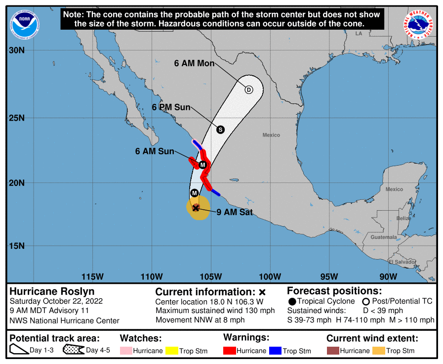
Driving the news: Roslyn was packing maximum sustained winds of about 120 miles per hour when it made landfall on Sunday, according to the National Hurricane Center.
- It was unleashing "damaging winds, a life-threatening storm surge and flooding rains" as it moved inland over west-central Mexico later in the morning, the NHC said.
Of note: Roslyn became the strongest eastern Pacific hurricane to hit Mexico since Hurricane Patricia struck the country on Oct. 23, 2015.
The big picture: It was classified as a tropical storm on Friday evening. But a 65 mph jump in wind speed saw the storm rapidly grow to a Category 4 hurricane in less than 24 hours on Saturday.
- The storm became a hurricane at 10 pm Central Time Friday, and intensified into a Category 3 six hours later. The fast-paced growth of the storm rivals some of the quickest intensification rates on record for the eastern Pacific.
- Roslyn was downgraded back to a Category 3 storm before it made landfall on Sunday morning and it weakened further as it moved inland, though it's remnants still posed a threat overnight.
Flashback: Hurricane Orlene, another Pacific storm, hit Mexico near Mazatlán as a Category 1 storm earlier this month.
Thought bubble, via Axios' Andrew Freedman: Due in part to human-caused global warming, studies show an increase in the tendency of tropical cyclones such as hurricanes to rapidly intensify.
- Such occurrences, most recently seen with Hurricane Ian in Florida, can catch coastal populations off guard and are a forecasting nightmare when they occur close to land.
Go deeper: Drones and satellites are making better, life-saving hurricane forecasts
Editor's note: This story has been updated with additional information throughout.