MIAMI _ Matthew remained a powerful Category 4 storm with sustained winds near 140 mph Saturday as forecasters maintained a hurricane watch for Jamaica and the southern coast of Haiti.
The hurricane watch, anticipating sustained winds of 74 mph or higher in the next two days, covers all of Jamaica, and the Haitian coast from the southern border with the Dominican Republic to the city of Mole-Saint-Nicolas in the island's northwestern region.
Hurricane-force winds extend 30 miles from Matthew's center.

The storm was west-northwest later Saturday, followed by a turn toward the north-northwest on Sunday and north on Monday.
Beyond Tuesday, however, forecasters are less confident about Matthew's movement, said Dennis Feltgen, the National Hurricane Center's center's public affairs officer and a meteorologist.
"The reason for that is there's still considerable spread in the models," he said, explaining that the American forecast models show Matthew moving closer to Florida while the European models predict the storm tracking further east.
"It could be anywhere from Florida to east of the Bahamas," Feltgen said. "As a result, right now it's way too early to tell if the state of Florida will see any hurricane impacts from Matthew. We just can't make the call."
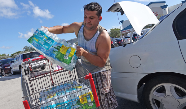
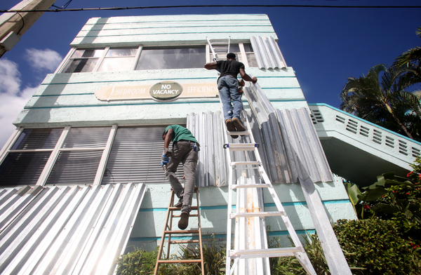
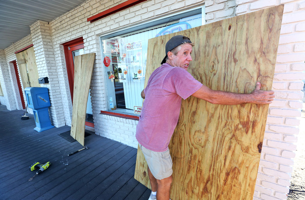
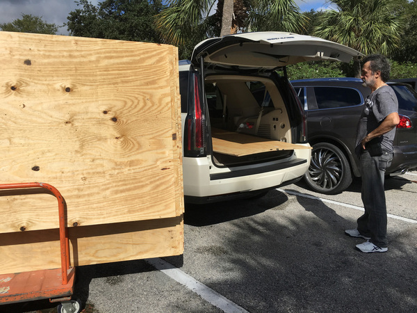
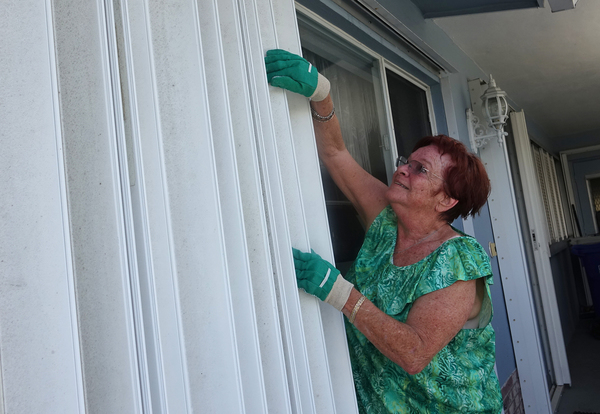
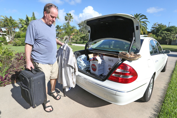
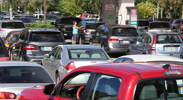
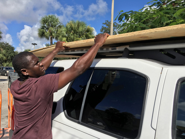
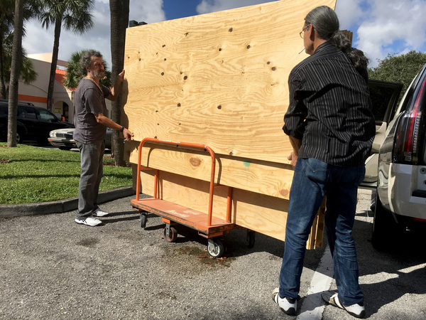
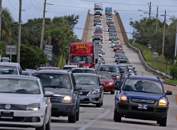
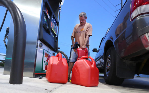
For Florida, the good news is that residents still have time to keep an eye on Matthew and prepare if necessary, Feltgen said.
"Come Monday morning when we all go back to work and back to school," he said, "it could be a very different scenario."