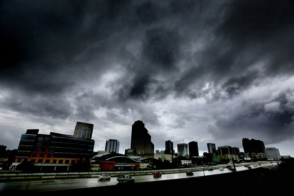
FORT LAUDERDALE, Fla. _ Hurricane Matthew strengthened overnight and could be producing "extremely dangerous" sustained winds of 145 mph by the time it approaches South Florida later Thursday, the National Hurricane Center said.
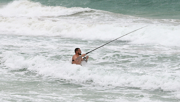
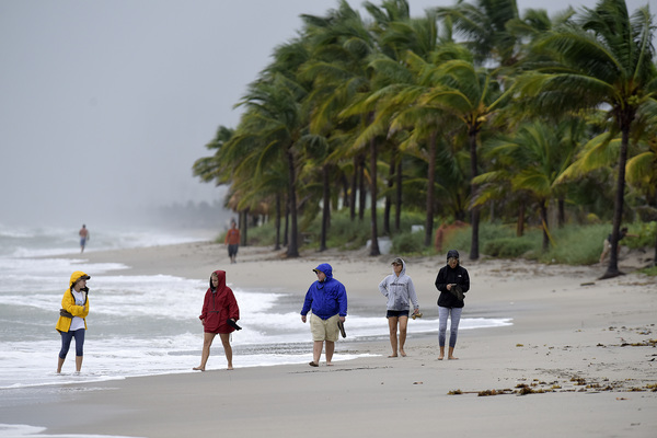
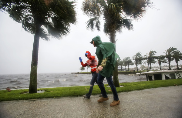
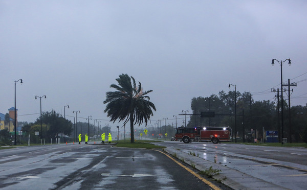
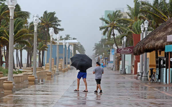
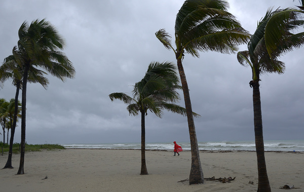
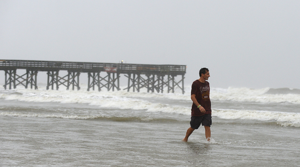
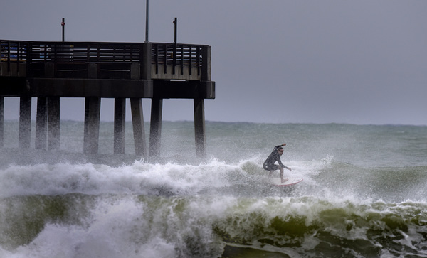
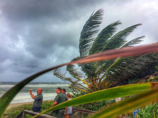
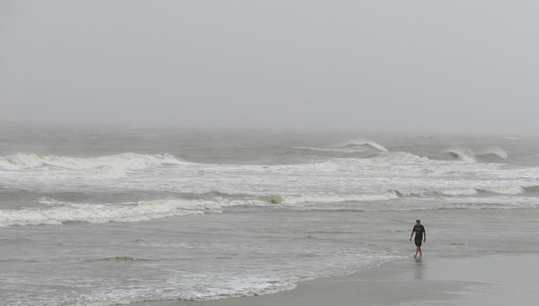
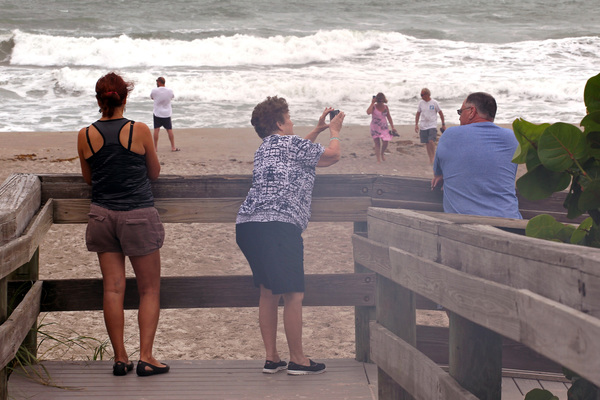
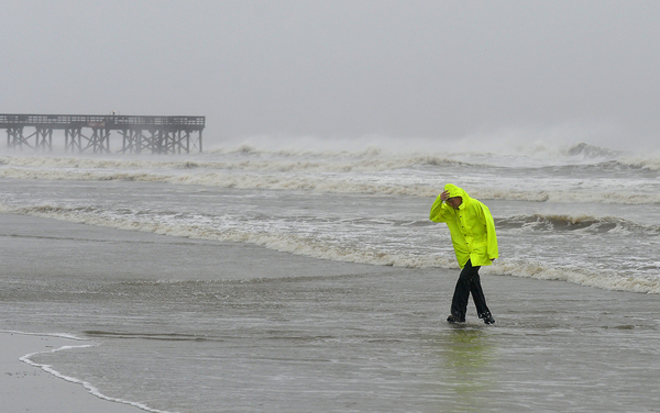
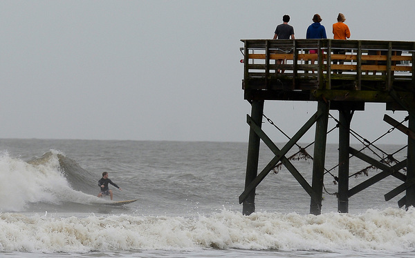
Winds picked up across the region, as the storm's outer bands reached the coast, bringing the chance of gusts of up to 60 mph, according to the National Weather Service.
The storm had been forecast to reach a maximum sustained wind speed of 130 mph as it neared South Florida. But now, as satellite photos showed the storm becoming better organized, with the reemergence of a distinct and narrow eye, the hurricane center said it could produce winds of 145 mph.
"Environmental conditions appear favorable for continued strengthening today and Matthew is expected to become an extremely dangerous Category 4 hurricane while it moves over the northwestern Bahamas and approaches the east coast of Florida," the National Hurricane Center said Thursday morning.
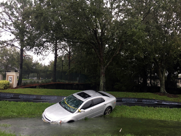
A flood watch has been issued for Palm Beach County that will be in effect until Friday afternoon.
Tropical storm conditions are expected in South Florida by later Thursday morning.

At 8 a.m., the storm was 215 miles southeast of West Palm Beach, producing winds of 125 mph, up from 115 mph overnight. Satellite photos show a distinct and narrow eye re-emerging.
Hurricane-force winds extend outward from the storm up to 40 miles from the center and tropical-storm-force winds extend outward up to 160 miles.
Matthew was approaching the northwestern Bahamas and moving northwest at 12 mph.
When it comes closest to South Florida Thursday night, it is forecast to be producing winds of 130 mph, a low-end Category 4 storm that can cause "catastrophic" damage, according to the hurricane center.
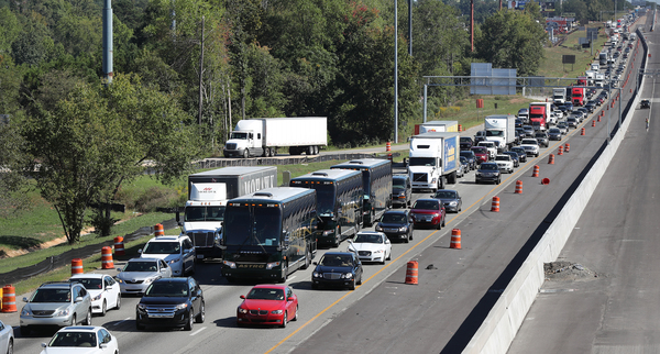
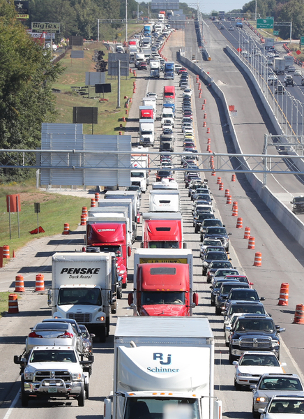
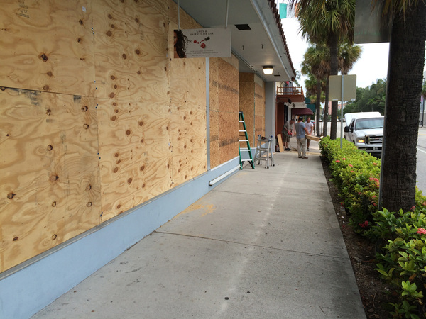
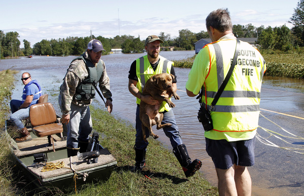
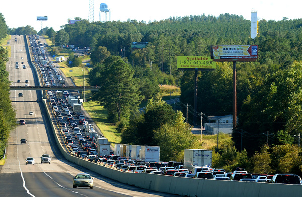
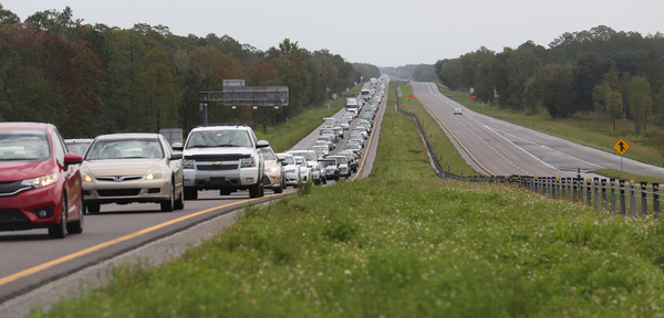
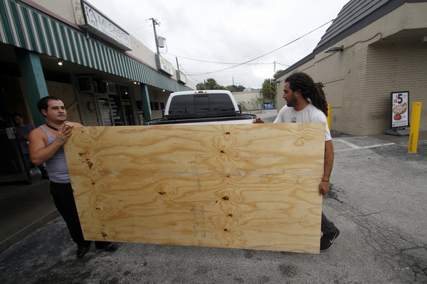
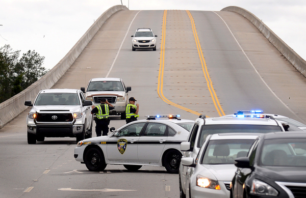
About 150,000 people were ordered evacuated in Palm Beach County Wednesday night, as Hurricane Matthew's projected course shifted closer to South Florida.
The evacuation order, which will not involve the forcible removal of anyone, applies to residents of barrier islands, mobile homes and low-lying areas.
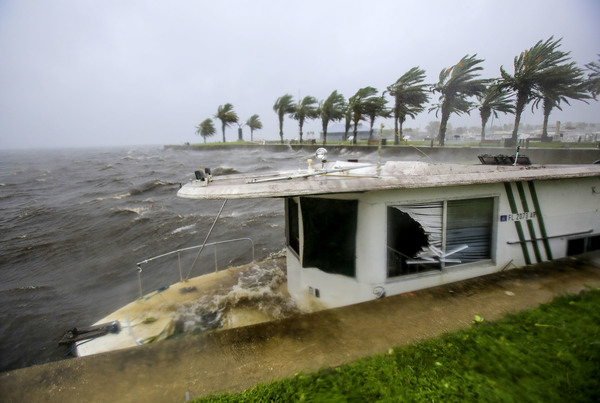
The order came as the National Weather Service raised its estimate that Palm Beach County could experience hurricane-force winds to 50 percent and the National Hurricane Center warned of "life-threatening" storm surge from northern Palm Beach County up the coast.
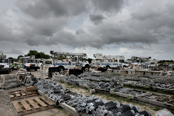
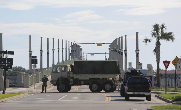
Gov. Rick Scott activated another 1,000 members of the Florida National Guard, bringing the total to 2,500. He announced a suspension of tolls on Florida's Turnpike and other roads in the affected areas.
"Based on the most recent forecast I received from the National Hurricane Center, the eye of Hurricane Matthew is going to be much closer to Florida," Scott said. "Storm impacts will begin tomorrow morning in our state. There is still time to evacuate. Get out now if you are in an area with evacuations. If you make a decision not to leave before the storm, we cannot send someone to save you because you made a bad decision."
The storm's forecast path placed the central Florida coast near the center of the cone of possibilities for the storm's core. But the cone shows much of the southeastern United States at risk of a direct hit, from South Carolina to northern Miami-Dade County.
The projection also increased the disturbing possibility that somewhere off Georgia or the Carolinas the storm could loop to the south and make another run at South Florida next week.
The National Weather Service late Wednesday afternoon put the risk of hurricane-force winds for Broward at 30 percent and Miami-Dade at 10-20 percent.
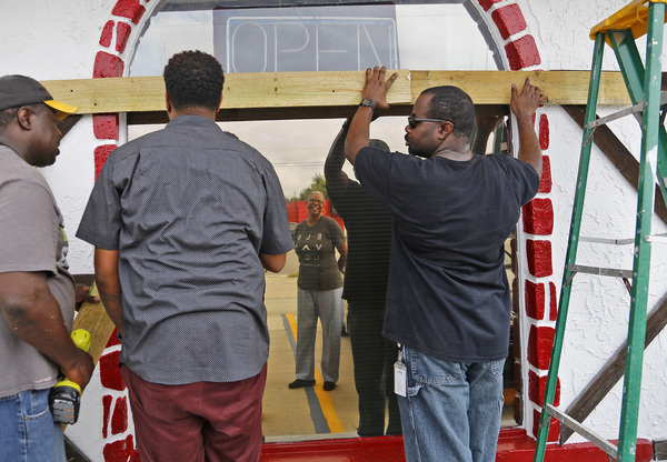
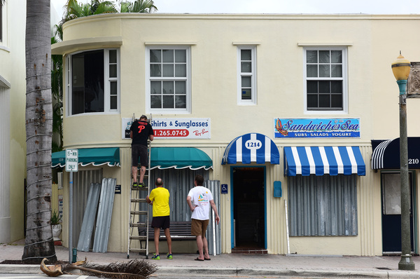
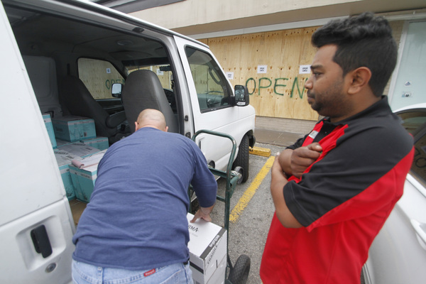
Broward and Miami-Dade counties announced voluntary evacuations. All counties opened emergency shelters. Delray Beach announced a curfew from 6 p.m. Thursday to 6 a.m. Friday.
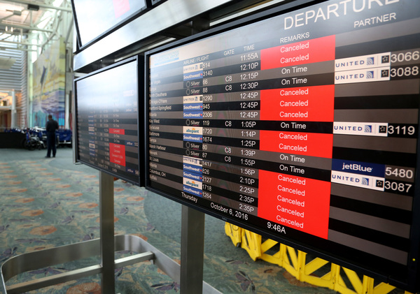
Fort Lauderdale-Hollywood International Airport announced it would close at 10:30 a.m. Thursday. Dozens of flights were canceled there and at Miami International Airport. Palm Beach International did not announce cancellations but said travelers should check with their airlines.
President Barack Obama went to the headquarters of the Federal Emergency Management Agency Wednesday to discuss preparations for the hurricane. He said supplies and response teams have been pre-positioned in Florida, Georgia, South Carolina and North Carolina.
"If there is an evacuation order in your community, you need to take it seriously," the president said.
Hurricane warnings extend from northern Miami-Dade County to Flagler County.
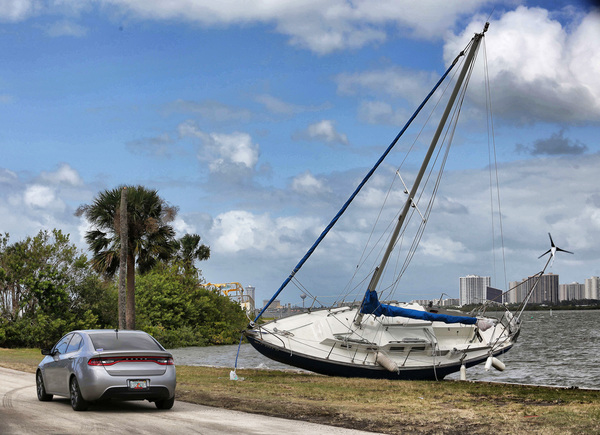
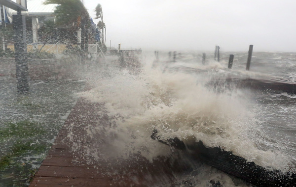
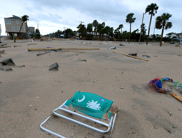
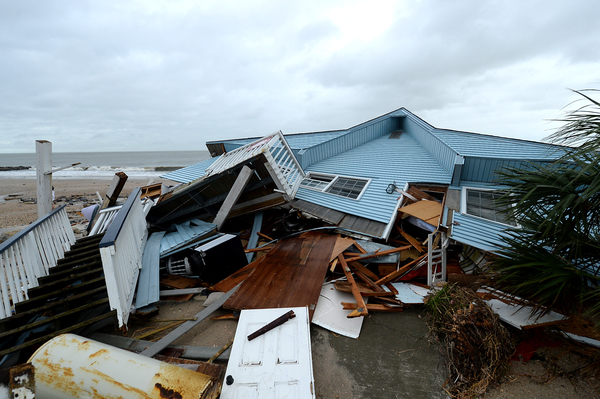
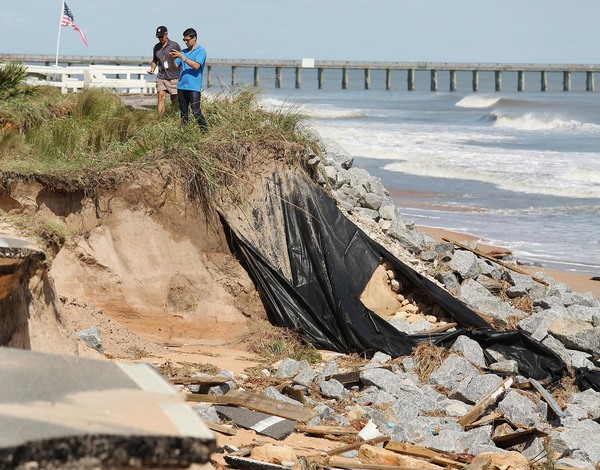
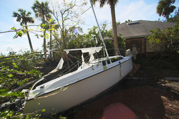
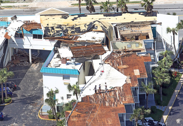
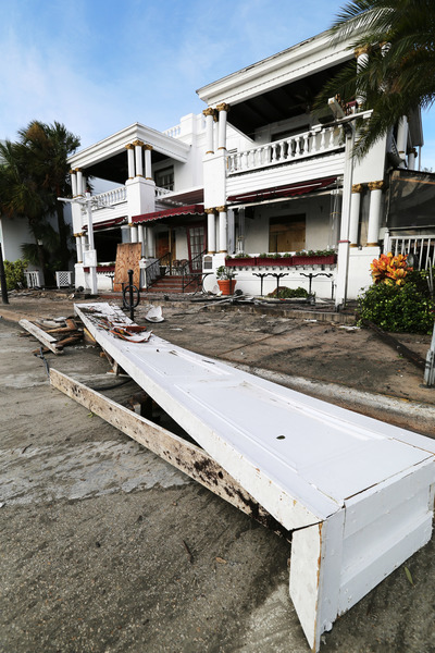
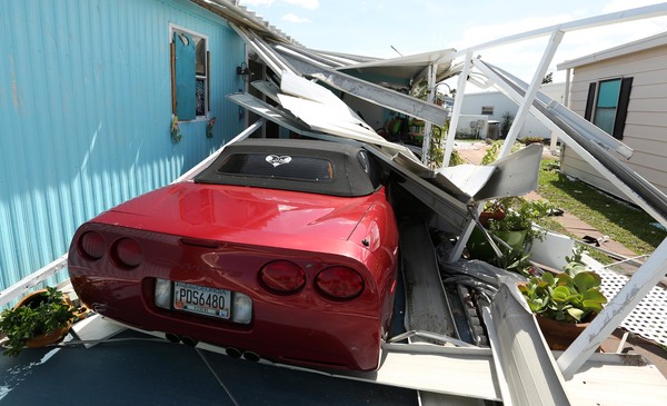
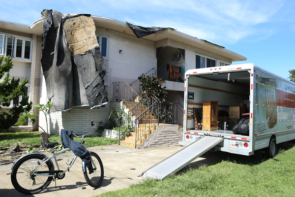
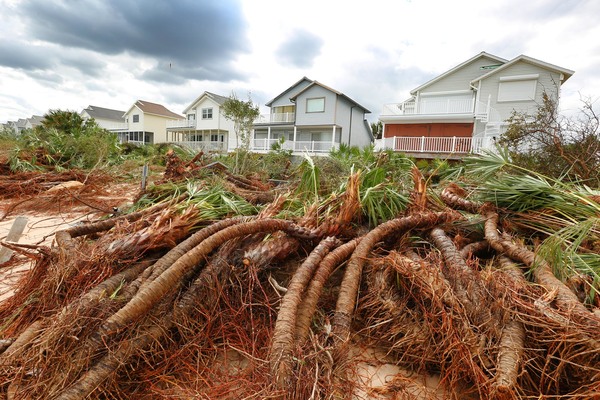
The possibility that South Florida could be struck by a storm of at least Category 3 strength represents the greatest hurricane threat to the region in many years. A Category 3 storm, which produces winds of 111-129 miles per hour, is capable of causing "devastating" damage, according to the hurricane center.
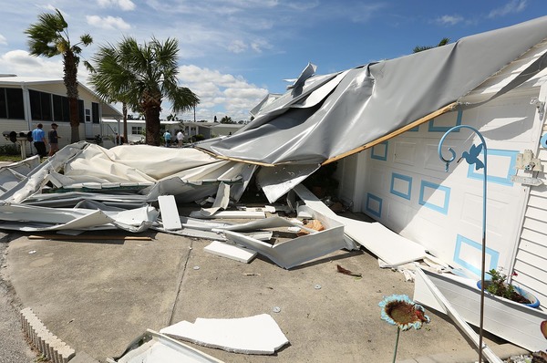
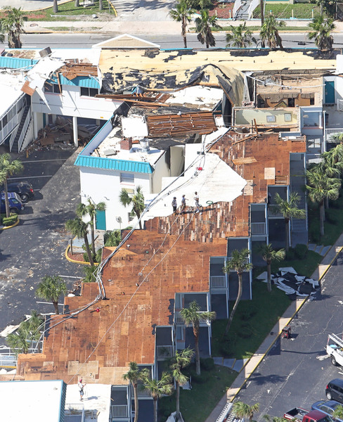
The current forecast calls for the storm to be a low-end Category 4 storm. A Category 4 storm will cause "catastrophic damage," according to the hurricane center.
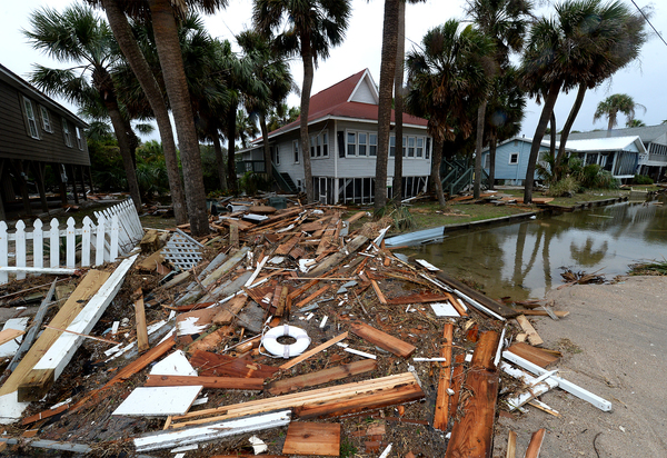
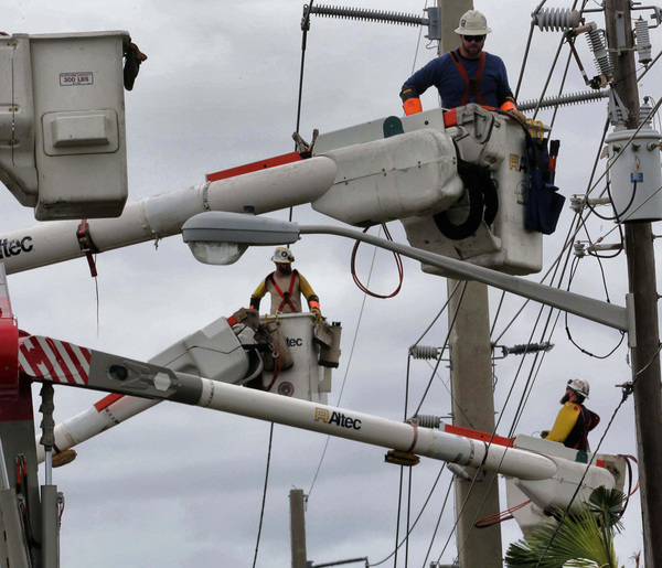
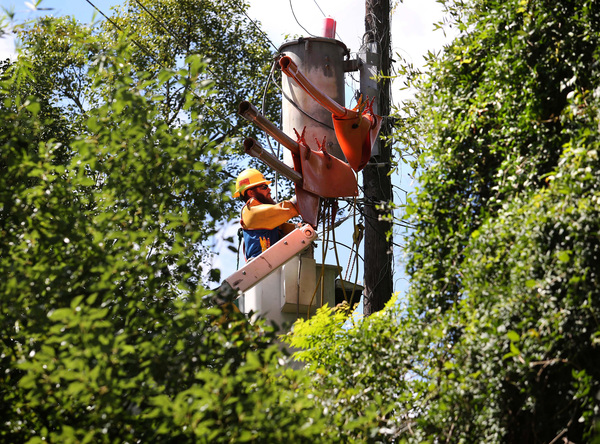
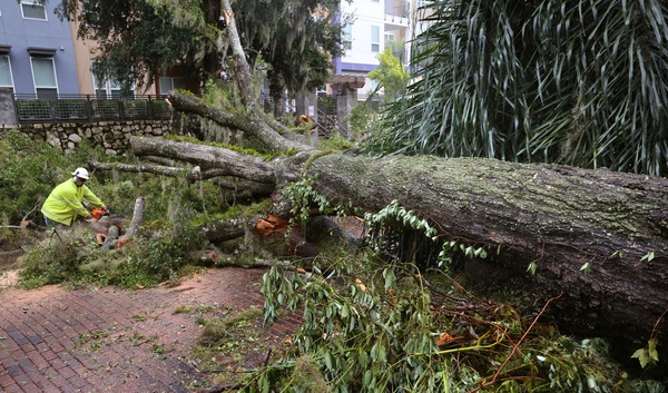
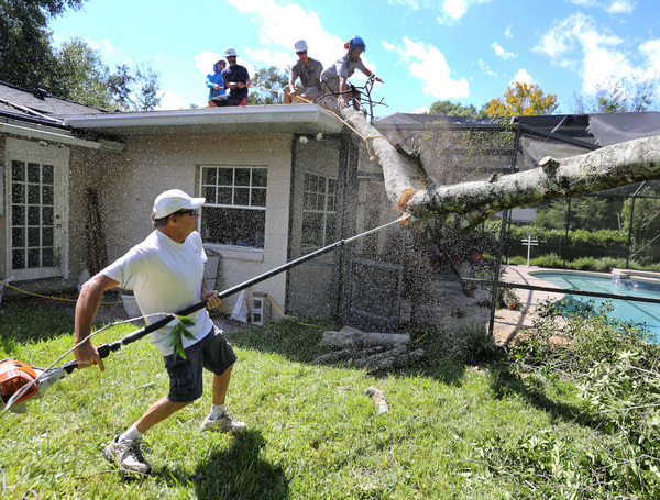
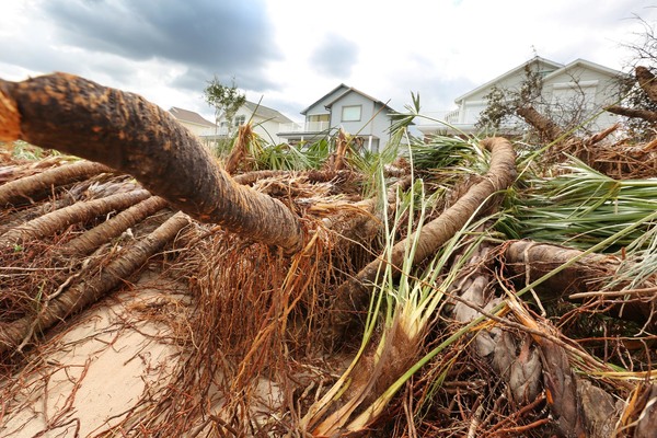
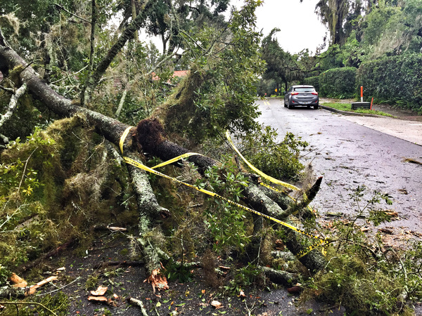
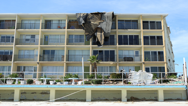
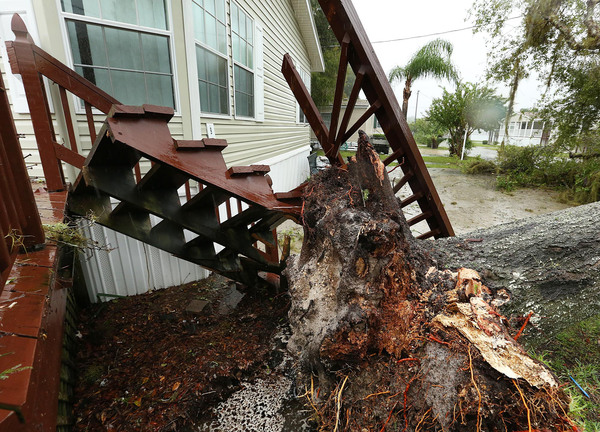
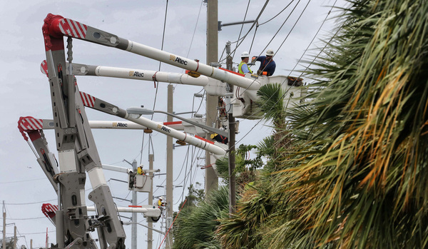
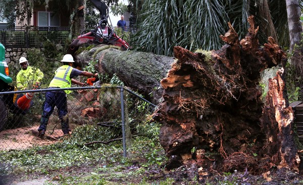
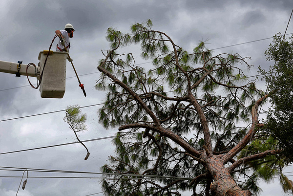
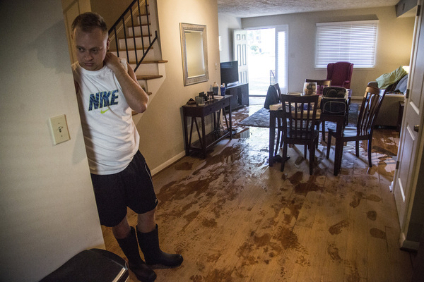
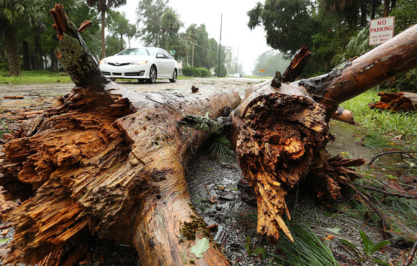
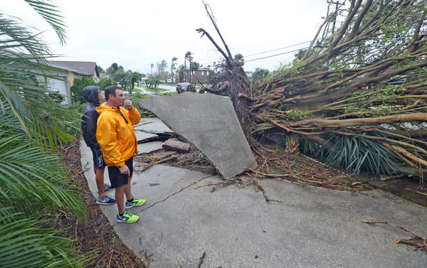
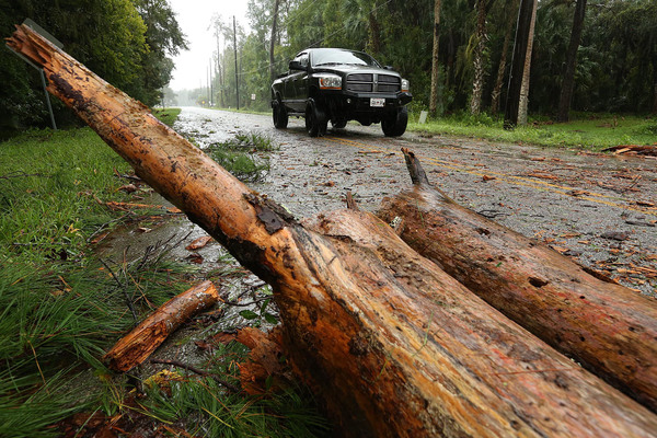
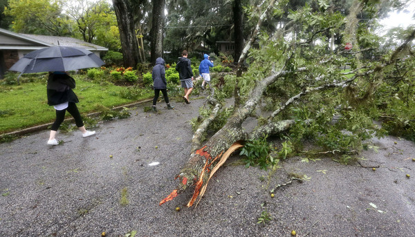
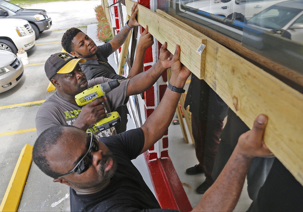
"Well-built framed homes can sustain severe damage with loss of most of the roof structure and/or some exterior walls," according to the hurricane center. "Most trees will be snapped or uprooted and power poles downed. Fallen trees and power poles will isolate residential areas. Power outages will last weeks to possibly months."
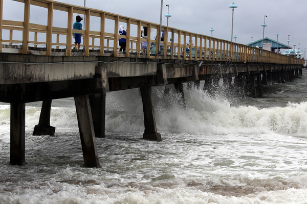
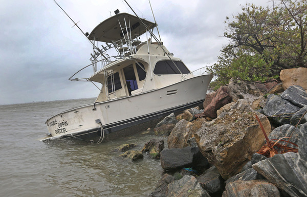
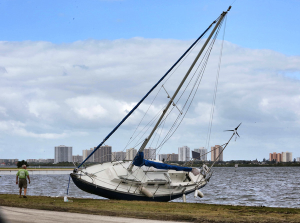
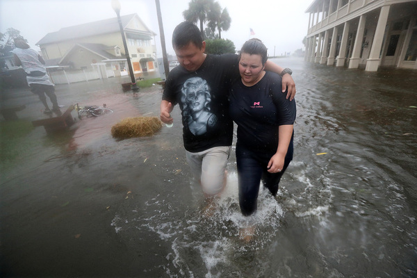
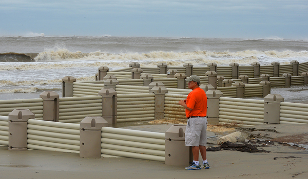
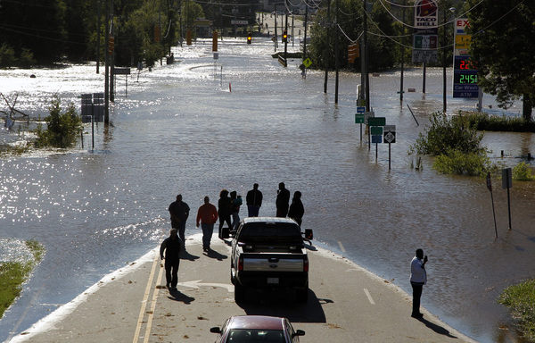
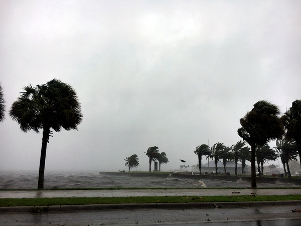
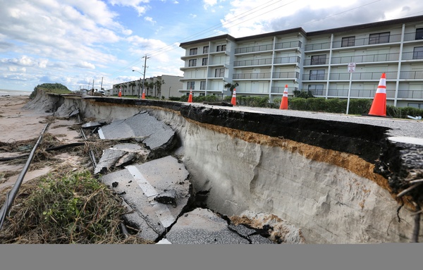
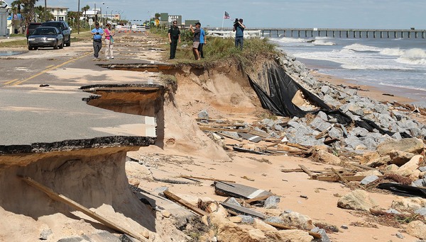
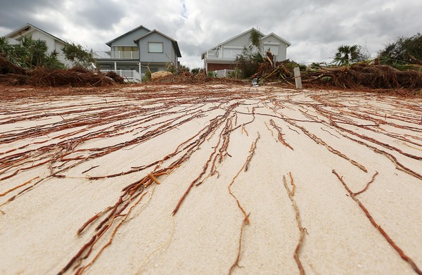
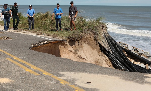
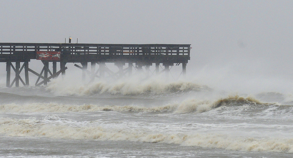
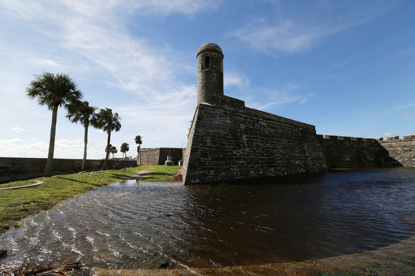
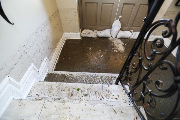
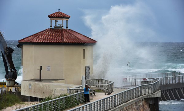
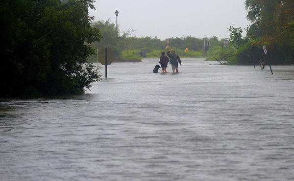
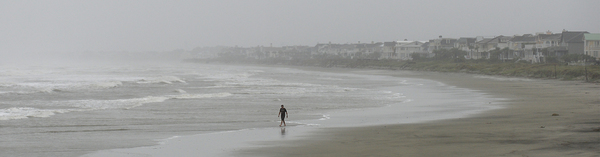
Although wind is the major hazard, the National Hurricane Center said northern Palm Beach County and coastal areas to the north could experience dangerous storm surge, as the wind pushes ocean water onto land.

"There is a danger of life-threatening inundation during the next 36 hours along the Florida east coast from North Palm Beach to the Sebastian Inlet," the advisory said.
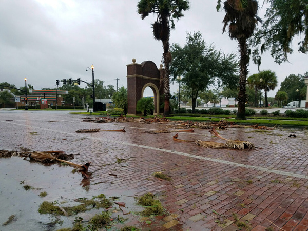
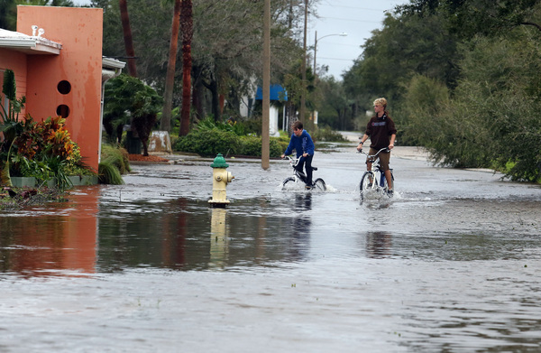
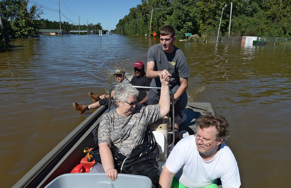
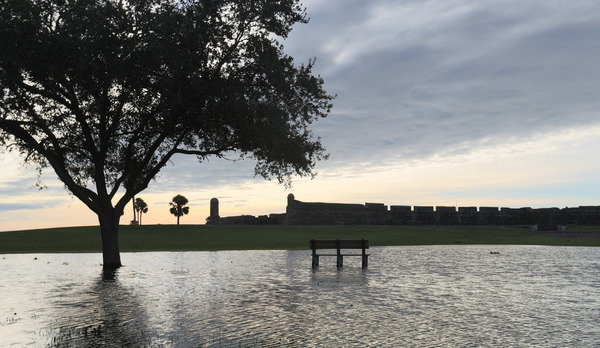
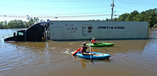
Although Matthew is not expected to produce rain comparable to the torrents dumped on Haiti, the storm could bring several inches to some areas.
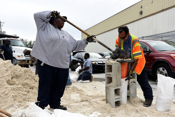
To make room for the rain to drain off land, the South Florida Water Management District, which operates the region's main drainage system, has lowered canal levels throughout the region.
"The system is poised and in a good position," said John Mitnik, the district's chief engineer.
Matthew could bring about 4 inches of rain across Palm Beach County, with about 2 inches in Broward County and 1 inch in Miami-Dade County, according to the water district.
Palm Beach County opened eight shelters. They are at Atlantic High School, Boynton Beach High School, Lakeshore Middle School, Forest Hill High School, Pahokee Middle School, Palm Beach Central High School, Palm Beach Gardens High School and Park Vista High School. A pet-friendly shelter opened at West Boynton Recreation Center, and a shelter for residents with special medical needs will be at the South Florida Fairgrounds.

"We need to evacuate inland within the county and not go to Georgia or Orlando," said Bill Johnson, director of Palm Beach County emergency management. "We run from the surge. We hide from the wind."
In Broward County, storm surge is considered to be less of a threat, which means fewer evacuations are likely, said Miguel Ascarrunz, Broward County's director of emergency management.
"The storm surge threat is minimal at this time," he said at a briefing at the county Emergency Operations Center in Plantation.
But the county wants people in mobile homes or low-lying areas to seek shelter.
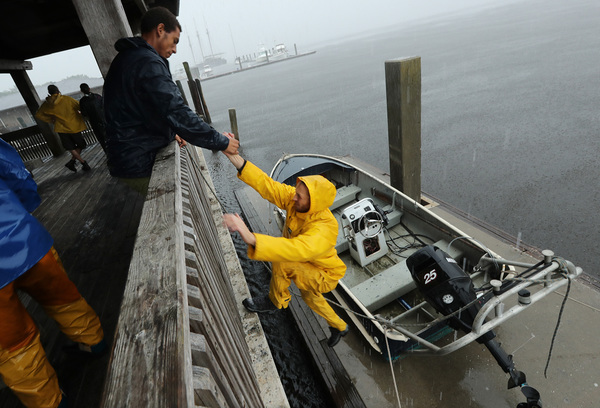
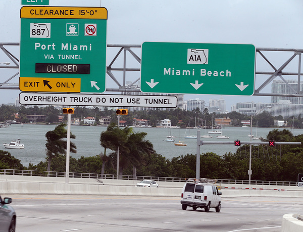
The Coast Guard closed Miami, Miami River, Port Everglades, Port of Palm Beach and other southeast Florida ports. The Coast Guard set Port Condition Zulu, which establishes a safety zone around the ports, prohibiting traffic in or out without permission and any ship-to-shore activities.
There is a second storm in the tropics: Tropical Storm Nicole is spinning about 400 miles south of Bermuda with maximum sustained winds of 70 mph. There are no watches or warnings linked to Nicole. Forecasters say Nicole has a "slow and meandering motion" toward the northwest and is not expected to strengthen Thursday or Friday.