MIAMI _ Hurricane Matthew intensified to a powerful Category 4 storm Friday afternoon as it continued pushing toward Jamaica.
In their 5 p.m. EDT advisory, National Hurricane Center forecasters said sustained winds in Matthew had reached a fierce 140 mph, a rapid intensification forecasters called "remarkable." The storm was located about 465 miles southeast of Kingston, Jamaica, and had slowed to 7 mph.
The storm could dump up to 20 inches of rain in parts of Jamaica, raising the risk of dangerous landslides on the mountainous island. Haiti, where far less dangerous storms can trigger fatal mudslides, could begin feeling tropical storm-force winds by Sunday.

The Jamaican government has issued a hurricane watch. A tropical storm watch was issued for the southwest coast of Haiti, from the border of the Dominican Republic to Port-au-Prince.
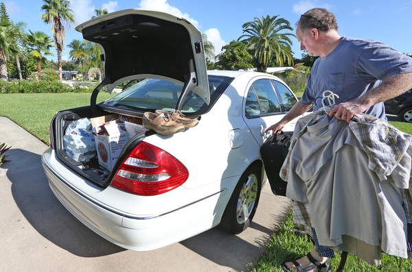
Whether Florida takes a hit next week remains too uncertain to call, but residents should stay alert, National Hurricane Center Director Rick Knabb said Friday.
"We cannot rule out a direct hurricane impact in Florida next week," he said. "Because those models are so widely varying on what they forecast, I've been telling folks during the weekend you do not want to tune out."
Over the last day, sustained winds in the storm increased by about 63 mph in just 24 hours. The intensification happened despite stiff wind shear _ upper winds that typically stifle hurricanes _ blowing at 23 mph. As it moves over warm Caribbean water, forecasters warned the storm could grow even more powerful, with sustained winds reaching 145 mph over the next 12 hours.
The storm is continuing to move to the west, and is expected to slow Friday night and Saturday. It should begin to turn to the north Sunday, taking it across the eastern tip of Jamaica on Monday.
Computer models that earlier split on the storm's future path settled on three-day track slightly west of earlier forecasts. By late Monday or early Tuesday, the storm could cross the east end of Cuba and head into the Bahamas, but forecasters cautioned that models are far less reliable predicting more than three days in advance, with a margin of error of up to 175 miles at four days.

"We've got this thing going north, but it could be to the left or right. We don't want this thing dropping off anyone's radar over the weekend because by Monday it could be a very different storm from what we have now," said hurricane center spokesman and meteorologist Dennis Feltgen. "It's an atmospheric tug of war over the next few days and it will have huge impacts over where this thing goes."
With such a sprawling storm, high winds and rain could be felt across Jamaica. On Friday, the country activated its emergency operations center. Prime Minister Andrew Holness called an emergency meeting with parliament to go over preparation efforts.
Even if it doesn't take a direct hit, Haiti could still see high winds and heavy rain. In February, flooding from rain alone damaged 10,000 homes.

So far, Matthew has been blamed for at least one death: a 16-year-old boy crushed by a boulder on St. Vincent in the eastern Caribbean Wednesday when he tried to clear a blocked drain.
The last major hurricane to make landfall in Jamaica was Hurricane Gilbert in 1988, according to Colorado State University meteorologist Phil Klotzbach. Gilbert was the most intense hurricane in the Atlantic until Wilma beat it in 2005. Matthew becomes the first Category 4 hurricane to strike the Caribbean in September since Hurricane Felix, he said.
Forecasters say Matthew will remain a powerful storm at least until Sunday. At 5 p.m., hurricane-force winds spread 35 miles from the storm's center, with tropical storm force winds extending 195 miles.