MIAMI _ Hurricane conditions began battering the Turks and Caicos and southernmost Bahamas early Friday as the eye of a strong Category 3 Maria passed to the east.
In their morning advisory, National Hurricane Center forecasters said even though Maria's fierce center will pass offshore, the islands may still get hit with a nine to 12-foot storm surge and up to 16 inches of rain. Over the coming days, the storm should gradually weaken as it moves over waters cooled by Jose earlier this month, they said.
At 8 a.m., the storm was located 30 miles north-northeast of Grand Caicos with sustained 125 mph winds. Hurricane-force winds extend 70 miles from the storm's center. Tropical storm winds reach 160 miles.

Dangerous winds and possible flooding should last through Friday over most of the islands, including Matthew Town on Great Inagua, the Bahamas's second largest island. Tropical storm conditions could reach the central Bahamas Friday night, forecasters said.
Early Friday morning, Maria's eye became less distinct in satellite shots, forecasters said, suggesting the storm may be weakening. A strong 17 to 23 mph wind shear has started trying to unravel the storm and should continue over the next five days, which is expected to trigger a gradual weakening, they said. A hurricane hunter plane had been sent to investigate.
Over the weekend, Maria will move between a high-pressure ridge to the east and a trough to the west, which should steer the storm to the north-northwest and then to the north over the next three days. The U.S. and European forecast models split on a track after that, with the U.S. steering it to the right and the European and Canadian model taking it a little more to the left.

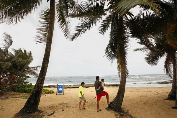
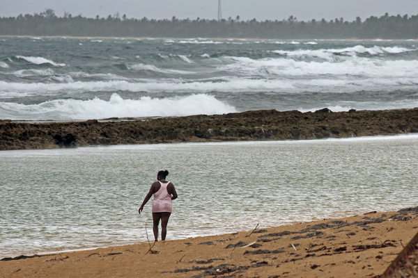
On Wednesday, Maria slammed into Puerto Rico, just over a week after Irma passed off the north coast. The storm knocked out power to the entire island and caused widespread flooding. The east end of the island remained under a flash flood warning Friday morning, expected to last until 8 p.m. Flood warnings covered the whole island.
Thunderstorms and showers will likely continue in Puerto Rico through Tuesday, the National Weather Service said, warning people not to try to cross low-lying roads.
As Maria heads north, it's expected to move well east of the Florida coast and likely remain off the U.S. mainland.