The Hunter's majestic coastline, Port Stephens, Lake Macquarie, the Pokolbin and Barrington Tops all spring to mind when talking about the Hunter's exceptional natural assets.
But 11 kilometers west of Nobbys headland is an equally valuable and globally recognised environmental rehabilitation project that is, in many ways, hiding in plain sight.
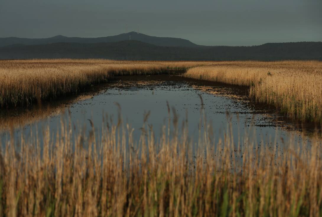
Thousands of Hunter commuters drive past the Hunter Wetlands each day without giving a thought to its enormous environmental and cultural value.
The Newcastle Herald series The Hunter's Hidden Gem has showcased the natural and indigenous history, twentieth century decline and ultimate rehabilitation and future potential of the 2000 hectare wetland area.
When European settlers arrived in the area that was to become Hexham they found an oasis teeming with plant and animal life that had sustained the Awabakal and Worimi peoples for several millennia.
Hexham became a vital transport hub as the Hunter Region evolved throughout the nineteenth and twentieth centuries.
But, as is so often the case, it came at a huge environmental cost.
By the second half of the twentieth century plans were afoot to reclaim what was left of the wetland for urban development.
Many regard the installation of the Ironbark Creek floodgates in the early 1970s as a low point in the region's environmental management.
Whatever so-called benefits were achieved by this project were more than offset by negative environmental impacts.
Hunter River fish stocks declined immediately, surrounding mangroves and saltmarsh died off and the salt water mosquitoes were replaced by a freshwater species.
It took more than two decades for an ambitious rehabilitation project designed to restore the wetland to be put in place.
The floodgates were progressively reopened from 2008 to 2013 to gradually re-introduce saltwater tidal flows from the Hunter River at Hexham.
After decades of toil and perseverance, the project is now regarded as one of the world's most significant wetland rehabilitation projects.
The vegetation survey in 2021 found the area of mangroves had increased to 185 hectares, saltmarsh to 109 hectares and tidal mudflats and shallow ponds to 135 hectares. The vegetation mapping indicates a continuing transition of habitat in a mosaic fashion including mangrove recruitment and expansion of saltmarsh, ponds, channels and mudflats.
These estuarine wetland habitats covered 520 hectares in 2021, approaching the predicted minimum increase of 600 hectares.
The next stage of the Hexham wetland project is to make it more accessible for the wider community.
A proposed cycleway that would extend from Shortland to Tarro before connecting to the Richmond Vale Rail Trail would provide an ideal entry point to thousands of Hunter residents and visitors.
Any government with an eye to investing in the region's ecotourism potential would be wise to consider supporting this project.
Similar projects have already been realised at Glenrock Lagoon and the Fernleigh Track with great success.
Hunter residents are justifiably proud of the region's natural beauty and in recent decades have demonstrated their commitment to preserving it.
Hopefully the Hunter Wetlands will be held in the same popular regard as the region's other natural icons.
Issue: 40,117