January has seen a very wintry start in Wales with snow already having fallen in some parts of the country.
Hail, snow, and "scattered wintry flurries" fell in parts of the country earlier this week and the cold weather has returned on Friday.
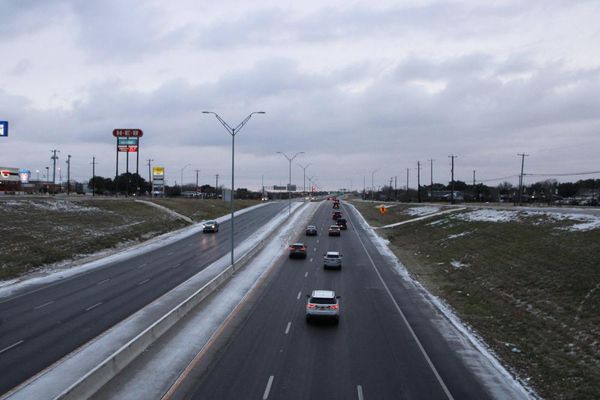
A weather warning is in place for parts of Wales with temperatures set to plunge to below freezing again.
A Met Office yellow weather warning for ice in is place for parts of south and mid Wales on Friday with icy patches likely to form on roads and pavements making for "potentially tricky conditions".
The Met Office forecast for Wales reads: "Cold through Friday evening, turning milder and wet into Saturday. Friday's showers fading through the evening and winds easing.
"A frost and some ice developing early in the night but becoming cloudier and milder from the west as rain spreads eastwards and winds pick up again."
But where is snow expected? Here is your hour-by-hour forecast as Wales prepares for a cold snap.
Friday, 6pm
Most parts of the country will see dry and cloudy weather but some light rain is expected in the north.
Areas like Caernarfon and St Asaph should see some rain during the early evening.
7pm
This cloudy weather will continue for most parts of the country with highs of 6°C expected.
South Wales is expected to see temperatures dip the lowest to around the 2-3°C mark in areas such as Cardiff and Merthyr Tydfil. A similar picture is painted as we move towards 8pm.
9pm
All parts of Wales are set to be dry and cloudy by 9pm on Friday evening.
The north will also see the weather remain overcast, particularly in areas like Caernarfon.
Highest temperatures are expected in western areas such as Pembrokeshire.
This cloudy weather will continue as we approach into the late evening.
Midnight
By midnight heavy rain will batter most parts of the country.
Weather maps show a pretty bleak picture as rain is seen to fall across Wales.
Some parts of the north are set to remain dry with areas such as St Asaph remaining cloudy as we enter the early hours.
It's in the north where you're likely to see some wintry showers whereas rain and hill snow is likely to be seen further south.
Saturday, 3am
According to the Met Office this heavy rain will persist well into the morning with rain expected to soak Wales until at least 3am.
Areas such as Wrexham may be lucky enough to see the rain ease off and see a period of drier weather during the early hours.
6am
By 6am the entire country is likely to see rain falling with wet weather dominating Wales.
On the positive side the weather will also be milder than the past few days with highs of 10°C expected in areas like Swansea, Carmarthen, and Cardigan.
It's a warmer picture overall for Wales on Saturday morning with areas of south Wales also expected to see temperatures reach between 8°C and 9°C.
9am
The heavy rain is expected to persist later into the morning. It will continue into the afternoon although it should ease slightly by 3pm.
The afternoon will see lighter showers scattered across the country before we see drier weather as we move into the evening.
To read more stories by WalesOnline sign up to one of our newsletters.