
As a multimillion-dollar project to protect one of the most flood-prone towns in the country moves ahead, an engineering review suggests a rethink is needed.
Plans to ring-fence Westport with a series of flood walls could turn the town into a bathtub and increase the risk to life and property, engineers say.
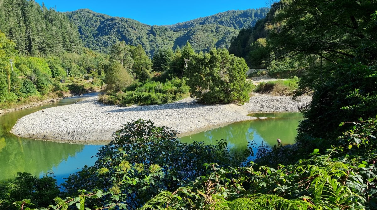
The government last month approved funding of $22.9 million to protect the town from the Buller and Orowaiti rivers after two disastrous floods in a year wrecked homes and forced 2000 people to evacuate.
But the flood-wall proposal put forward by the West Coast Regional Council will need major tweaking, officials have warned.
Advice to the Government released this month by the Department of Internal Affairs says the council’s scheme would improve Westport’s resilience to smaller and more frequent floods.
But the design as it stands presents “residual risk” in the event of a major flood.
A technical review by engineers Tonkin and Taylor commissioned by the DIA says there’s no precedent in New Zealand for the flood-wall scheme.
“The main component – a ring bund around urban Westport – functions as a ‘bathtub’,” the review says.
“For smaller and more frequent flood events it should provide protection by keeping the water out if properly designed and constructed.”
But in a flood such as the one in July 2021 it could be a different story the engineers warn.
Raised risks
“Failure of the wall … would result in the town being rapidly inundated … reducing the window of time for evacuation and increasing the potential for loss of life.”
A number of risk factors could lead to the breaching of the flood walls and embankments as they’re designed, the review says.
Some would be built on soils prone to liquefaction and lateral spread – like those in the post-earthquake residential red zone of Christchurch.
A magnitude 8 quake such as the Alpine Fault rupture expected in coming decades would cause severe damage to structures in those areas, the engineers say.
“We note the alignment of the flood walls and embankments through the north of the town crosses an area where liquefaction occurred in the 1968 Inangahua earthquake – an Alpine Fault event would cause a greater level of liquefaction.”
A section of the flood walls would be built with timber that has never been used for rivers the size of the Buller or the Orowaiti.
And the proposed flood walls are similar to those that failed during the Edgecumbe flood of 2017, with short seepage pathways at their foundations, the review says.
“At no time did the (Edgecumbe) river overtop the flood wall – instead the wall was found to have failed because of seepage pressures beneath it.”
And then there’s the question of stormwater – and how the “bathtub” will dispose of it.
During river floods, rainfall and urban runoff depends on free-running drains.
“But if peak flood levels exceed the discharge point levels, this will effectively result in the lower parts of town slowly filling up like a bathtub,” the review warns.
Large drainage pumps could possibly prevent that, but the issue isn’t dealt with in the business plan and the councils have conceded that more modelling is needed.
Unintended consequences
Perversely the ring embankment itself is expected to raise water levels in the Buller River, according to the engineers.
That’s mainly because the council wants to protect the left bank of the Buller for the Carters Beach community and the airport.
The stop bank planned in that area will block off an overflow path for the river in flood and pose a threat to the Buller bridge, the town’s main escape route in emergencies, the report says.
“The scheme will increase peak flood levels at the Buller bridge by 600mm, reducing the freeboard under the bridge to less than 200mm, significantly increasing risk of a bridge blockage and overtopping the Westport flood defences upstream.”
And the water levels under the bridge would also fail Waka Kotahi’s minimum requirements.
The choices are to build a new bridge before the flood walls go up or abandon the idea of protecting Carters Beach and the airport, the engineers say.
There’s no provision for a new Buller bridge in the Government funding package and no mention of the predicted risk to the bridge in the business case presented for the scheme by the Buller District Council.
Such technical issues are significant, the DIA says – and Treasury is concerned at the funding precedent the Government would be setting.
“This is outside existing policy settings – responsibility to fund flood resilience has largely been delegated to councils while central government funds response and recovery … this could result in similar requests from other councils.”
Once was unique
But some investment is justified because Westport is unique, the DIA concludes. Which was true last August, at least, when the report was written.
“The town is suffering repeat floods with high recovery costs and crown asset exposure; it has cost the Government $100 million in two years, has extreme socio-economic vulnerability and limited ability to pay rates.”
The $22.9 million allocation for Westport in May’s Budget is roughly half what the council asked for and includes $1 million to reimburse the regional council for the catastrophe fund it liquidated to cover emergency riverbank repairs.
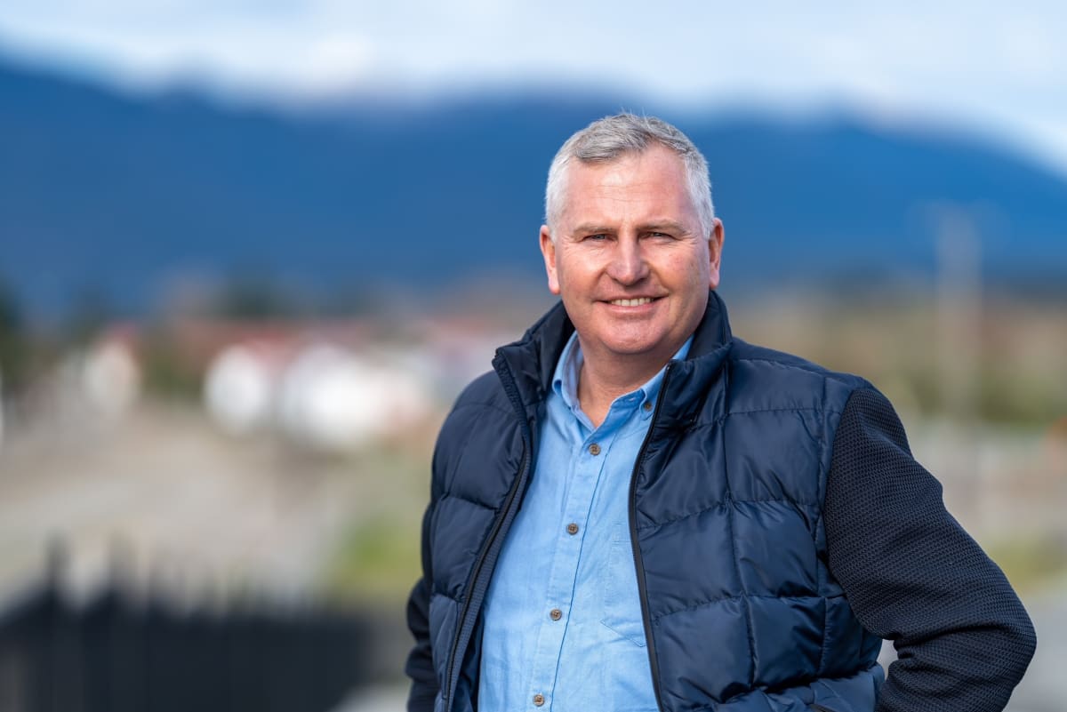
But with a $10 million ratepayer contribution, the funding will build the walls and buy the town 50 years to plan, regroup and relocate as needed to face what’s coming with climate change, says Westport Mayor Jamie Cleine.
Cleine says the flaws raised by the technical review are matters to be sorted out by the steering group appointed to take the project forward.
The independently chaired group is made up of key leaders from the Buller and regional councils, Internal Affairs and the National Emergency Management Agency.
“There are few hundred thousand dollars of crown funding for the next step, which is to finalise the design,” says Cleine.
“Once they’re satisfied it’s all doable, that unlocks the rest of the funding and the project gets under way.”
Allowing for more design work, geotechnical testing, breach-modelling, peer reviews, resource consents and land purchases, it’s likely to be a couple of years before any ramparts start appearing around the historic town bordered by two rivers and the sea.
Given the apparent risks of the “bathtub” model, how confident is Cleine the West Coast Regional Council – the country’s smallest and poorest – is up to the job?
“All these concerns can be worked through. There’ll be multi-stakeholders involved, there’ll be a project team and the council will bring on the people it needs to do it.
“It will happen.”
Made with the support of the Public Interest Journalism Fund


.png?w=600)

