Historic Edinburgh map and image archive goes online
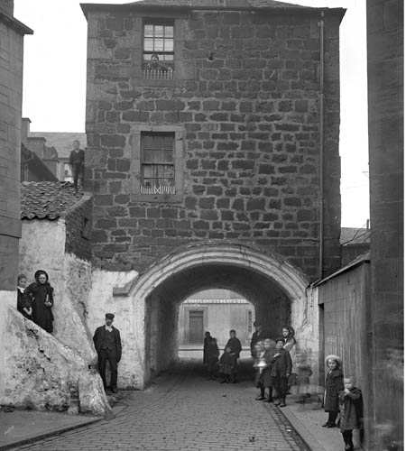
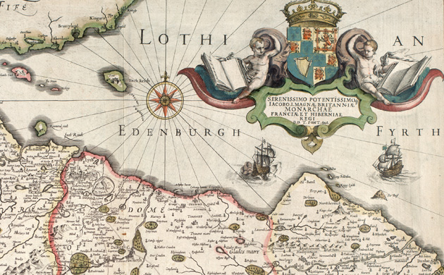
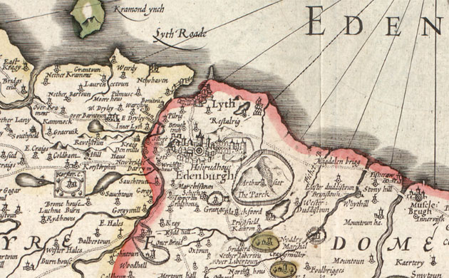
Did you spot the wee boy on the roof? This shot of the Leith Citadel Arch on Dock Street was taken in 1900. It has since been demolished. There are more images of the Citadel at this link | pic: RCAHMS Photograph: RCAHMS Hills are drawn on to this view of the Lothians by Timothy Pont, engraved by Jodocus Hondius, around 1610 | pic: National Library of Scotland Photograph: National Library of ScotlandA closer look at the detail in Timothy Pont and Jodocus Hondius' 1610 map of Edinburgh | pic: National Library of Scotland Photograph: National Library of Scotland
A plan of Holyrood Park, Edinburgh, showing the newly built drive. The palace of Holyroodhouse can be seen in the top left of the map. The map is from 1846, made by William Nixon | pic: National Library of ScotlandPhotograph: National Library of ScotlandThis map of the Lothians was published in 1745 by Hermann Moll | pic: National Library of ScotlandPhotograph: National Library of Scotland
Sign up to read this article
Read news from 100's of titles, curated specifically for you.